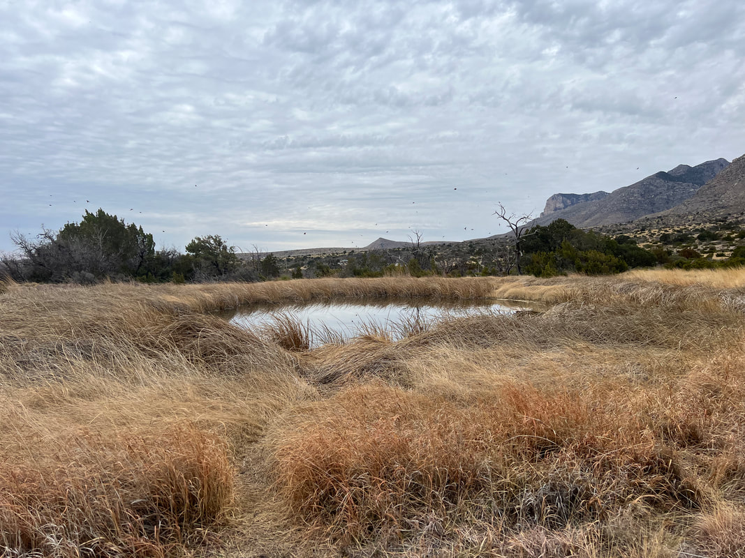
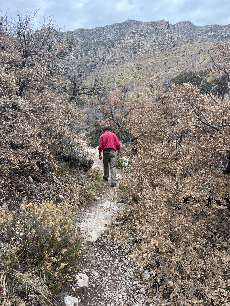
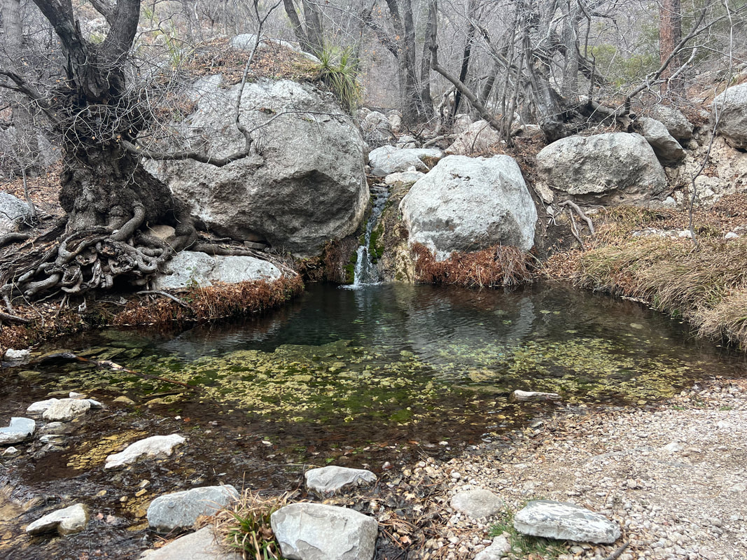
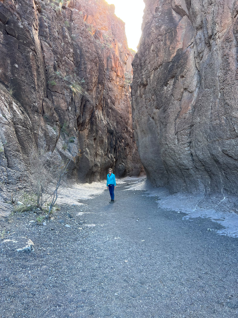
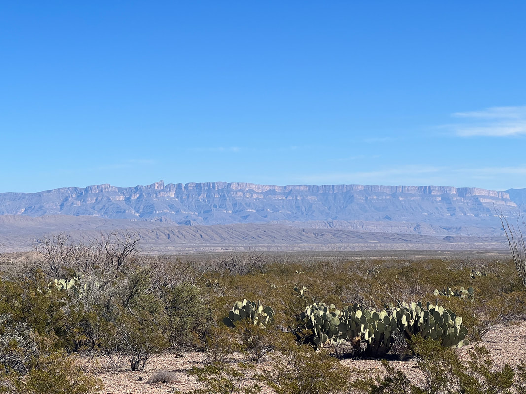
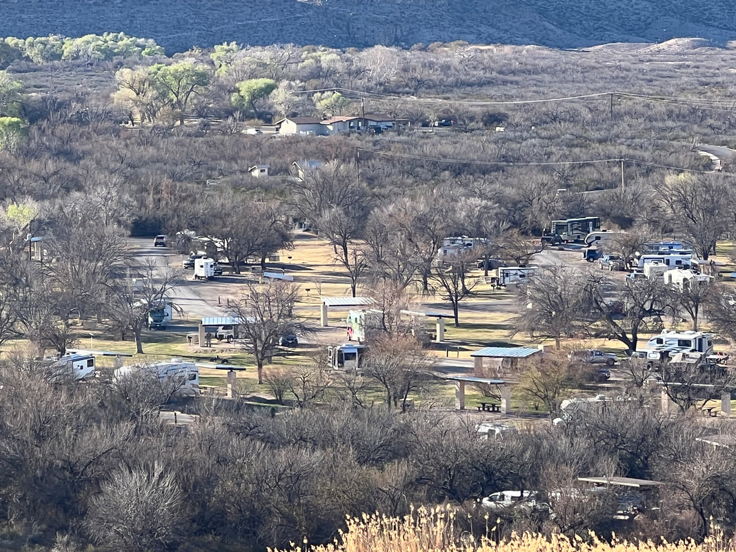
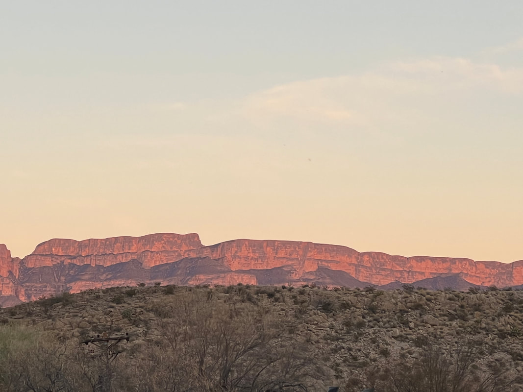
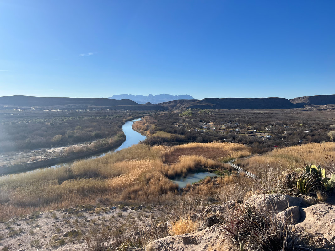
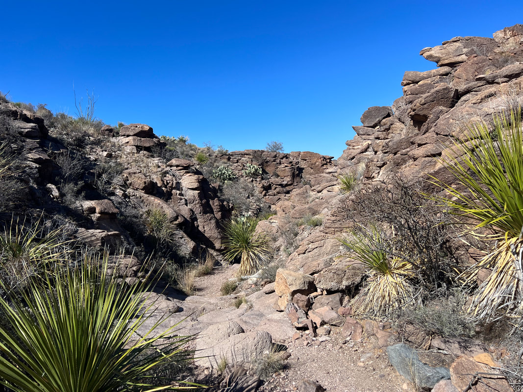
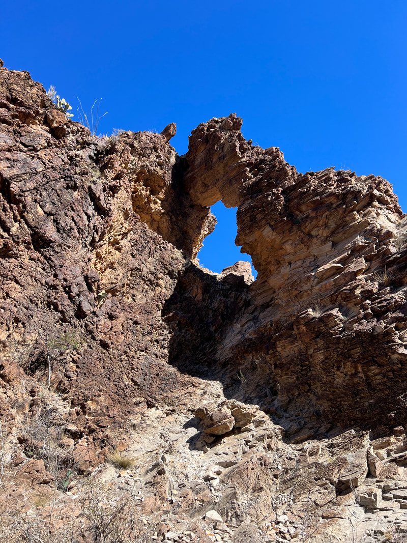
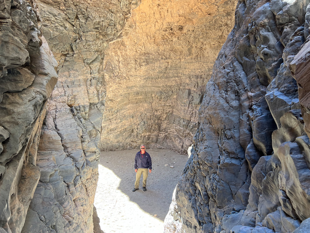
Bottomless Lakes State Park was about 15 minutes from downtown Roswell, and very easy to find. We really liked the park since it was in a nice setting next to one of the larger bottomless lakes, which are really gypsum sinkholes, and the pull through spots were enormous and made parking on the level very easy. Our pipes had defrosted during the day, but the pump wasn’t working, but since we also had city water we didn’t worry about that and Tom decided it was probably a blown fuse which he could fix in the morning; that turned out to be exactly the case. We took a hike through the park and the campground past a few of the lakes before settling in for the night.
|
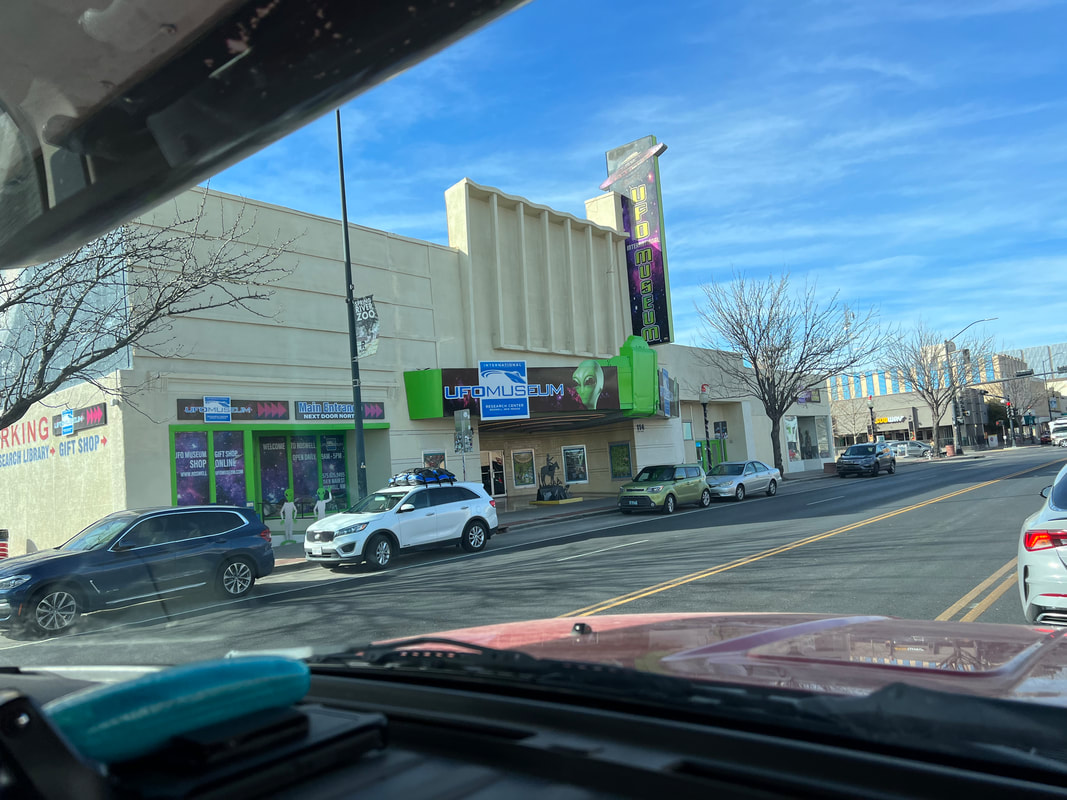
After spending most of our one full day at Brantley Lake State Park doing laundry, we got in touch with our friends Todd and Tatiana, who were driving west from Florida to their home in Albuquerque. Our original plan had been to head from Brantley Lake to somewhere near White Sands and meet up with them there, but they were traveling more slowly than anticipated, and weren’t going to make it to White Sands before the end of the weekend, and Tatiana had to be home by Sunday night to work on Monday. So, we took a look at the weather report for Santa Fe and Albuquerque for the end of the week, and saw that temperatures were supposed to remain mostly above freezing. Santa Fe was on our list of capitals to visit, but we had planned to catch it later when the weather was warmer. But, since we wanted to see Todd and Tatiana, and the weather was supposed to be good, we decided that we would head for Santa Fe and then meet T&T at their home in Albuquerque on Sunday late in the day. We looked at the route and realized that Roswell, NM, the home of the UFO Museum, was right on our path to Santa Fe. We booked at night at Bottomless Lakes State Park which is very near Roswell, and made plans to spend the next day in Roswell and the night at Bottomless Lakes SP before heading for Santa Fe the following day. Things went mostly to plan, although we woke up to 15 degree temperatures that morning and found that our pipes had frozen. We had intentionally not hooked up the city water, and had stayed at the campground with electricity so we could run the heater all night, but 15 is below the threshold where we can keep the outside walls above freezing, even with the heater running all night. We always keep a jug of water in the camper, so we managed to get breakfast and get cleaned up despite the frozen pipes, and decided to let Mother Nature warm up the pipes through the course of the day. Roswell was less than two hours from Brantley Lake, and we had no trouble finding the UFO Museum right on the main drag through town, so we pulled into their parking lot in time to have a quick lunch before touring the museum. No matter what you think of UFOs, the museum is worth the $7 admission fee just for the experience of talking to the people who run it and watching and listening to the other visitors. At this point, it is more of a shrine to conspiracy theories than UFOs and aliens, but it’s interesting to see how they’ve chosen to present their case. We read some of the exhibits, until we realized that most of the plaques said the same thing, just written by a different writer, and then went to a lecture by an 81-year old man who has been researching the Roswell case for 33 years. His findings aren’t especially compelling, and while I don’t disbelieve in UFOs or aliens, his presentation didn’t do anything to push me in that direction. But, it was fun to look around the audience and see people nodding and hmmmming. The Maya left a lot of evidence that proves extra terrestrials have been visiting Earth for a very long time. We left the UFO Museum and went in search of a Buddy propane heater since we don’t want a repeat of the frozen pipes experience. We justified it because the Buddy Heater gets hotter than the little electric heater, and, with the propane heater, we can boondock and have heat all night. We hadn’t bought one before because we kept thinking that we would be driving into warmer weather, but since it seems that we may never escape the cold, the $100 investment would be worth it. We were scheduled to stay at Bottomless Lakes State Park that night, which also had electric hookups, so we didn’t take the time to get everything we would need to run it, and Tom could come up with a plan and a list of what he needed before finishing the project. Bottomless Lakes State Park was about 15 minutes from downtown Roswell, and very easy to find. We really liked the park since it was in a nice setting next to one of the larger bottomless lakes, which are really gypsum sinkholes, and the pull through spots were enormous and made parking on the level very easy. Our pipes had defrosted during the day, but the pump wasn’t working, but since we also had city water we didn’t worry about that and Tom decided it was probably a blown fuse which he could fix in the morning; that turned out to be exactly the case. We took a hike through the park and the campground past a few of the lakes before settling in for the night. The next morning we took another short hike on a boardwalk through the wetlands, before heading for Santa Fe.
1 Comment
We got up on Wednesday to slightly less chilly temperatures than the day before, which made it easy to get up, get dressed, eat, and head for Carlsbad Caverns. The wind had picked up a little overnight, but we were fortunate that it was a tail wind as we drove from Guadalupe Mountains NP directly to Carlsbad Caverns NP. We arrived at the park around 9:30, about an hour before our ticketed time to enter the cavern. We went into the Visitors’ Center to see what was there before going underground, and found that they were letting people in ahead of their scheduled times because the park was so lightly visited that morning. We got our tickets and went back to the truck to dump extra jackets and sunglasses that we wouldn’t need underground, grabbed a water bottle, which is the only thing you’re allowed to take, and headed for the cave. Tom and I were both really excited about visiting the cave, but we were a little skeptical about how impressed we’d be with a cave where you could tour guideless on a sidewalk after all of our fantastic crawl-on-our-bellies caving experiences through seldom visited caves in Belize. We shouldn’t have worried, because as with the other National Parks we’ve visited, the park officials designing the experience have done an exceptionally good job of preserving the beauty of the park while making it accessible. Yes, there’s a paved path through the park, but there’s no blatant damage to the cave evident as a result of the path even though it’s obvious that some destruction was necessary to build the path. Yes, a guardrail runs along the entire path, but that’s actually a good thing because it keeps people from touching the formations, as well as keeping them safely on the path. Yes, the entire cave is electrically wired and lit, but it’s hard to find any of the wires, and the lights are strategically placed to enhance what you see rather than blinding you so you miss things. I’m not sure if it’s intentional, but the lighting is perfect for the night mode on my iPhone camera, and between the good lighting and the good camera, I took lots and lots of really nice photos, no flash necessary. Excellent interpretive signs dot the path, explaining what’s visible as well as explaining how the formations were formed. The entire path is about 2.5 miles if you choose to enter by foot rather than on the elevator, and it took us almost 3 hours to walk through because there was so much to see and photograph. Of course we also chose to walk back up the foot path, which is a little over a mile and rises about 700 feet, but because we’d already stopped for all the photos we wanted on the way down, we actually walked up faster than we walked down. Below are a few of the over 100 photos I took, which really don’t do the cavern justice. The photos don’t show the sheer magnitude of the cave, and while the iPhone camera is great, some of the beauty of the formations is lost. Our only disappointment is that visiting at this time of year you don’t get to see the bats, who head south to Mexico in October and don’t return until sometime in March. But, the fact that the cave is so lightly visited this time of year is some compensation for that. For us, our walk through the cave was dark and quiet, and I imagine it could be quite a different experience with lots of people taking flash photos and talking. We left the underworld and had a quick lunch in the camper before heading for Brantley Lake State Park, just north of the city of Carlsbad. We did a quick grocery stop before easily finding the campground and getting settled well before dark. We woke up this morning to 22 degrees, so we were very glad we’d decided to pay to stay at a campground with electricity available for our heater, and we’re using the fact that we also have water to catch up on laundry, which is one of those inevitable necessities that is a lot more difficult on the road than you would expect, even with an on board washer. We didn’t get to see the bats, but we did get to see some long horned sheep on our way out of the park.
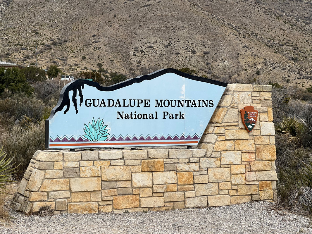
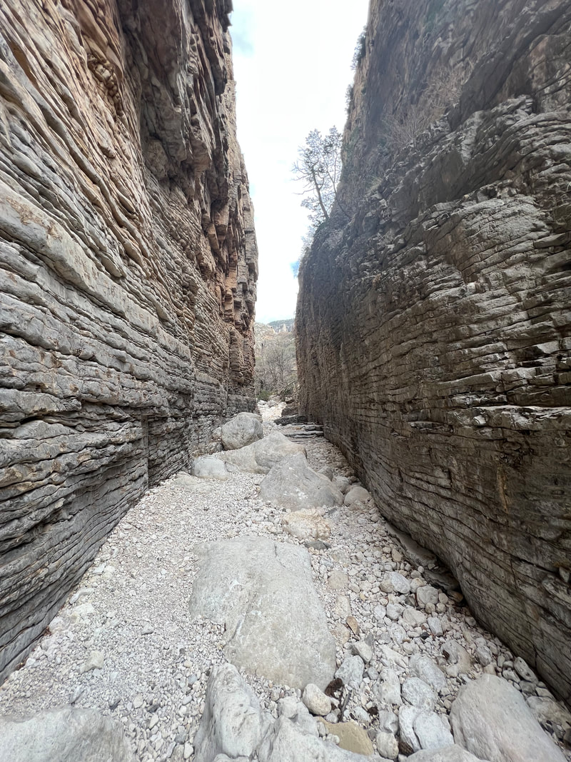
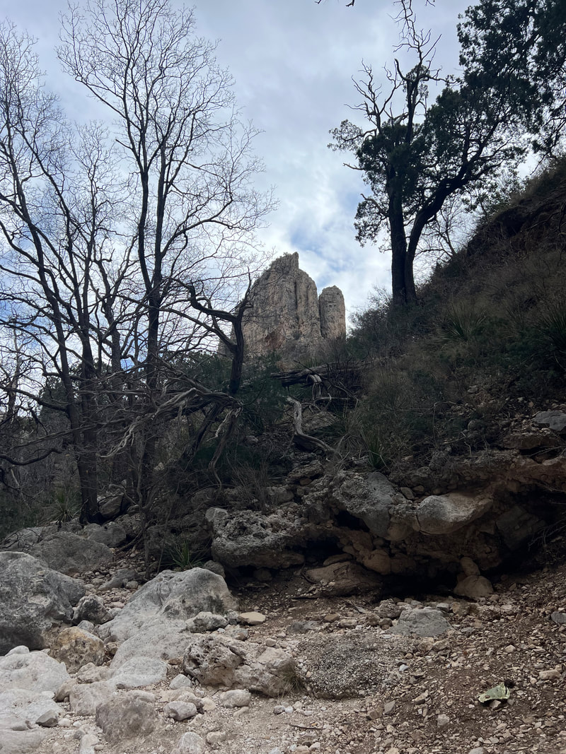
One benefit of the Texas Rest Area south of Van Horn was that Tom and I both had excellent cell reception. After three days of being mostly offline in the National and State Parks, we had a little bit of catching up to do, as well as planning our next steps. We knew we were heading towards Guadalupe and Carlsbad, but had no idea of our timing or where we were staying, or even how far the parks were from where we were parked. Tom found that Guadalupe was only about two hours away, so he booked a campsite for two nights since we knew we could easily reach it the next day. Then, he started looking at weather reports for the next few days, and found out that a high wind warning had been issued for the Guadalupe Mountains area, starting the next afternoon. We don’t especially like driving our high profile camper in any wind, and the 30-60mph winds they were predicting, with (gulp) 85mph gusts, were enough to make us worry and rethink our plans. We went to bed that night planning to be up early to make a decision on what to do. After considering canceling our reservation, we finally decided that we would get a quick breakfast and get on the road as quickly as possible so we could get to the park before the windstorm started. Our plan worked, and we pulled into the Guadalupe Mountains National Park Visitors’ Center at 11AM, which was actually 10AM since the park is in the Mountain Time Zone. We had to figure out how to hard set our phones and watches, since apparently the park is right on the edge of the time zone change and phones don’t catch it. But, since there was still no wind, and we couldn’t even get into our campsite until noon, we headed down the road to the Frijole Ranch where we had a great tour of the ranch, as well as a nice 2.5 mile hike on a loop trail that passes two springs that served the ranch. We finished our hike around 12:30, so we drove back to the campground. I have to admit that I think the National Park Service could do a little better, since we’re paying $20 a night to park in a parking lot that doubles as an RV lot and a trailhead parking lot. Restrooms are available, as well as water from a hydrant, but the hydrant doesn’t allow a hose to be hooked up so RVs can’t fill their tanks, and the park doesn’t have a dump station. However, I also know from talking to National Park personnel that the National Parks are at a bit of a crossroads because they’ve become much busier over the past few years, they don’t have the infrastructure to support the increased traffic, and putting in the infrastructure goes against the National Park Service’s mission to preserve the National Lands. Many of the parks we’re heading to over the next few weeks don’t even offer camping, because there are so many free to cheap options on BLM land and other government owned lands that it just isn’t worth it. Guadalupe is in a strange position because Texas doesn’t have BLM land, and nearby rest areas aren’t conducive to camping, so taking the path of least resistance probably isn’t really a bad plan, even if they don’t look so great compared to other National Parks where we’ve stayed. All of that aside, we decided that it wasn’t a bad place to hunker down and ride out the windstorm since there’s nothing to fly around in the wide open lot, and the lot is slightly protected as it is surrounded by mountains. And, we were there early enough that we were able to take another 4-mile hike to the Devil’s Hall in the afternoon. On the trailhead sign, the hike is billed as “moderate,” and the estimated hiking time is 2-3 hours. However, I’d read on the park alerts that storms over the past couple of years have pushed boulders into the trail, so they’ve changed the classification to “strenuous” and the estimated hiking time to 3-5 hours. We took off around 2:30, and decided to see how far we could get in an hour, giving ourselves time to turn around and come back if it looked Iike it would take us longer than 3 hours, which would put us pretty close to sunset, not to mention the time when the wind advisory was going to change to a wind warning. When we got back, we decided that the hike was well worth the difficulty, especially since we got to the camper just as the wind was starting to pick up around 4:45. We took the dogs out for a quick walk, and shut ourselves in our safe little home. We made and ate dinner, all the while listening as the wind got louder and gustier, rocking the camper to the point where we made sure our Yetis had their lids on and sealed. By the time we were ready to go to bed, we decided it wasn’t even worth taking the dogs out for last time. Even though we weren’t too worried about things blowing around on the basically bare parking lot, we figured better safe than sorry and we would deal with the consequences in the morning.
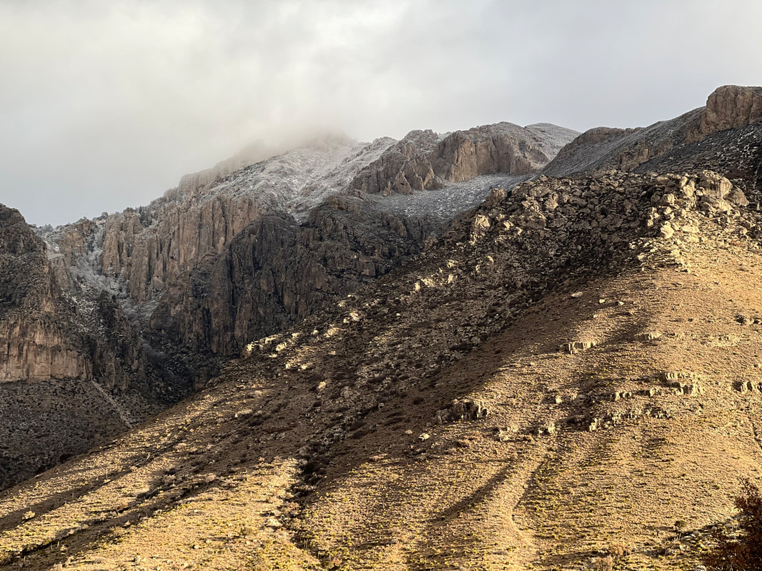
Nobody slept too much last night. I don’t think the 85mph gust estimates were exaggerated, and there were times when the howling wind sounded like a train running into the camper. Things were banging together in the closets, the truck springs were creaking, and sleet was hammering the skylights. We felt more like we were on a boat in slightly choppy waters rather than in a camper on wheels in a parking lot. Shortly before bed a big class A pulled into the spot right next to us, which turned out to be a really good thing for us since they served as a wind block on one side. We weren’t overly worried about any major damage since we know how well built the rig is, but between the noise and the motion, sleep was just about impossible. It was still windy when we decided to get up, but the sun was shining and the tops of the ice covered mountains were sparkly and beautiful. And, all three dogs made it through the night, although it didn’t take them long to do their business when Tom took them out. The wind has gradually decreased over the course of the day, but between chilly temperatures and the breeze, we’ve spent most of the day in the camper. We have reservations to tour Carlsbad Caverns tomorrow morning, which we will do on the way to our next stop at Brantley Lake State Park in New Mexico. While the many boondocking options in New Mexico are really attractive, the morning temperatures are supposed to be in the low 20s, so we’re going to spend a few dollars and stay at a campground where we can again plug in our electric heater. After that we’re heading for White Sands, where we plan to really get into the boondocking part of our trip. We only booked at BBRSP because the National Park campground was full, and we weren’t sure what we were going to find because the booking process was unclear to us. Many locations were listed on the Reserve America site, but no campsites, and while that booking engine normally makes it very clear what is provided and what is allowed at each campsite, for this park it was anything but clear. Only one location listed a maximum RV length of 30’, so we decided to book there for two nights. We also decided that we would be very sure to get to the Barton Warnock Visitors’ Center well before closing so we could ask lots of questions and figure it out. After finishing our hike in the National Park and driving out the western gate, we basically followed the river to the BBRSP Visitors’ Center and arrived right around 3PM. The ranger looked like she was used to dealing with confused people, and she pulled out a map and highlighted the La Cuesta camping area, which was about 15 miles farther on the river road. She explained that it was basically a boat launch, but that they had four designated camping spots for RVs, provided the RVs were completely self contained. She told us to pick any empty site, and gave us a receipt to tape to the windshield. Sure enough, La Cuesta was clearly marked, and the campsites were clearly defined by guardrails like you see around curves at the edge of the road. Each corral had a picnic table and a fire ring, and the opening was plenty wide enough to comfortably park a fairly large rig. Unfortunately the whole lot slopes down towards the river, so we had to use all of our boards under the riverside tires to get anywhere close to level, but it turned out to be clear and easy. We took a walk down to the river and looked across at Mexico [again], although by this point we were pretty used to being within spitting distance of Mexico. We met another couple traveling in their Winnebago Ekko and their friend who is traveling in an almost identical vehicle, and compared notes on our travels. They were following the same path as we are, and had noticed us at BBNP - go figure! We talked about what was available to do in the area, and retired to our campers. Despite the fact that the “campground” is just a parking lot on the side of the road, the night was very quiet since the road gets very little traffic after dark. We spent the next day exploring the area. Two short nearby hikes allowed dogs, so we did those hikes, as well as a loop hike on a 4WD road. Dogs are allowed anywhere vehicles can go, so we took the dogs on that longer hike as well, which turned out to be a mistake since they all had sore feet from walking 5 miles on the sharp stones. We completely respect the reasons dogs aren’t allowed on most trails at all of the parks in the area, and one of those reasons is that the footing is hard on their feet. We thought they’d be okay on the 4WD track since there isn’t any sharp and pointy vegetation, and it isn’t very hot right now, but even without those factors, they all ended up lame, with Kismet not even wanting to walk outside for a couple of days. A few days later they’re all fine, but we learned a good lesson about taking our jungle dogs into the desert.  We had seen this obviously foreign object from way back on the trail and had been discussing what it was. I said it was a crashed space ship, joking of course, but in line with the theme of the area. Tom thought it was the bad of a cement mixer. Turns out we were both right, since it was in fact the back of a cement mixer, dumped on this spot and painted to look like a crashed space ship. The next day we left the site and headed north. Before we left the park, we stopped at the Fort Leaton Historic Site, which is run by the BBRSP. We planned to visit Fort Davis National Historic Site at the end of the day, and knew the forts were all connected, so we figured we would get some good background, which we did. However, we ended up leaving there later than expected because as we returned to the truck, we saw police trucks with flashing lights surrounding our vehicle. Tom approached the closest officer, and asked if there was a problem with our truck. The officer explained that we had nothing to do with it, and they had just made a traffic stop, and pointed to a small white car on the other side of our camper which was, to us, completely out of view. They asked if we would mind waiting while they finished, and Tom said we wouldn’t, especially since the police trucks with lights flashing were blocking the exits. We went in the camper and peeped through the windows to watch as they arrested and handcuffed the driver, a young man, and then proceeded to sort through the garbage pile that filled every inch of his car besides the driver’s seat, pulling out vials of what we assume were drugs. When it looked like this search could go on for the rest of the day, Tom asked again if it would be possible for us to leave, and after a brief conference among the officers they moved one of the trucks blocking the exit and we were free to go. We knew we needed to stock up on groceries again, so I looked at Google and found a regional grocery chain called Porter’s in Presidio, the next town. There were other Porter’s in towns we would be passing, but we decided to get the shopping out of the way. Porter’s turns out to be an extremely well stocked midrange grocery, with good produce and excellent meat. And, because they seem to have a mostly Mexican clientele, I was able to get a lot of supplies I’ve been missing in the US grocery chains since we left Belize, with the exception of the Puerto Rican grocery our friend Rhea took us to in Sarasota a month and a half ago. After stowing the groceries in the camper, we grabbed some cheese and crackers and headed for the Fort Davis National Historic Site. Fort Davis and Fort Leaton were connected, although Fort Leaton was run by a series of families through the years, where Fort Davis was a much larger fort run by the military. Many of the buildings that made up the fort are now no more than stone foundations, but there are a few completely refurbished buildings, as well as a few in the process of being repaired. We left our sore-footed dogs in the camper and spent about an hour and a half walking around the grounds, looking at foundations and peering in windows. We were a little worried that we wouldn’t have time to see anything since we hadn’t arrived until 3:30, but the hour and a half turned out to be just about perfect. We decided to head towards Guadalupe Mountain National Park, even though we knew we couldn’t make it that night. We had learned that all Texas rest areas allow overnight camping, and all of the areas we had passed had more than ample space for a number of rigs. On the way, we were watching what was to us an Unidentified Flying Object, trying to figure out what it was. It didn’t move, and our path took us close enough that Tom took a pretty good photo, which I posted on Facebook to find out what it was. We discovered that it’s an aerostat, used by Customs and Border Patrol to monitor border activity of people and goods. Shortly after that, we came to a rest area just south of Van Horn, and decided that was a good place to park. A man was there doing landscape maintenance, and we asked him if it was okay to park for the night since there was nobody else there to talk to, and he assured us that Texas is proud of their rest areas and their policy that allows tired travelers to pull off the road and get a good night’s sleep. We were there just in time to catch the sunset, and had a very quiet night although Tom said he heard one train overnight on the tracks on the other side of the road. We heard coyotes yipping and howling in the distance just as we were getting ready to pull out in the morning, but nobody gave us any trouble and it looks like the system works.
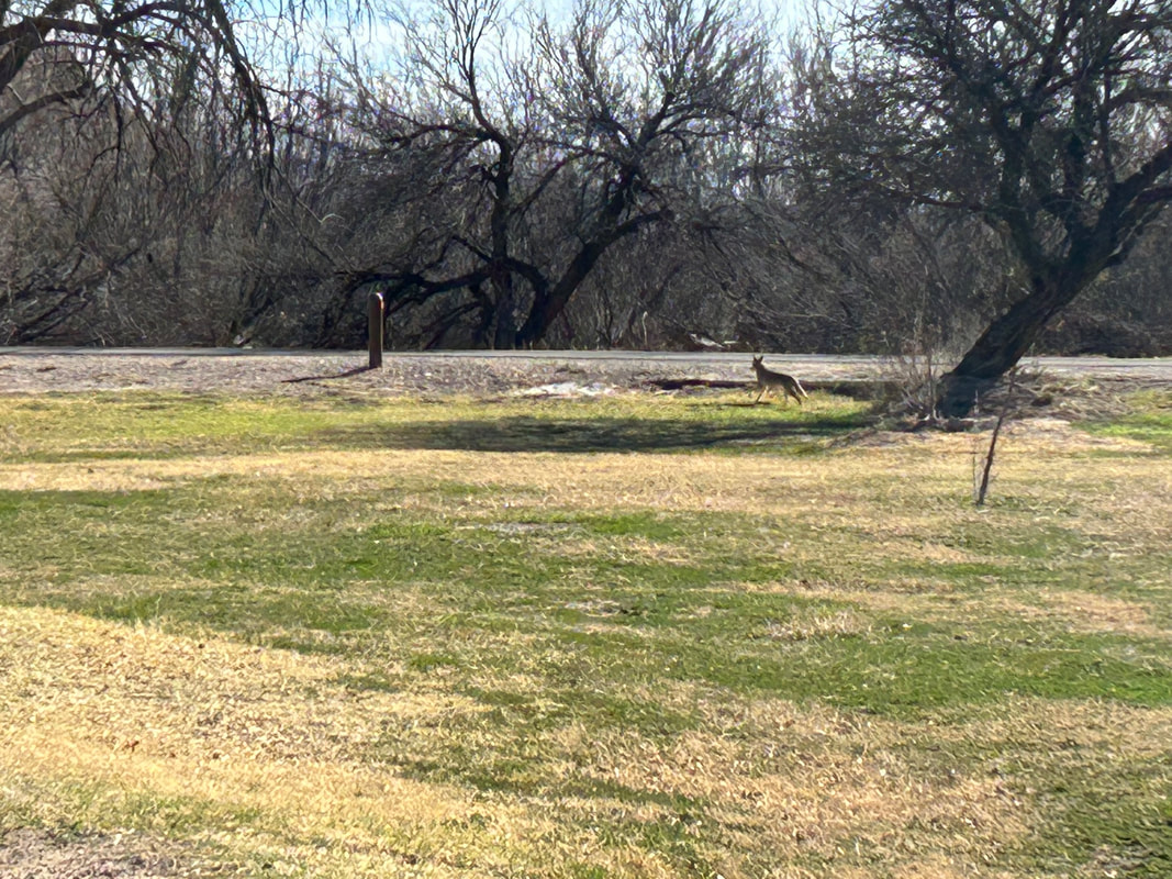
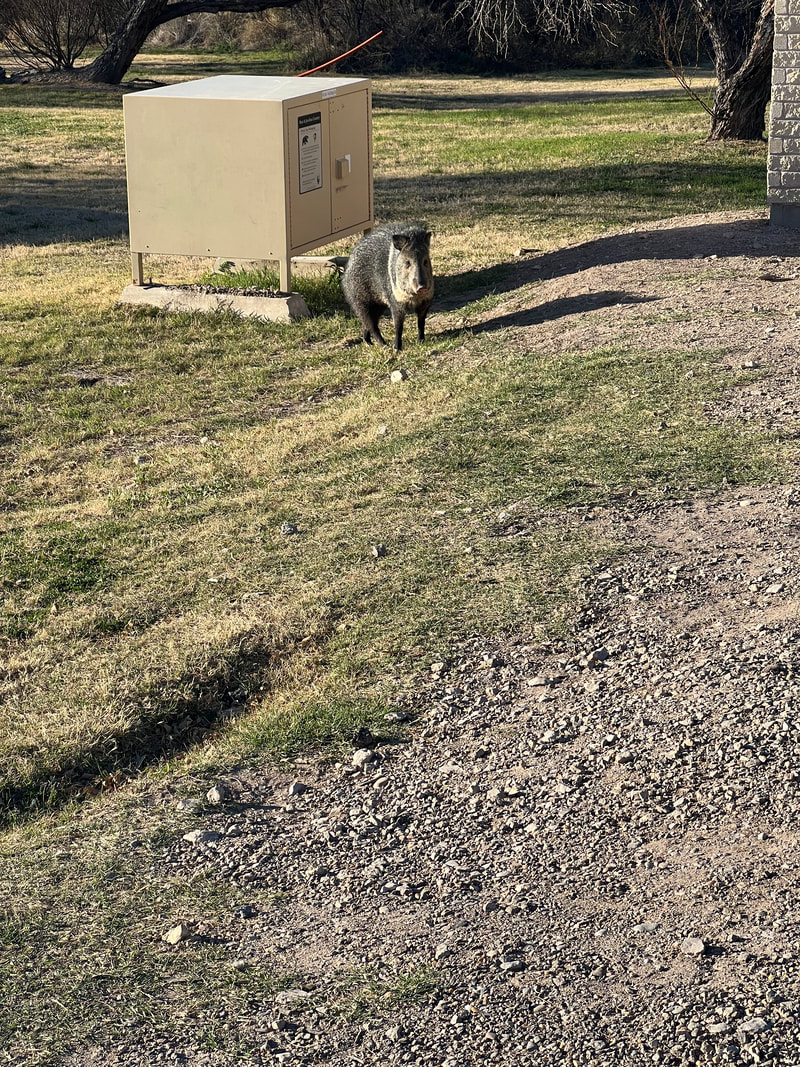
We left Seminole Canyon State Park on Thursday morning and drove to Big Bend National Park. We covered the remaining 80 miles of “no services” road through the desert, watching the changing landscape as the hills turned into mountains. We continued on to Marathon where we stopped for groceries. We had stocked up in Eagle Pass at an HEB before going to Seminole Canyon, and had expected that we would pass another grocery store along the way to Big Bend NP. When we reached Marathon, we were surprised to find that the grocery store was basically a camp store called The French Grocer, which had minimal selection for produce, and a lot of overpriced basics. We decided it would be better to suck it up and get things like overpriced frozen vegetables rather than driving further into Alpine and spending in fuel and extra mileage what we would have saved by shopping elsewhere. We continued south to the park through a lot of nothing but beautiful desert and mountains. The road from Marathon turns into the park road, and after checking into the park, we continued another forty miles or so to the Rio Grande Village Campground where we had managed to book one night, stopping at pull offs along the way to take photos. We pulled into the campground and found our spot. I took the dogs for a walk on the grass while Tom set up the camper, and the first thing I saw was a coyote just wandering through the campground. I yelled to Tom to come out with his camera, and one of the rangers heard me and moved to shoo the coyote out of the campground, but not before Tom got a few photos. I then continue to let the dogs wander through the grass, where I saw many kinds of poop. After settling the dogs in the camper, we went to find the camp hosts, whom we had met in New Orleans at Faubourg Brewery. I mentioned the coyote, and Nancy told me that the coyotes go through fairly frequently, as well as javelinas (which we know as collared peccaries), as well as horses and cows which cross into the campground from Mexico. That explained the wide variety of poop! The campground is right on the Rio Grande, so we took a wander on the trail that runs around the campground and went down to the river to touch the water and take another look at Mexico, which is much closer to Big Bend National Park than it is to Laredo since the Rio Grande isn’t quite so grand closer to the headwaters. The landscape surrounding the campground is stunning, so we spent more time taking photos than walking. We were surprised when we looked at a map and realized that the campground is on an oxbow in the river, so the majestic mountains surrounding it are all in Mexico. We spent a quiet night in the park and didn’t hear any planes, trains, or automobiles, other than the odd camper leaving super early the next day. Because we could only book one night, we had booked two more nights at the Big Bend Ranch State Park on the other side of the west entrance to the national park. Our plan was to take a drive down the Ross Maxwell Scenic Drive, with stops for a few short hikes. We only made it about eight miles down the scenic drive, however, because we stopped for a hike on the Upper Burro Mesa Pouroff trail which, despite being only about 3.5 miles, took us almost two hours by the time we climbed around a bunch of boulders in the wash and took a bunch of photos. We got back to the camper around 1PM, so we decided to get lunch and head to the state park, where we could sign into our campsite there after 2PM. This meant we didn’t drive the rest of the Scenic Drive, but we didn’t know what to expect with the state park camping situation and wanted to give ourselves plenty of time to get to the visitors’ center there before it closed so we could find our campsite and get settled well before dark. We ended up being very happy with this decision, since the Big Bend Ranch State Park camping situation is very different than anything else we’d encountered so far on our trip.
|
Meet the Moonracers
Tom and Marge are taking Moonracer Farm On The Road Again. Follow our journey to build an expedition vehicle and travel! Archives
January 2024
Categories |


