|
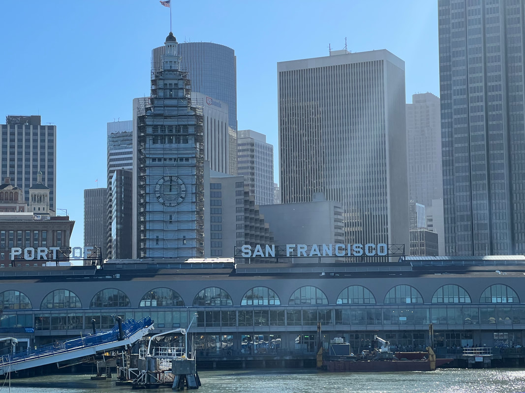
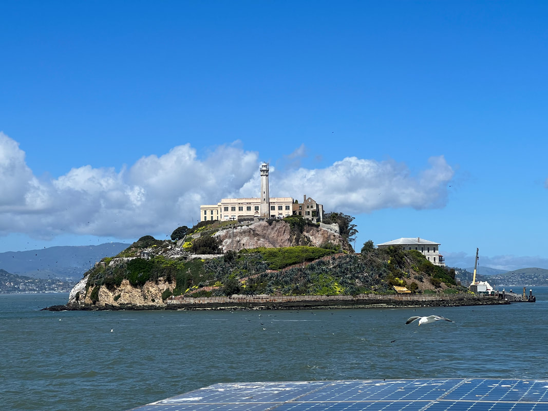
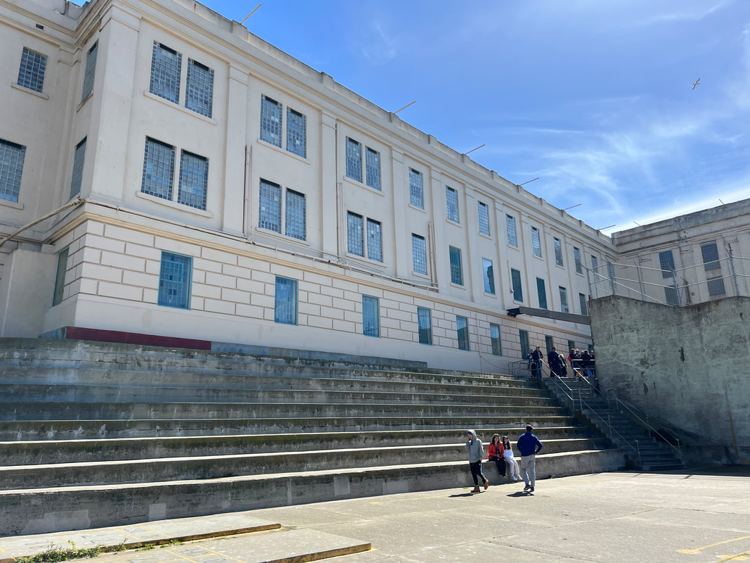
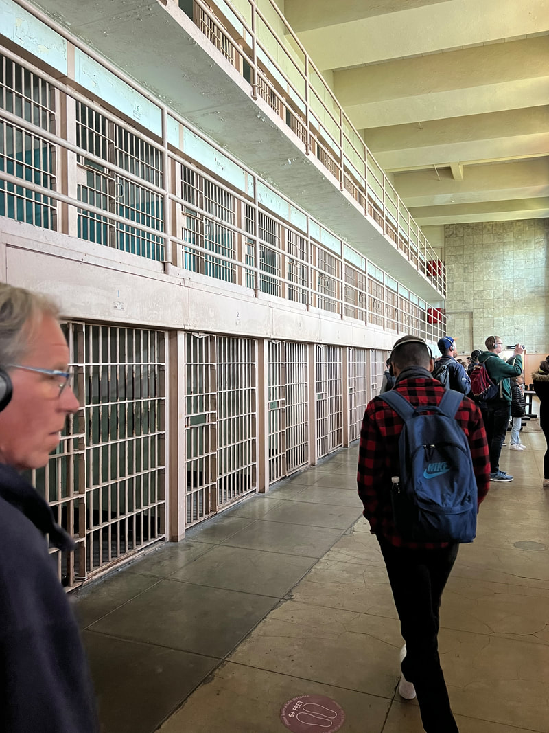
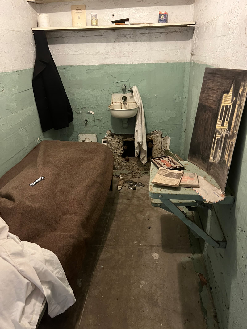
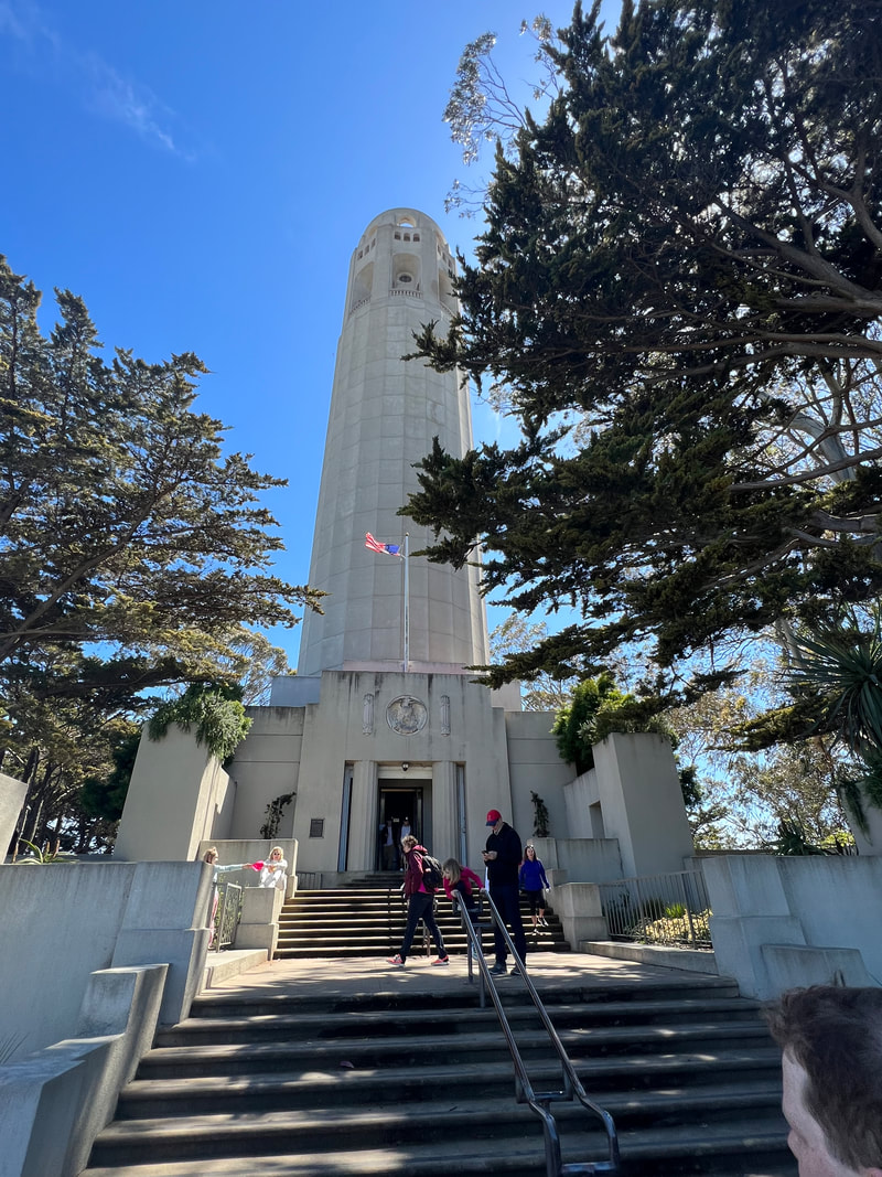
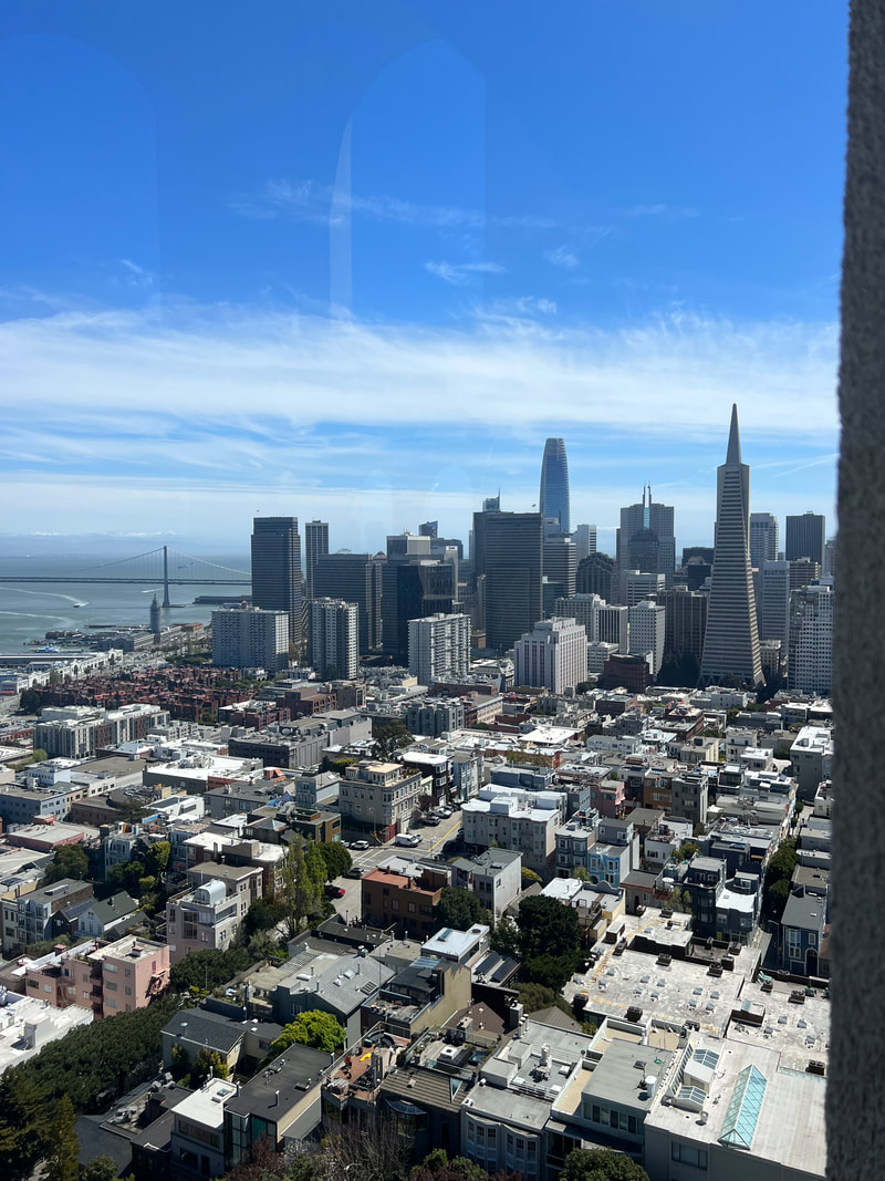
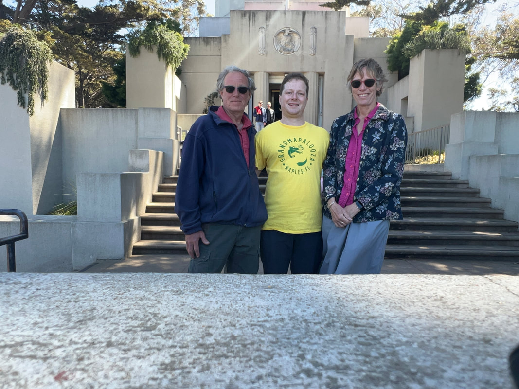
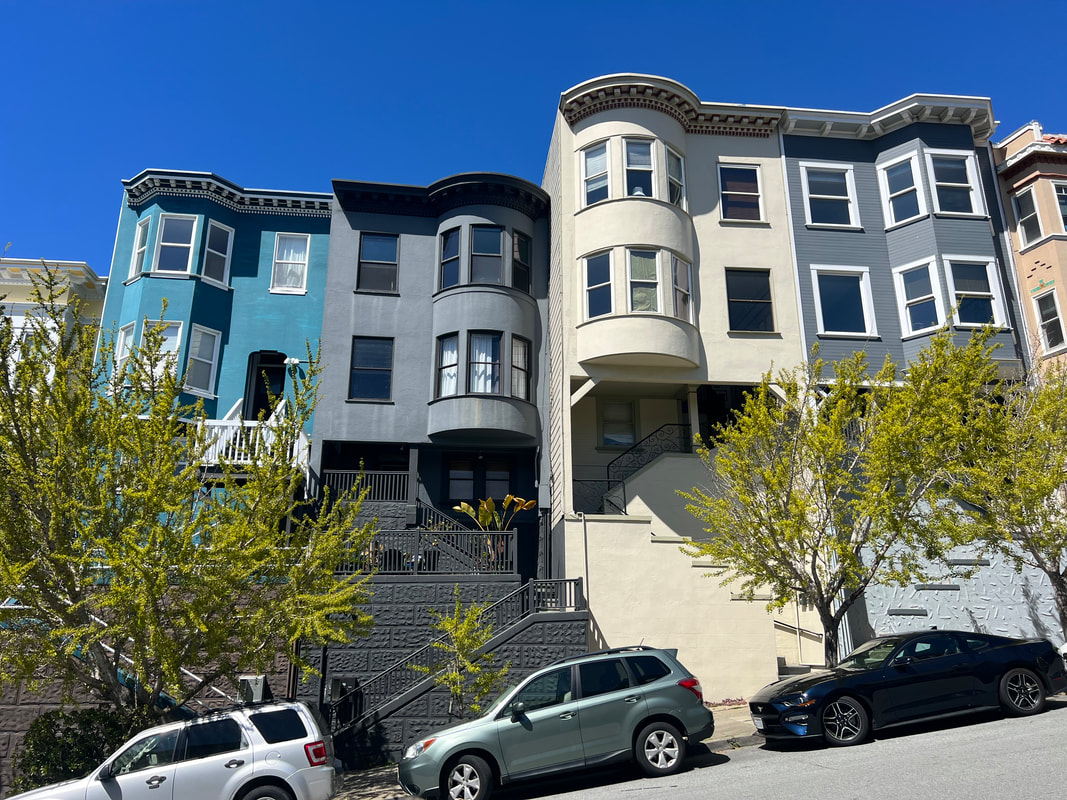
As you may have gathered from the previous post, if we hadn’t both really wanted to visit Alcatraz Island, we probably would have skipped the hassle of making an urban stop in San Francisco. However, Alcatraz entirely met our expectations, and we spent the day in San Francisco with Tom’s cousin Vincent (actually second cousin, but who’s counting?) and had a wonderful time. We also learned a few things, like how to put rapid transit cards on our phones so all we had to do was tap them at the gate to get on the ferry. We were quite proud of ourselves that we got to the ferry on time, effortlessly tapped our phones and got into the boarding area, and enjoyed a pleasant half hour ride taking in the scenery on our way to the San Francisco terminal. We arrived at the terminal around 8:30, and trotted ourselves down to Pier 33 to get the other ferry to Alcatraz Island. Of course we were early, but the early ferries don’t fill, so they put us on the earlier ferry and we arrived on Alcatraz Island before 10am.  In addition to the prison history, the island is also well known for its natural history. These cormorants come to the island for their breeding season every year, along with a number of other bird species. A park ranger volunteer had a spotting scope set up so you could see these cormorants displaying their blue throats in their courtship ritual. We left Alcatraz Island and went back to the mainland to meet Vincent for a guided walk around the city and lunch. While we waited, we went to Pier 39 to see the sea lions, but we only saw a lot of people. When Vincent arrived, we walked up the hill through the alley stairways to Coit Tower. The elevator was out of service that day, so we climbed an additional 14 flights to get to the top, but the views were well worth it. It helped that we had a city resident with us, because he told us what we were looking at from every window. Vincent was so good that at one point the docent came over to talk to him, and we, along with everyone standing around us, learned more about San Francisco and its history than we knew there was to learn. We left Coit Tower and wandered the hilly streets, looking at the architecture as it changed between neighborhoods. We walked through the Italian section of the city, passed China Town, and wandered in the business district where we walked in the elevated park created by SalesForce over the bus terminal. Somewhere in there we stopped for a delicious noodle lunch, although I think the restaurant was in the Italian section even though the food was more Asian. But whatever, it was delicious and the restaurant was quiet so we could talk, and talk, and talk. We ended the tour and headed back to the ferry terminal to catch the 5:15 ferry back to Larkspur. Although we’d both been anxious about visiting the city both because we’re not city people, and because of bad things we’d read about San Francisco in particular, we had a completely enjoyable day. We know we only saw the tourist sections of the city, but it was clean, quiet for a city, and not overly crowded. We contemplated adding a day to our RV park reservation and spending another day doing tourist things, but ultimately decided that we’d had enough city and would head for Sacramento in the morning to catch another state capitol.
0 Comments
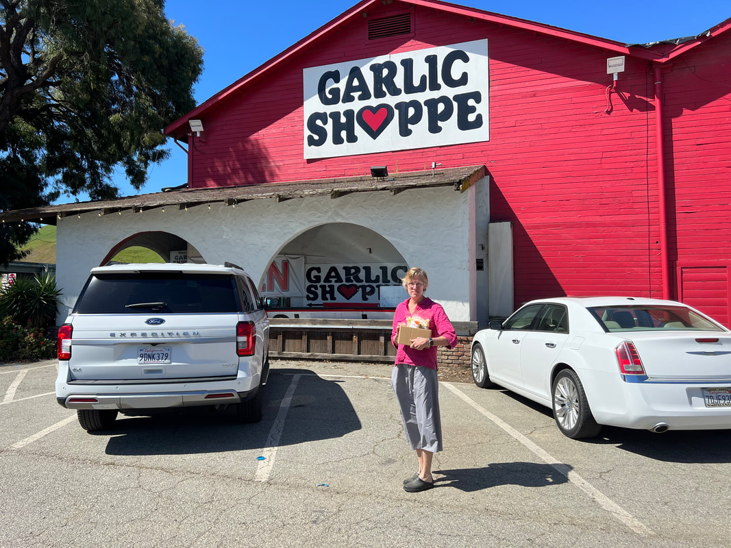
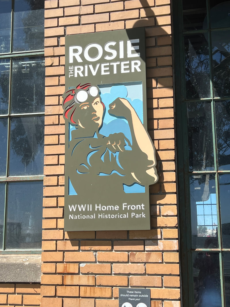
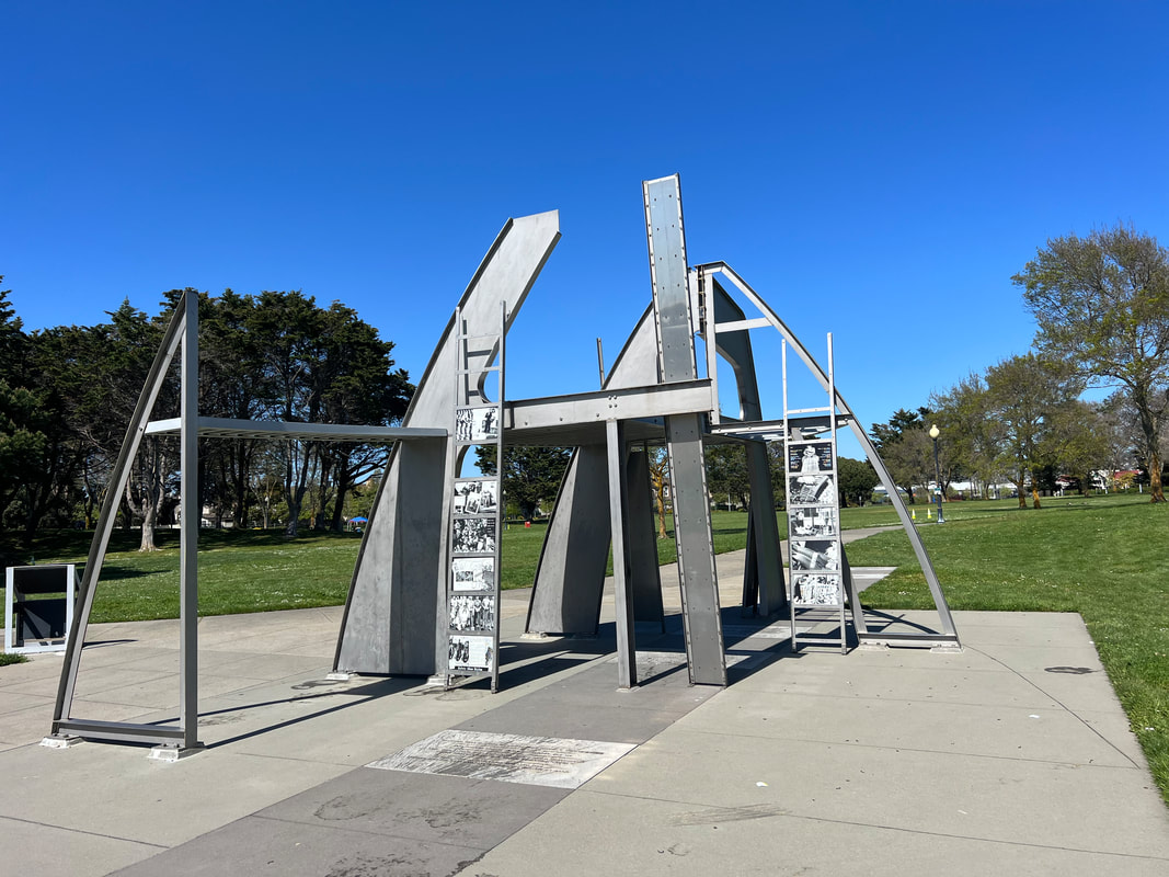
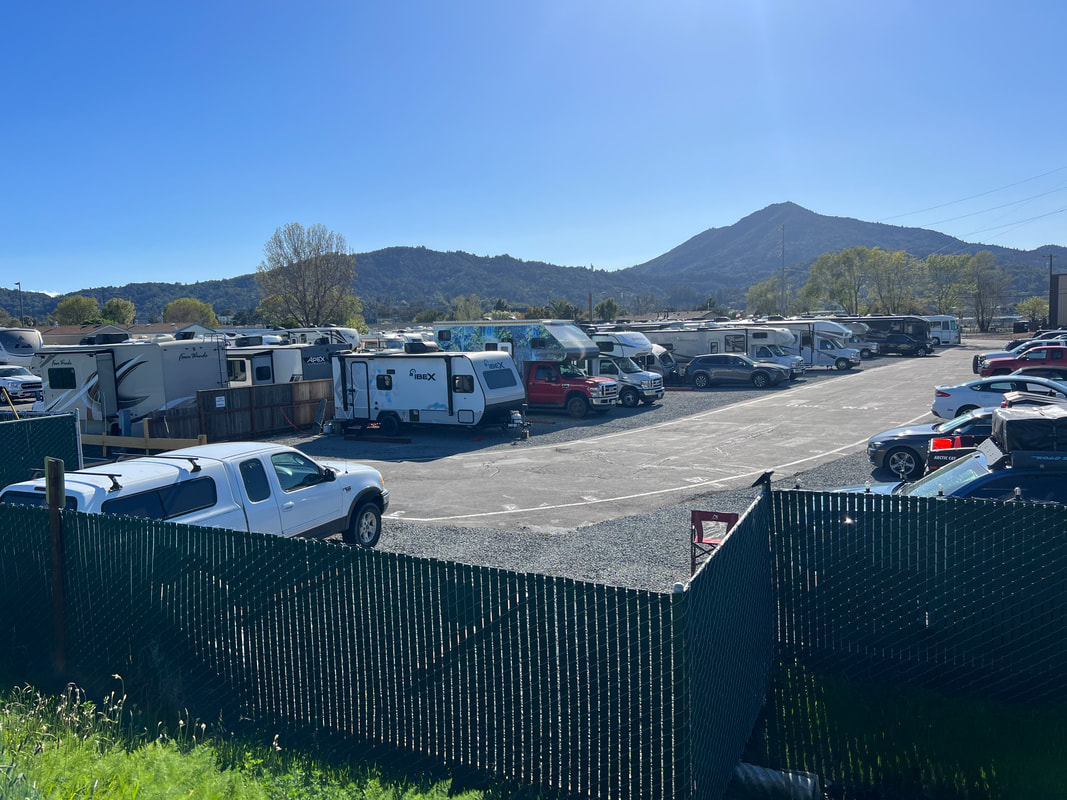
When we went to Williams Hill, we intended to stay until the Monday after Easter, when we had reservations at an RV park in Larkspur, near the ferry to San Francisco. However, we realized we were just killing time, so we decided to go back to the San Benito Fairgrounds on Sunday, and spend the $40 for water and sewer so we could catch up on laundry, and be about 2 hours closer to San Francisco on Monday. That plan worked perfectly, and we got the laundry all caught up and were on the road north before 9AM Monday morning. We made a stop in Gilroy, the garlic capital of the world, and stocked up on all things garlic, as well as a replacement bottle of Marie Sharp’s Smokin’ Marie hot sauce. From Gilroy, we drove through Oakland and into Richmond, where we visited the Rosie the Riveter National Historical Park. The park office is located where the World War II shipyards were located, and the National Historical Park is dedicated to all of the laborers who kept things going stateside when most of the men were shipped off to war. We didn’t plan to spend much time there, but it was more interesting than we expected, and is right next to the Bay Trail which we walked with the dogs to a sculpture park associated with the National Monument. We left the Historical Park later than expected, and rather than do any more sightseeing, we drove directly to the Marin RV Park. It was only about 8 miles away, but due to our lack of understanding of metropolitan traffic, it took us a couple of loops until we managed to get in the right lane to get off at the right exit while going the right way to get into the park. When Tom finally checked in, the woman in the office laughed because she said she had seen us driving by and wondered how long it was going to take us to figure it out. It wasn’t the best start to something we weren’t sure we wanted to do anyway, but we ended up liking the RV park far more than we expected, and were very glad we made the decision we did to stay there.
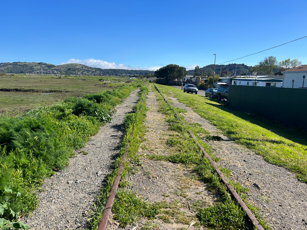
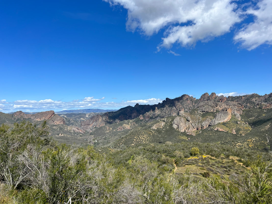
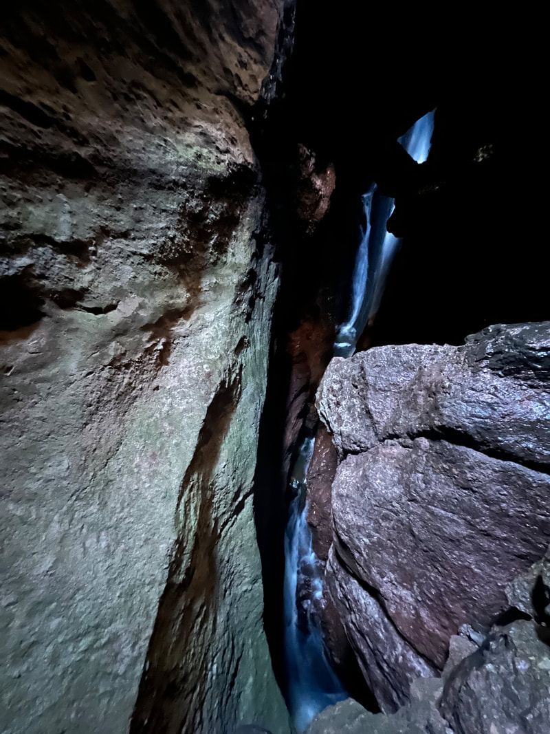
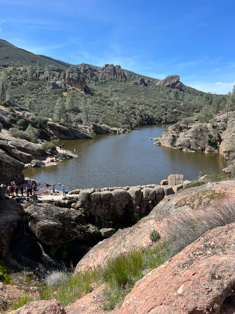
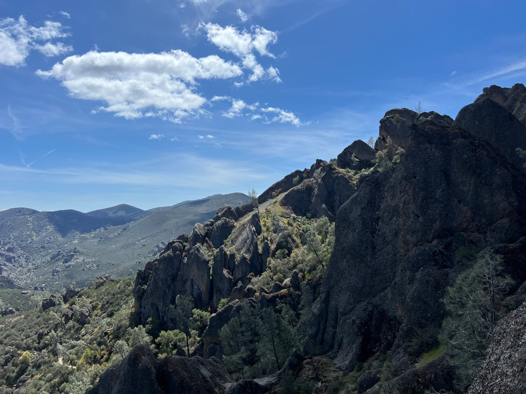
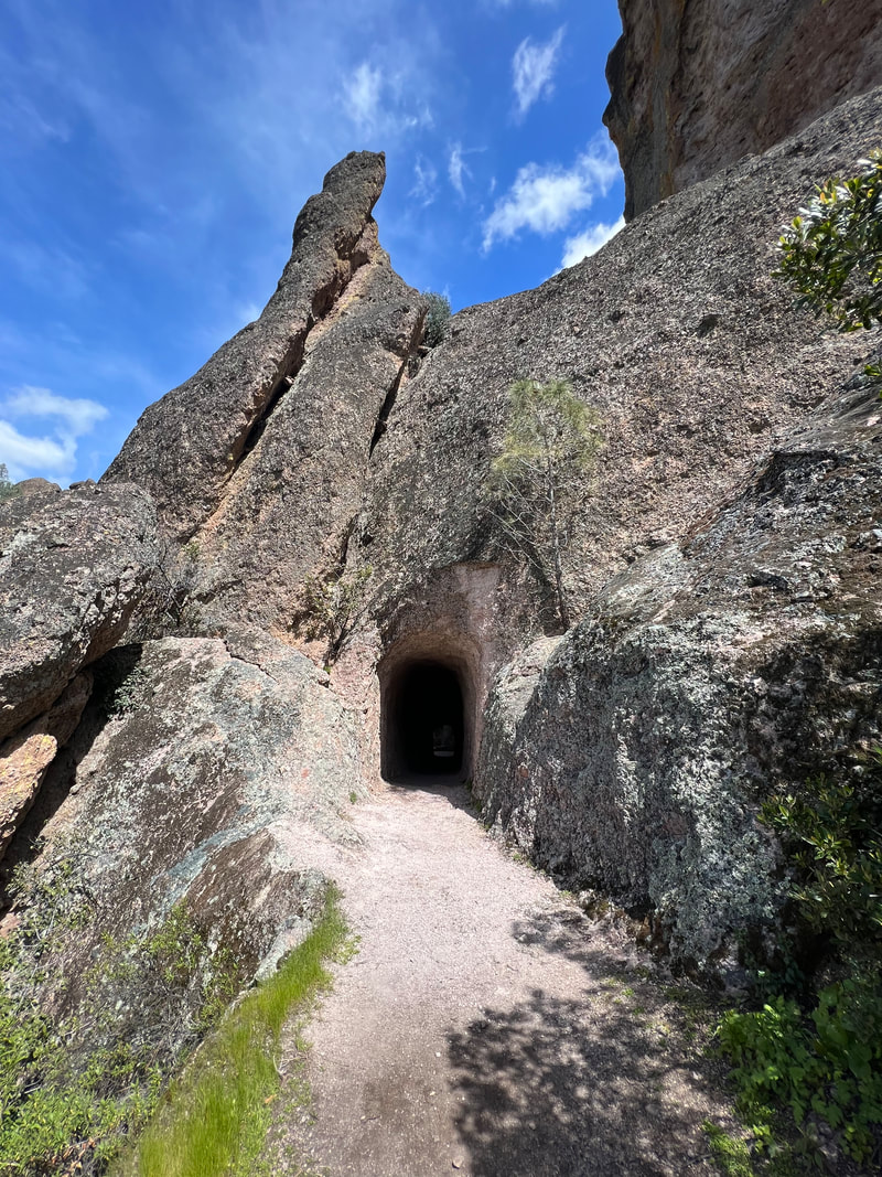
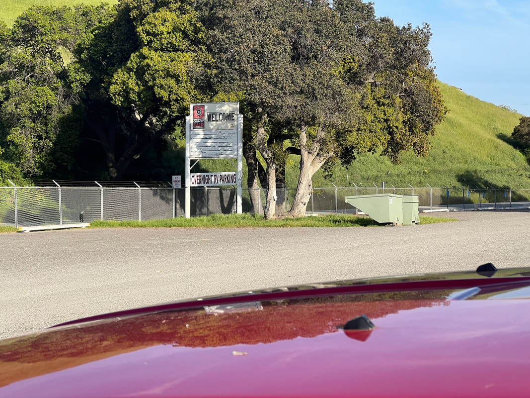
We couldn’t find any free to cheap camp grounds near the city, so we had looked at some of the state and county parks, but most of them weren’t super cheap and were an hour or more out of San Francisco. We had booked tickets for the ferry to Alcatraz, so we knew we had to get into the city and leave the dogs in the parked camper. We read horrible reviews about parking in the city where people had their windows broken and cars robbed, so in addition to being basically shit at driving in city traffic, we had a lot of anxiety about leaving the dogs in the camper while we were out touring, not to mention even finding a parking space for our oversized vehicle. So, we’d booked two nights at $100/night at Marin RV Park, with the justification that we’d probably pay at least half that for parking, plus the fuel and anxiety of driving in and out of the city and finding parking. Marin RV Park is just a 10 minute pleasant walk to the Larkspur ferry, which is only $8.50 each way per person, and the dogs could stay in the camper in the relatively secure RV park. And, the best part was that we didn’t hate it as much as we thought we would. The people were all pleasant and friendly, it was far quieter than we expected (despite two men yelling loudly at each other at 2am the second night because one had taken himself to the hospital and not woken the other), and it even had a nice area to walk the dogs on some abandoned railroad tracks right behind the park. It was perfect for the nights before and after our big day in San Francisco and Alcatraz. While we were at Williams Hill, we thoroughly researched Pinnacles National Park. We knew that the park has a west entrance and an east entrance, and to get from one to the other you have to drive around since no roads run through the park. We knew that you have to go through King City to get to either entrance, but the west entrance is slightly closer, although the campground, where we had booked one night, is near the east entrance. On Tuesday morning we left Williams Hill and stopped in King City to restock our groceries, then went to the west side since our plan was to head north the next day after camping in the park and we didn’t want to have to backtrack to see the west side of the park. All went as planned, except that the last four or five miles of the road accessing the Visitor Center on the west side of the park is a steep and windy single lane road. It’s just about wide enough for two pickup truck sized vehicles to pass, but it has neither a middle line nor shoulders. We had our fingers crossed for the entire ride that we wouldn’t meet anything as big as we are, and we didn’t, although we did pass a couple of normal sized passenger cars without incident. When we got to the gate, they informed us that they don’t recommend RVs to travel the road, and gave us the park brochure that said as much. Did I already say that we had thoroughly researched the park? Nothing on anything we found mentioned that larger vehicles weren’t recommended, and the signs at the civilized end of the road only stated that semis with more than 30’ between the king pin and the rear axle should avoid the road. Since our entire vehicle is less than 30’, we didn’t even worry about it and were therefore more than a little surprised. When we pulled into the parking lot we found that they do have two oversized vehicle parking spaces, and the other was already occupied by an RV larger than we are whose driver told us that he had also been surprised. Because we were already there, we decided to talk to the rangers in the Visitor Center and see what we could see on that side of the park. We ended up going on a short hike to get a good view of the high peaks of the Pinnacles because the ranger told us that the parking lots near the trail heads for the trails on that side of the park wouldn’t accommodate our vehicle, even if we chose to drive another mile or two down the one-lane road. After our short hike, we got back in the truck and found out that while the campground was only 4.5 miles away as the crow flies, it was 55 miles and about 1.75 hours away by roads, going back through King City. We took a deep breath and went back out the single lane road, where we met another RV coming into the park, but fortunately at a spot where the road was wide enough for each of us to hug the edge and pass. We reached the campground around 5pm, and found it crawling with people and screaming children. It’s laid out with distinct campsites around a few loop roads, but the campsites are very close together and not very big, and we could clearly hear our neighbors’ conversations when we were outside the camper, even over the screaming children. We took the dogs for a walk around the campground, had dinner, and went to bed, not very impressed with this National Park. The next morning, we planned to do a few camper chores requiring water and dumpsters before parking in the open lot for the day so we could hike the west side of the park. We found a spigot with threading so we could fill our freshwater tank, got rid of the garbage we’d been collecting, and parked in the wide open lot behind the camp headquarters. The trailhead for the trails we wanted to hike was about 2.5 miles from the campground, so we took the scooter off the back of the camper and used that to get to the Bear Gulch trailhead. We were glad we hadn’t tried to drive the truck there, since all of the parking was filled with RVs, which barely fit, and I believe that if we had decided to drive the truck, we probably would have abandoned the idea of hiking in the park. That would have been a big mistake, because once we started on the hike, we found that it is one of the nicest National Parks hikes we’ve taken.  We made our way back to the Bear Gulch trailhead on the Condor Gulch trail. I don’t think we saw any condors, although we did see large black birds soaring which I suspect were just regular old vultures. The entire loop was about 6.5 miles, and it was a great hike because we saw so many different things, and while we knew we were getting good exercise, we never felt overfaced with technical rock climbing or dangerous footing. After the hike, we scootered back to the truck, packed up, and headed for the Hollister Hills SVRA (State Vehicle Recreation Area), another government run OHV park with free (after you get a permit) campgrounds. We were within a couple of miles of the park entrance when we were stopped by a road construction crew, directly in front of a large sign stating that the park was closed. Tom got out and talked to the flag man, who informed Tom that the roads had washed out in the recent floods, and the gates were closed because the park is entirely inaccessible, with no known date for reopening. We had noticed that the San Benito County Fairgrounds which we had passed about 15 miles back had an “Overnight RV Parking” sign out front, so we retraced our steps and stopped there. We got there just after the office manager had left for the day, but another RVer parked there told us to just park, and talk to them in the morning. Hookups were available, but we didn’t use them since we had left the National Park campground with the intention to boondock until after Easter weekend. In the morning, we waited for the office manager, who told us that parking was free without hookups and wished us well on our travels. While at the fairgrounds, we looked for someplace to go between where we were and Oakland/San Francisco. We couldn’t find any government land that allowed camping, and all of the state and county parks were booked for the holiday weekend. We could have stayed at an RV park, but those are really pricy and we don’t really like them because they are so crowded. We also could have stayed at the fairground, but that was just a parking lot on a main road with lots of loud traffic. So, we made the decision to head back to Williams Hill and sit tight for the weekend, and head for Oakland and San Francisco on Monday. Site 7, which was the site at the end where we had been previously had campers in it, so we pulled into one of the sunset sites, which I really like. We wordled with a view last night, and used the very good cell reception to make reservations at one of the expensive RV parks near San Francisco so we can spend two nights there and take the ferry into San Francisco on Tuesday.
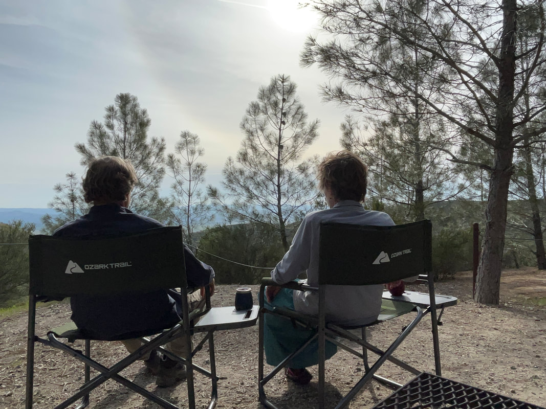
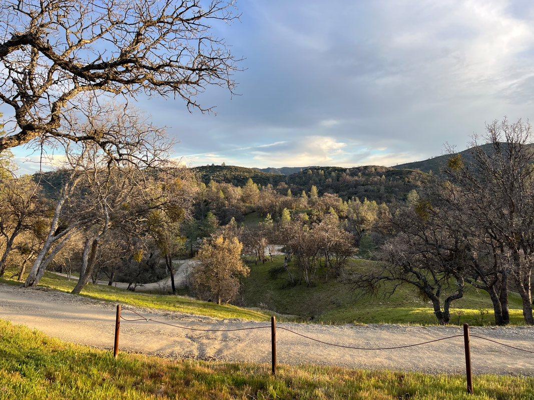
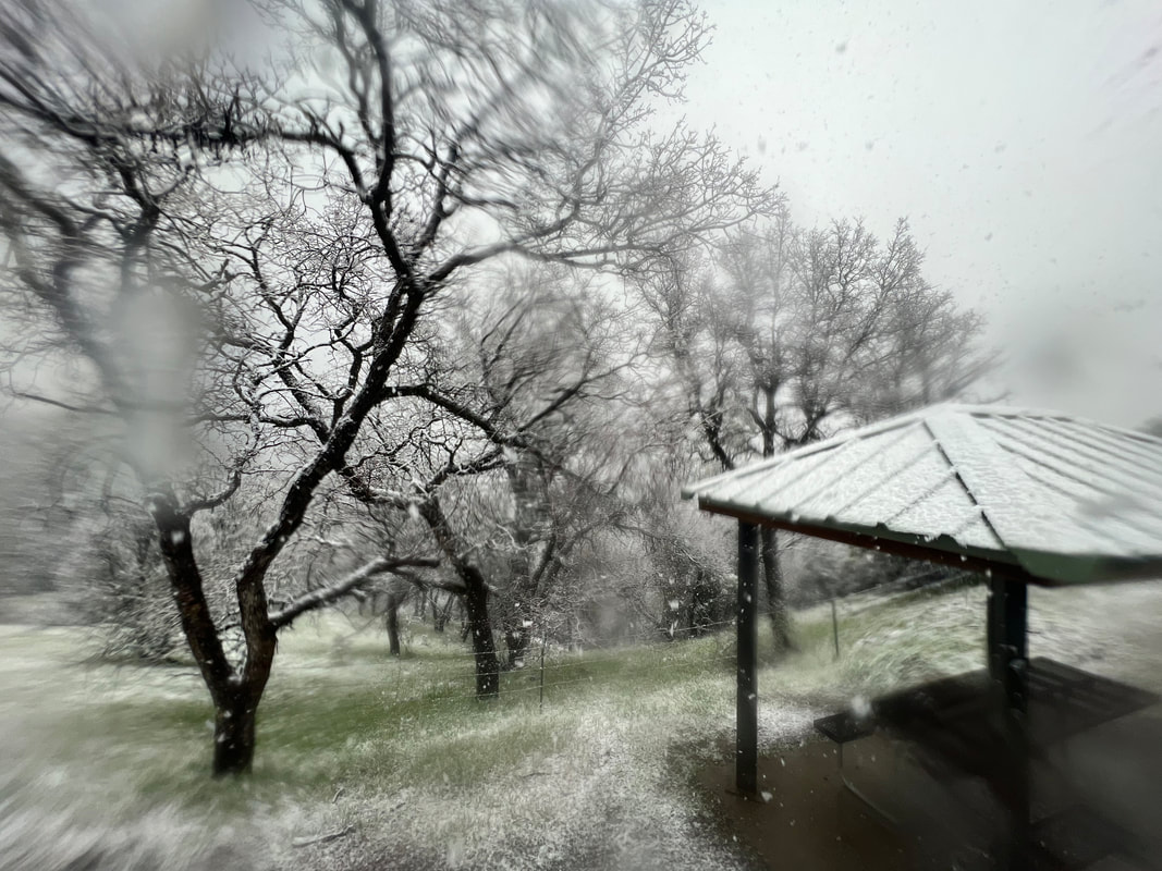
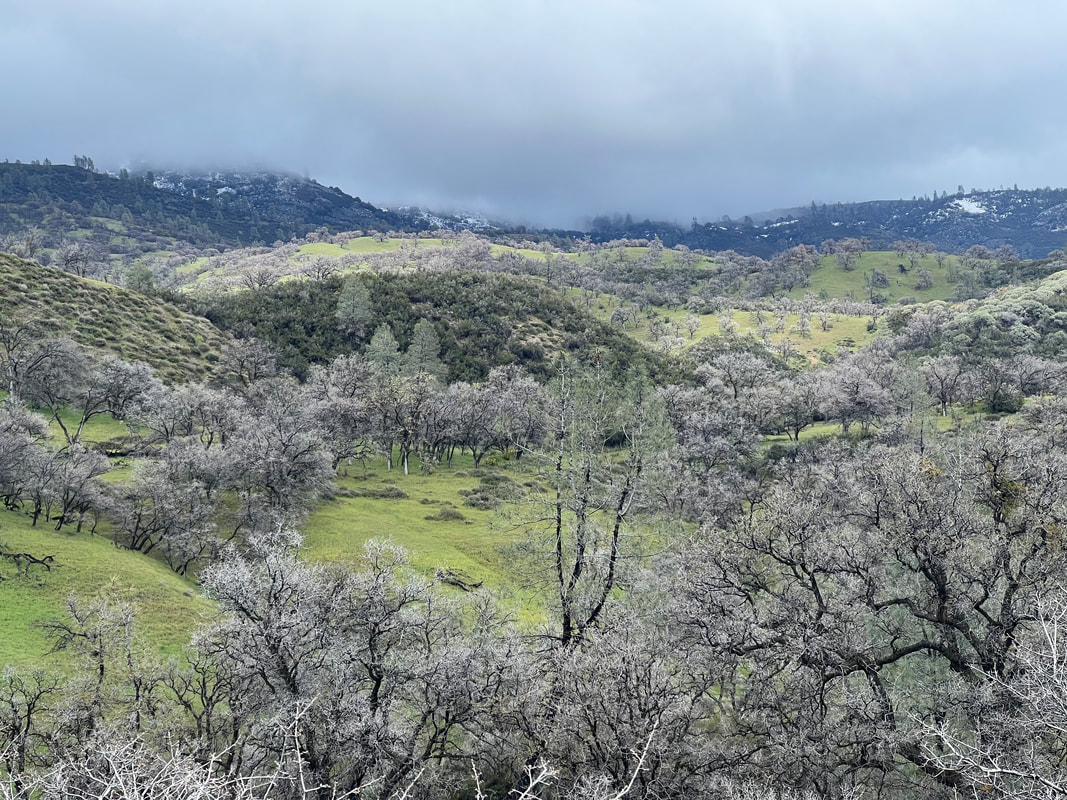
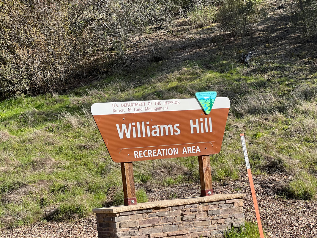
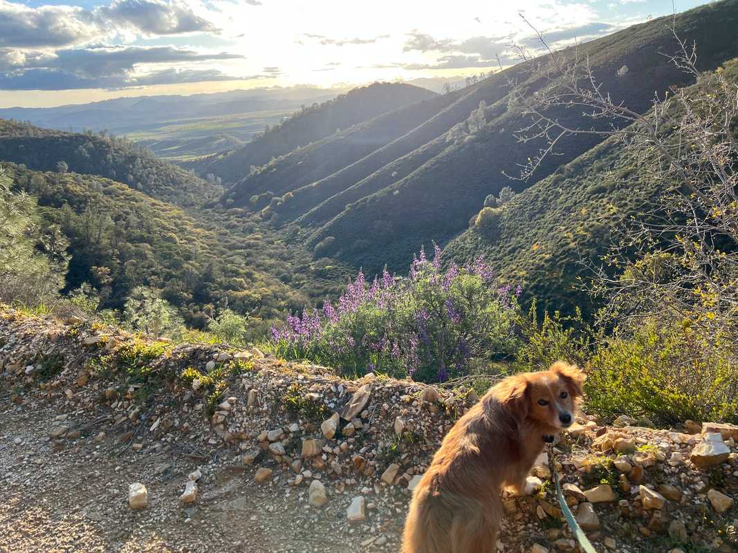
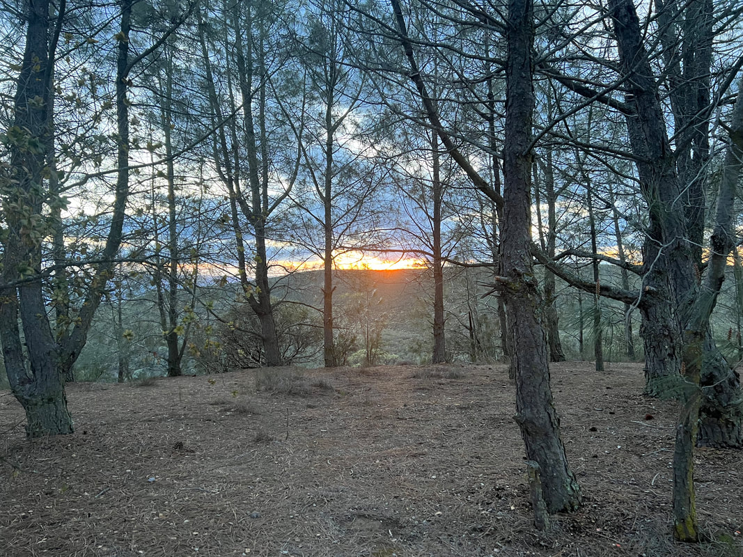
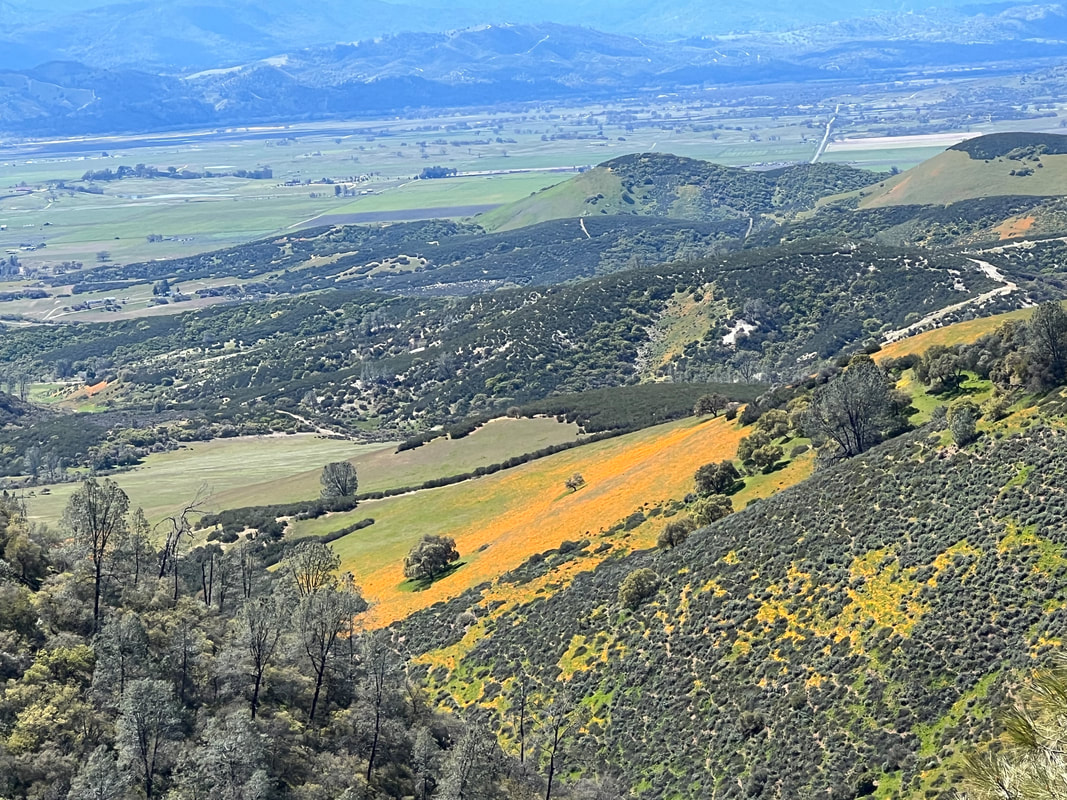
The Condon Peak “campground” consists of six spacious sites with covered picnic tables, and is free after you get a $5 permit which is good for a week. We actually only had to pay $2.50 because the permits are half price for National Parks pass holders, but we figured we’d be generous and pay the whole $5 anyway. The campground is only about 35 miles from Pinnacles National Park, but most of those 35 miles are on a road that was washed out by the recent floods. We came in from the Coalinga direction, and while the road was under repair in a few places, it was paved and easily passable for our rig. When we got to the campground entrance, a “Road Closed” sign was set on the shoulder discouraging further travel towards Pinnacles, but since there had been periodic signs about road closures on the 22 miles from civilization to the campground, we decided to investigate that later. One other overlander vehicle was already at the campground when we arrived, but since it was late in the day we just took the dogs for a quick walk and got the camper set up. In the morning, they were out of their camper, so Tom asked if they knew anything about road conditions towards Pinnacles. They were also wondering about the road, so Tom decided he’d take his motorbike and investigate. Tom and Austin started talking about it, and Tom invited Austin to ride my scooter, which was a huge win-win as far as I was concerned since Tom wouldn’t be going alone, and I wouldn’t have to go in the chilly weather, which was breezy with temperatures in the 40s. On their ride, they discovered that the road might be passible, if you don’t mind driving through a 2-foot flood about 30 feet wide. It started raining after the guys returned, and continued to rain - and snow! - off and on overnight and then into the morning, so we decided to go back the way we came and take the longer but more traveled route to Pinnacles when we left the campground. We spent another day at Condon Peak catching up on computer work, blogging, and reading, and mostly staying warm in the camper with the Buddy heater running while we waited for the rain and snow to let up so we could get out for a walk and enjoy the scenery. We took off the next morning with the plan to head to Pinnacles with a stop in Coalinga for propane. Heading down the mountain from Condon Peak, we found that two days of rain had raised the creek levels, but the road was clear. Our first stop was an Ace Hardware, but we found that they didn’t have propane, and they directed us to a U-Haul place a few blocks away. Their propane tank was clearly placed at the edge of the street, so we pulled over and took the scooter off the back so Tom could get the tanks out for the shop owner to fill. We’re getting good at that, so it didn’t take long, and as we stood on the street chatting with the shop owner, we heard a loud hissing. Tom’s first thought was that the air bags on the suspension system were malfunctioning and deflating for some reason, so he ran around to the side to check that. As he was doing that, he realized that the hissing was coming from the inside dually. When we were in Huntington Beach, he had installed valve stem extensions so he didn’t have to take the outside tire off to do anything with the inside dually, and he realized that the air was leaking through a broken valve stem and the inside dually was flat. So, he jacked up the truck, took the tire off, and went for a “test drive” in a U-Haul with the shop owner to a tire shop just down the alley. They installed a new valve stem and pumped up the tire, and Tom came back and put it on the truck. As he was doing that, it occurred to him that if one of the tires with the new valve stems had this problem, the other probably did as well. So, after settling with the U-Haul guy for the propane, we drove the truck to the tire shop, where they removed the other inside dually and found that all the air had already leaked out of that tire. This was scary because our rig is heavy, with 10,000 pounds rear axle weight. Each tire is rated for 2,910 pounds, which means that with the four tires, we’re good for 11,640 pounds, which is more than the rear axle weight. But, when two of those tires are flat, the two remaining tires are only good for 5,820 pounds. That means we drove through Death Valley and drove twice through the mountain passes on severely stressed tires. We’re very lucky that we didn’t have a blowout on those roads, which is super scary because itty-bitty guardrails are all that keep you from going over a cliff. We’re also lucky that the hissing tire decided to hiss while we were standing in the street chatting, because otherwise we wouldn’t have known that the inside tires were flat. Tom does a pressure check once in a while, but not every time we drive, and since he’d done a pressure check when he installed the new valve stems in Huntington Beach, he hadn’t done it in Death Valley. Pressure checking all six tires has now been added to the visual walk-around we do every time we move. With multiple hours spent diagnosing and fixing the tire problem, we abandoned plans to get to Pinnacles National Park. The guys at the tire shop kindly let us fill our water tanks, so with full propane tanks, full water tanks, and a little extra produce in the fridge, we looked for another free dry camping spot. All my apps recommended Williams Hill Recreation Area, which is about mid-way between Paso Robles and Pinnacles National Park. It’s closer to the coast than Condon Peak, and about 1000 feet lower in elevation, so we figured we might expect a few days without snow. Most of the reviews said the road in and out was a little rough, but a number of reviewers said they made it with rigs that were bigger than ours, not 4WD, and often towing trailers or cars, so we figured it was worth a try. The road is in fact a little rough, and is just a bulldozer track carved around the mountain, but it is well traveled, well maintained, and has enough wide spots that if two big rigs met, one or the other would be able to reverse to a wide spot without too much trauma. We didn’t meet anyone on the way up, and our truck had no trouble with the few minor washouts we encountered, and when we got to the top we were delighted to find a beautiful campground at the top of a hill, overlooking valleys on either side. Williams Hill is built much like Condon Peak, with 7 campsites, each with a picnic table pavilion and fire ring. Four of the sites overlook the valley on the sunset side, and two larger spots are at the end of the campground road and off to the side overlooking the valley on the sunrise side. We initially pulled into one of the sunset view sites, but the neighboring site already had a camper with a dog, so we ended up moving to the larger site at the end of the road to avoid excessive barking. Shortly after we moved, a car with tent campers pulled in, and they were delighted to take the sunset view site. We took the dogs for a walk on the roads that wind around the mountains, and by the time we got back to the campground to make dinner, only one of the seven sites was still available. Apparently lots of people know how nice this campground is, since it was 6/7ths full on a Thursday night in the winter. As expected, the campground filled to overflowing on Friday night. Somebody pulled in next to us around 10:30pm, but apparently decided against it. Nobody was near us in the morning, but when Tom took the dogs out he said that all the overflow sites had at least three vehicles parked. The other thing the reviews had warned about is that there is a lot of shooting, which we weren’t sure whether or not to believe since we didn’t hear any shots on Thursday. However, we walked past some sites where we saw lots and lots of shells and shot up targets, so we knew the warnings were real. Sure enough, the pop-pop-popping started Friday afternoon, and picked up again in the morning. We’re planning to stay here over the weekend, so we’ll see what happens. |
Meet the Moonracers
Tom and Marge are taking Moonracer Farm On The Road Again. Follow our journey to build an expedition vehicle and travel! Archives
January 2024
Categories |
