|
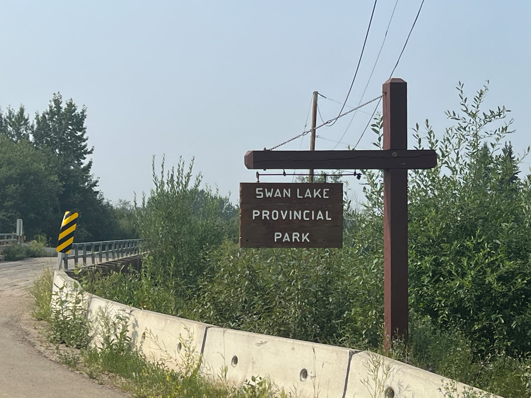
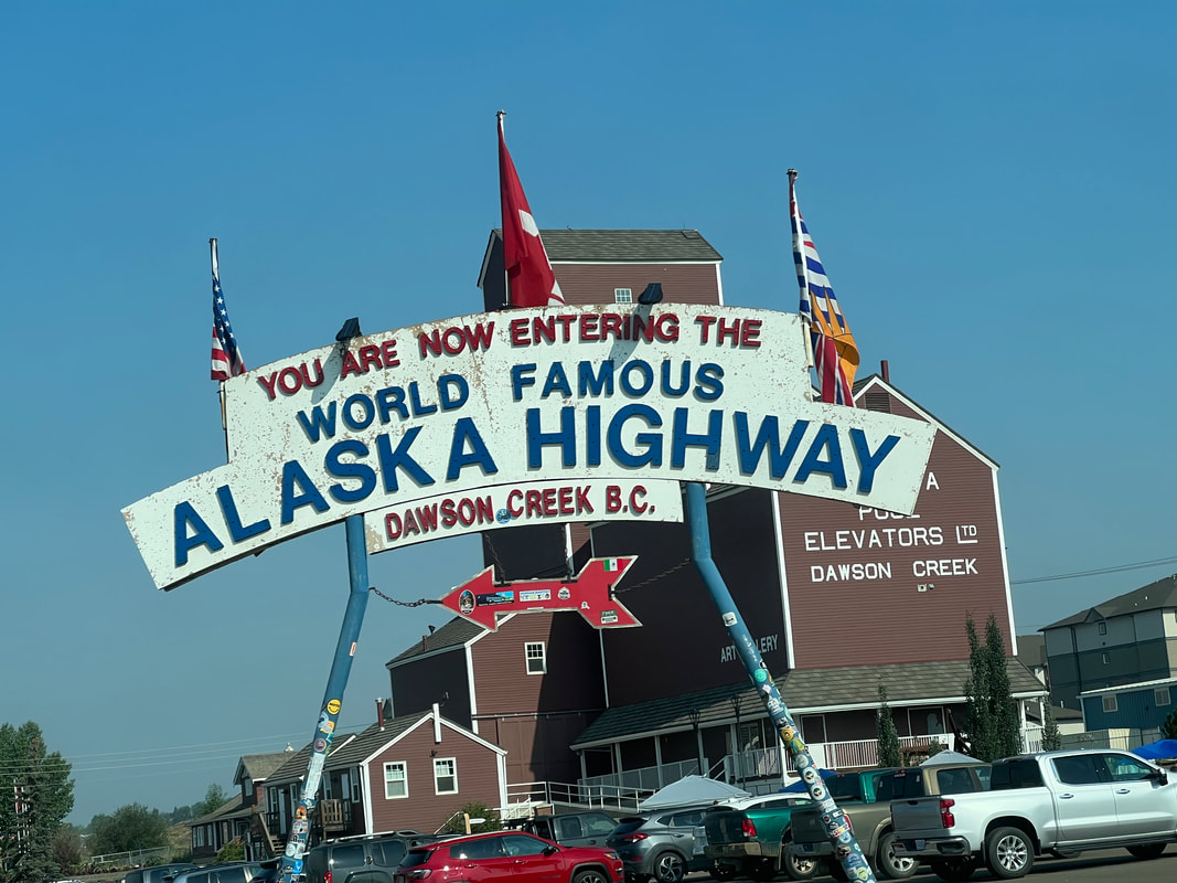
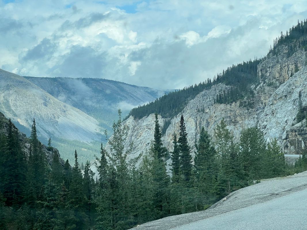
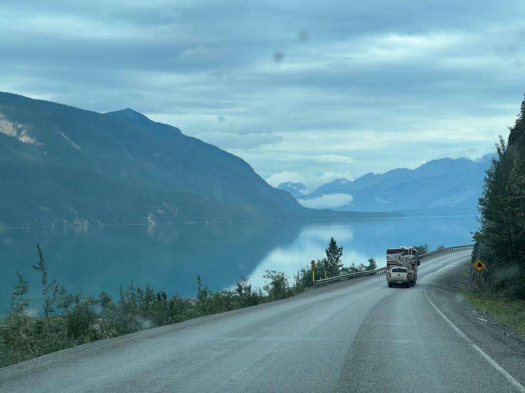
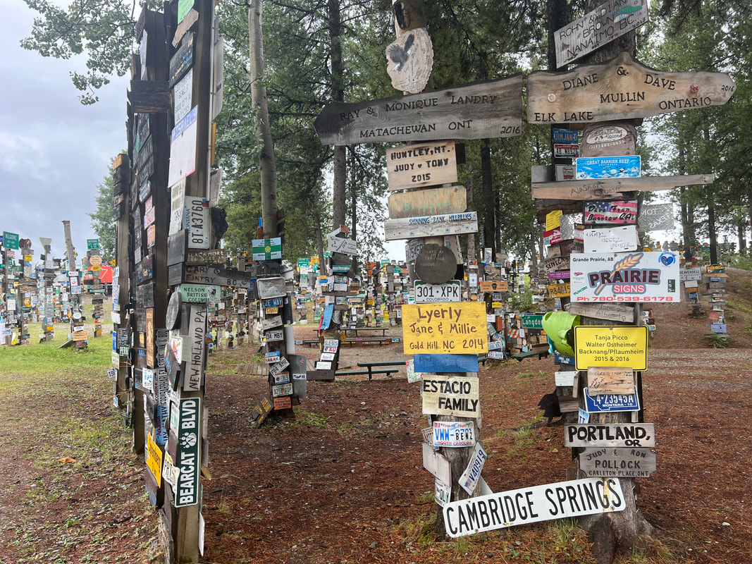
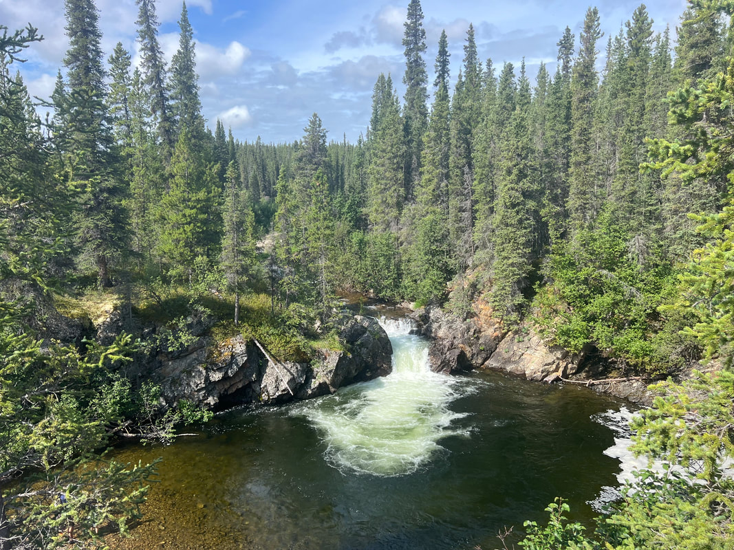
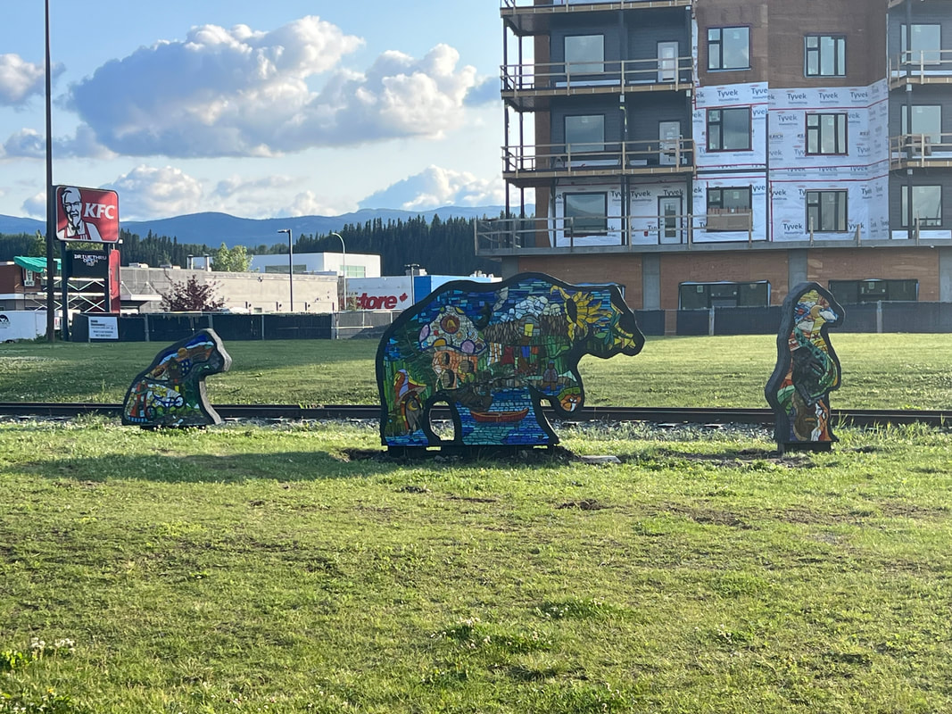
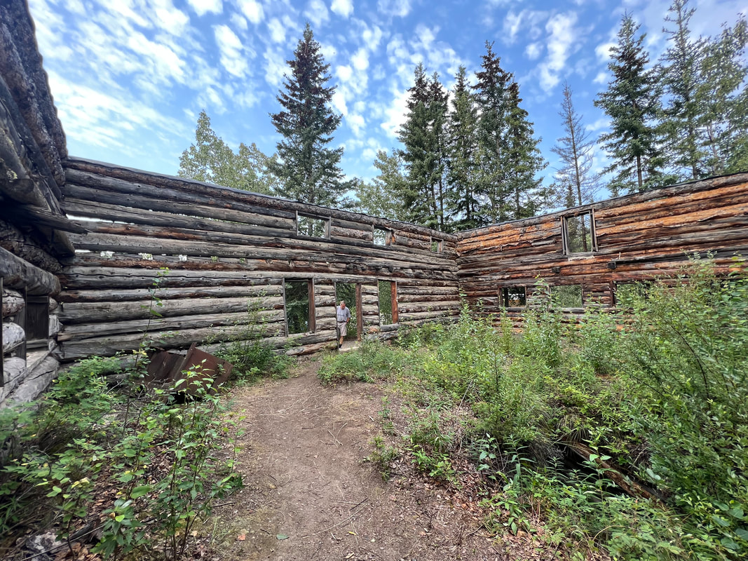
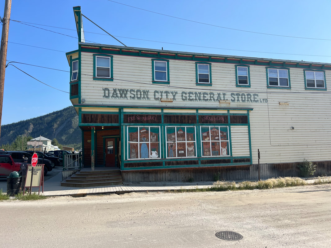
We left Jasper with the goal of Dawson City within five days, which would involve close to 300 miles of driving a day. The first day, we drove over 300 miles towards Whitehorse from Jasper and made it just over the border into British Columbia. Swan Lake Provincial Park, a little park on a lake, had some short hiking trails so we took a walk, although we were both coughing and sneezing with itchy eyes and throats from the smoke. We hoped to get another 300 miles towards Whitehorse the next day, with Whitehorse being a total of about 900 more miles. Our biggest concern was having adjust our route and timing due to fires. The next day, we drove another 300+ miles to Beaver Lake Campground just past Ft. Nelson. This was a small free campground just off the Alaska Highway, which we entered in Dawson Creek. We saw signs of fairly recent fire, including signs at the entrance to the campground road advising against through travel due to fire, but although it was very smoky, we didn’t see any fire. We set the next day’s goal as Watson Lake. The next day’s drive was probably our most stunning day of driving so far in our trip with beautiful views and many exciting wildlife sightings, all just along the Alaska Highway, not in a park. The count for wildlife for the day on the Alaska highway between Fort Nelson and Watson Lake was a bunch of bighorn sheep, a couple of bunches of bison, a mama black bear and three cubs, and two Caribou. We also saw a spruce quail at the campground before we left. We parked with a bunch of other overlanders in public parking near the Sign Forest, which we walked through quickly because it was raining, but which could be worth a day of wandering to see who posted signs from places we know. The welcome center people were super helpful and not only discretely told us where we could park, but also gave good advice for the trek to the Arctic. Watson Lake didn’t have much, not even a decent grocery store, but since we were heading for Whitehorse the next day, we knew we would be able to get outfitted for the Dempster Highway there. In the morning, we took a quick walk around Watson Lake and got on the road. We stopped to see waterfalls at Ranchería Falls Recreation Site, which were very pretty. That day’s drive was faster but not as interesting as the day before, but got us into Whitehorse in time to get ourselves outfitted to head north - fuel, propane, water, and food. We spent the night in the Real Canada Superstore parking lot so we could head out early the next morning after a walk along the river. The river walk was great, and we got to see a lot of Whitehorse, which is an interesting city. It has everything you need, plus a lot of culture and history. We got on the road around 11 to head to Dawson City. We made the long drive from Whitehorse to Dawson City, which was over 300 miles. The scenery was beautiful but not as awe inspiring, and we had to drive on a lot of washboard dirt roads through construction zones. We figured it was good practice for the Dempster Hwy! We stopped at an old stage stop ruin for lunch, which we found interesting especially since it was a historical site that also served as a rest area. We pulled into Bonanza RV park before Dawson City so we could get our laundry done before getting on the Dempster Highway the next day, after checking out Dawson.
0 Comments
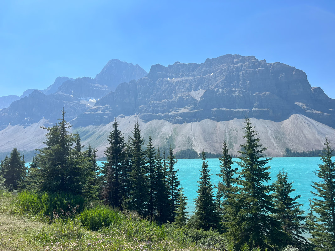
After marveling at how the river running along the highway changed from running west to running east as we crossed the Continental Divide and entered Alberta once again, we headed towards Lake Louise, just to see it. We should have known better. We sat in traffic, stopped multiple times to wait for waddlers to meander across the streets as they gawked at the mountains, totally oblivious to cars and buses and RVs, and ultimately found a place to turn around so we could get the hell out of there. We got on the Icefields Parkway, which is an impressively scenic road that runs through Banff and into Jasper. Banff is incredibly beautiful, with towering mountains, shining glaciers, and unbelievably blue glacial lakes, And, once you’re out of the Banff village and Lake Louise areas, the density of people dwindles dramatically. Traffic on the Icefields Parkway doesn’t move too fast, because everybody is taking in the scenery, and every few miles you find a pullout for a spectacular view or a trailhead. We stopped at the Bow Lake trailhead where we had lunch with a view, and then hiked part of the Bow Lake trail around the lake. We didn’t go all the way to the waterfall because we didn’t feel like we were up to another steep climb after the Hoodoos and the Avalanche Hikes the previous two days, but we got plenty of great views as we walked around the lake. After our hike, we continued north towards Jasper. On our map, we had found a FCFS RV campground near the entrance to the park which said it had 100 sites. We were glad we’d made this our destination rather than one of the smaller campgrounds slightly closer to the park Banff/Jasper border, because while this campground really is just a paved parking lot, it’s a paved parking lot which is the front row for the view of the Columbia Icefields. After seeing a few glaciers in the US Glacier NP, and a few more larger glaciers in the Canadian Glacier NP, we were completely unprepared for the massive Columbia Icefields which is right there, next to the road. It is receding dramatically year by year, but we still found ourselves standing in front of our truck and staring at it with our mouths open. We resisted the urge to immediately walk to it, mostly because Tom had the good sense to realize that even though it is so big it looked like we could reach out and touch it, it was actually about a mile and a half away, which I realized when I considered that the small dots we could see crawling up it were actually gigantic trac buses hauling loads of tourists onto the icefield. We talked to some other campers, and then had dinner and settled in for the night. In the morning, we walked to the glacier, which was as far away as Tom had estimated. The walk was somewhat sad, because signs along the way show where the glacier was every five years or so, and the amount it has receded is frighteningly impressive. Nonetheless, it is enormous, and seeing what it has done to the earth beneath it as it has receded is a big reminder of the power of nature. We also found that this glacier is the source for the headwaters of the Athabasca River, which runs to the Mackenzie River, which we would eventually follow to the Arctic Ocean. We left the Columbia Icefield with the intention of stopping for a walk at Mount Edith Cavell, but discovered that the road to Mount Edith Cavell doesn’t allow vehicles over 21’. So, we continued on to Jasper, where we did a bit of shopping. We had noticed as we approached Jasper that most of the campgrounds were full, so we were relieved to find another parking lot campground with plenty of room between the town of Jasper and the park boundary. This campground was listed as having over 200 places, and it was in a very picturesque spot on the river between the mountains. We decided that it was probably a better option than any of the full campgrounds since with all that space, it was easy to find a spot away from other campers even though the sites would have been close together, had they all been filled. We spent one last quiet night in Jasper NP before starting the drive north to the Yukon, where we planned to pick up the Dempster Highway and head for the Arctic Ocean.
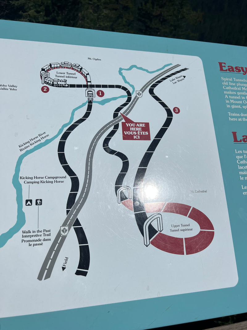
Yoho National Park is another small park in the cluster of parks dominated by Banff and Jasper, but to us, it definitely has the most bang for the buck. After leaving Glacier, we stopped in Golden for groceries, so we didn’t hit the southwest park border until midafternoon. We knew that another FCFS campground was only a few miles into the park, and that the Hoodoo Creek campground had a nearby trailhead, so we decided we’d driven enough for the day. The campground was a little odd, in that it was just a gravel lot with campsites marked by poles and picnic tables. A couple of the sites had evidence of already being occupied, but we had no trouble finding a flat spot to park. We had lunch, and then went looking for the trailhead, not really expecting much after the decidedly unimpressive campground. We were wrong, and the trail turned out to be the perfect hike for an afternoon. It was about five miles round trip, up and around the mountain to a spot with some pretty impressive hoodoos. The main trail took us to the top so we could look down on them, and then a shorter shoot of the trail took us down to the riverbed to get the view from the bottom. On the flats before we started climbing the mountain, we discovered that the campground wasn’t always lame, and that at some point there had been a standard national park campground with wooded campsites off loops with latrines and water, although it has apparently been abandoned for at least a few seasons. We suspect they just dragged the picnic tables from the old campground to the new parking lot campground since most of the picnic tables at the current campground look pretty well used. We left the Hoodoo Creek campground the next morning, heading directly through the park on the Trans-Canada Highway. We decided not to do any of the activities off the highway, because one of the roads was not recommended for vehicles over 21’, and the other area of the park required reservations for hikes. But, that didn’t even matter, because we found plenty to see, with our first stop being the Natural Bridge. From there we took a walk around the village of Field, and then continued northwest. Our next stop was probably our favorite thing to see in Yoho, and that was mostly based on totally accidental perfect timing. We had seen that the Spiral Tunnels were one of the sights to see, so we stopped to take a look. We were surprised how many people were there, and then we found out that it was crowded because a train was about to go through the pass and use the tunnels. We found a good vantage point and waited with the rest of the crowd, and we were not disappointed. In the video below, the train cars you see moving in three different directions are all part of the same train. The photo is a fairly clear map of how the tracks run through the tunnel. It’s an engineering marvel, and I don’t know if I would have believed it was real if I hadn’t seen it in real life. So, if you ever get to Yoho, stop at the Spiral Tunnels and wait for a train! When the train passed, we continue up the hill to the Continental Divide, which is the Yoho/Banff park boundary, as well as the Alberta/British Columbia provincial boundary.
Canada’s Glacier National Park changed our definition of what a national park should be. After driving through Banff, we had figured the Canadian national parks were pretty much the same as the US national parks. Yes, Kootenay was much less crowded, but it’s just a small skinny park running along a river. Canada’s Glacier NP is about the same size as the US Glacier NP, but the experience was completely different and, sad to say, to our minds, better. The access road for the Canadian Glacier National Park is the Trans-Canada Highway, but despite the easy access, the park was much less crowded than the larger US parks. We drove to the Illecillewaet campground, and found a spot right on the river without reservations. The campground is at a trailhead for a whole series of trails in that area of the park, so we were able to take a short walk around the Glacier House ruins with the dogs, and then take a longer walk down the old rail bed that used to run to Glacier House. One difference between the US parks and the Canadian parks is that the Canadians don’t get so wound up about dogs, and leashed dogs are allowed on almost all of the trails. However, we still elected to leave the dogs in the camper, and we were glad we did because we saw a number of people with their dogs on the trail, and it would have been a bark fest with Ty. We booked the campsite for two nights so we could take a longer hike up one of the mountains the next day. However, it started raining sometime in the night, and was still showering steadily for most of the next morning. We spent the morning doing inside things, and when the clouds parted after lunch we decided to take the hike anyway, figuring that with sunset well after 9PM, we weren’t going to get stuck in the dark. We strapped on the bear spray, left the dogs in the camper, and started the climb up the mountain to Avalanche Crest. We climbed 1,890 feet in just a little over two miles, and used the many magnificent views as a reason to stop and take photos. With all the beautiful sights we’ve seen in our year of traveling through amazing national parks, the scenery in Glacier easily surpassed anything we’d seen, and we both said “wow” at pretty much every turn of the trail. It probably helped that the weather was still very changeable, so we had all sorts of interesting light as the sun sent rays through breaks in the clouds onto the glaciers below, but this backfired in the end because it started to rain in earnest when we were at about mile 2.25 of 3 miles on the way to the crest. At this point we were climbing up a stream bed of slick rocks, so we did something we rarely do and decided to turn around before reaching the end of the trail. The climb down was definitely slippery, so we were ultimately glad that we’d decided to turn back and made it down safely. The next morning, before leaving for Yoho, we took the dogs for a walk around the Glacier House ruins, imagining what it much have been like to be dropped off at a grand hotel along a river surrounded by glaciers. Nothing remains of the hotel but stone and cement foundations, but enough of the ruin remains that it’s easy to imagine staying in the hotel and looking at the views as you listen to the river. The hotel closed after only about 30 years of business because the train tracks were moved to a tunnel after avalanches kept blocking the tracks, and many people lost their lives trying to clear the tracks. Once the tracks didn’t run right by the hotel, people started going to hotels in Banff and Lake Louise that were still right off the rail line, and Glacier House closed.
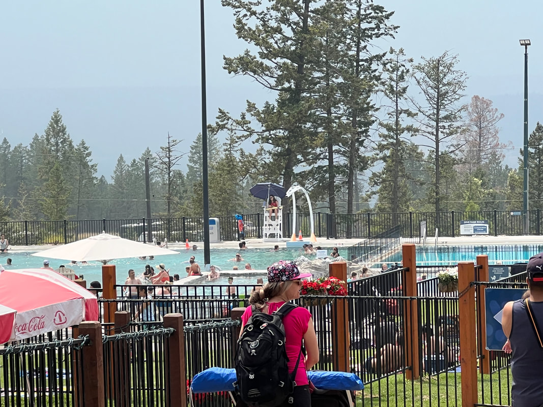
Since we had spent a day and a half at Radical Diesel hanging out with decent cell reception, we’d tried to make plans. But, because we weren’t quite sure what was going on with the truck, we couldn’t make reservations. This area of Canada has a clump of national parks, and while they’re not directly in a line, we planned a route that would allow us to see Banff, Kootenay, Glacier, Yoho, and Jasper. The Canadian National Parks system in this part of Canada seems to have been created to preserve land made accessible by Canada’s Rt. 1, better known as the Trans-Canada Highway, and this highway and a few off-shoots are the parks’ access roads - which makes the parks very accessible. Banff even has entry kiosks on Rt. 1 as you enter the park so you can purchase your park pass if you don’t have the system access pass. Because we had purchased the access pass at Waterton, we were able to bypass the kiosks and directly enter the park. The campgrounds in this part of Banff are reservation only, and you must reserve at least two days prior to when you want to stay, so we had planned to stop and see some sights in Banff, and then head on to Kootenay, where all the campgrounds have at least some first come first served sites. However, Banff was much more like the major US National Parks, crawling with people and slow moving cars. We took in the view from the highway, and kept driving, knowing we’ll pass nearby again after Yoho and we can decide then if we want to stop to see anything. We got off Rt. 1 onto Rt.93, which is the Kootenay NP access road. Large pulloffs with plenty of parking are every few miles, so it’s easy to find a trail head or scenic point. We went to the McLeod Meadows Campground, which is right on the Kootenay River, has a good hiking trail right by the campground, and is close to Radium Hot Springs, which we wanted to see. Three loops are FCFS, so we found a spot in the loop nearest the river and the trail head, although when we took the dogs for a walk we found that the other two loops were almost deserted. After we walked the dogs, we hiked to Dog Lake, which was about 4 miles round trip, up and over a hill across the river to the lake. The next day, we drove into Radium Hot Springs, which is a fairly substantial town with lots of gas stations, a nice grocery store, and bunches of hotels, restaurants, and other tourist oriented businesses. Someone in Calgary had recommended checking out the Fairmont Hot Springs before going to Radium, so we drove about 20 miles south and did that. Fairmont Hot Springs is part of a resort with a hotel, ski area, and a bunch of outfitters for horseback riding, kayaking, rafting, and anything else you might want to do outdoors. We only did the hot springs, which is two large pools with one about body temperature, and the other about 10 degrees F warmer. I was pleasantly surprised by how clean the pools were, because there were a lot of people in the pools, and they were advertised as no chemicals added. We discovered the reason for this when we got out; hot spring water is constantly flowing from the spring through the pools, and every night they completely empty the pools and let them refill overnight. We were told by someone who goes there regularly that the locals like to go hang out by the stream where the pools drain every night to see the giant temporary waterfall. The original hot springs are up the hill, with a small building with three private baths, and the natural pools. We left Fairmont and went back to Radium Hot Springs. We saw some big horned sheep on the road, and then went through the canyon to the Hot Springs building. We decided not to do any more hot spring soaking, and were glad we had gone to Fairmont since one of the Radium pools was closed. We also don’t know if Radium drains and refills them every day, although the Radium pools also looked very clean. We returned to the campground and prepared to leave the next morning for Canada’s Glacier National Park.
|
Meet the Moonracers
Tom and Marge are taking Moonracer Farm On The Road Again. Follow our journey to build an expedition vehicle and travel! Archives
January 2024
Categories |
