___Moonracer Farm OTRA
  • MRF OTRA Blog
  • Moonracer Farm OTRA
  • Capitols Visited
  • Contact Us

Atlanta, GA

11/27/2022

0 Comments

 
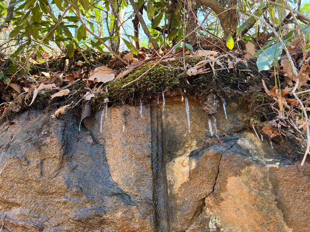
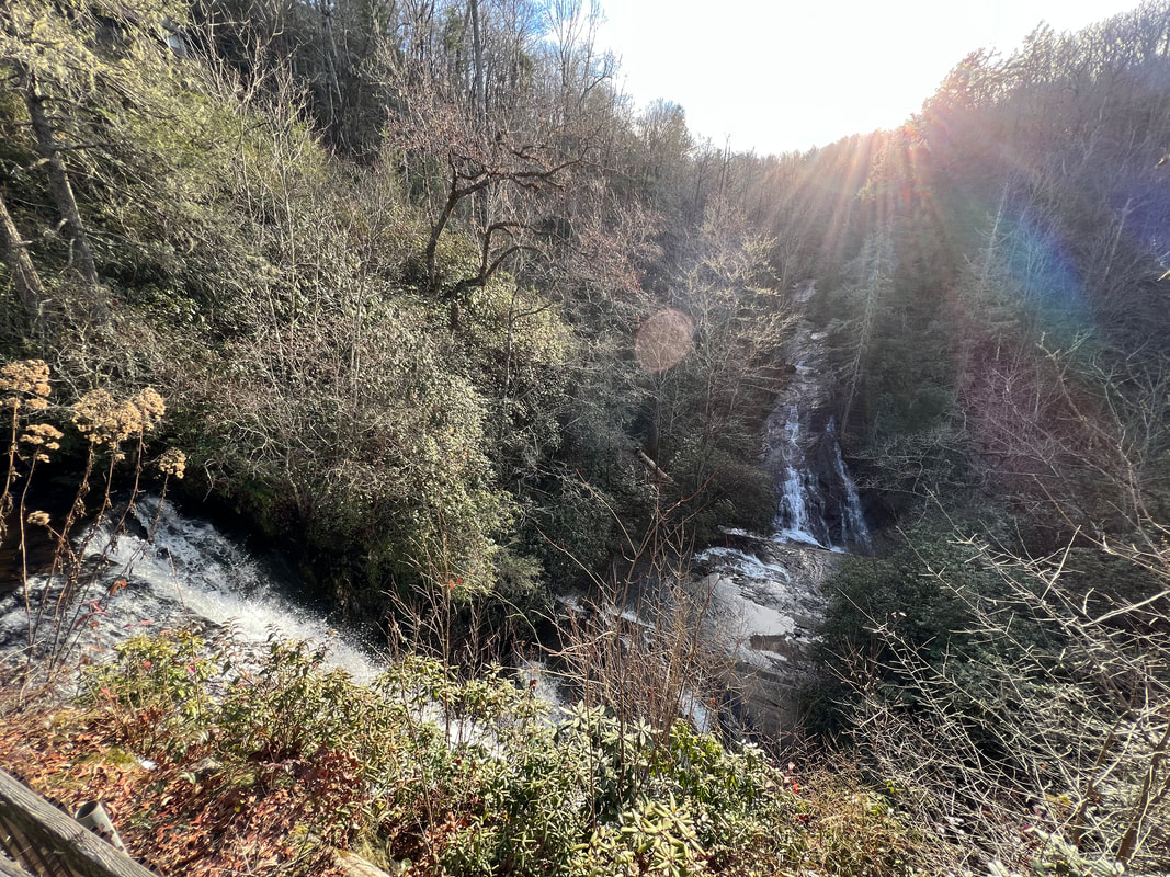
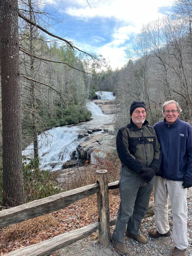
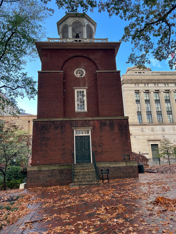
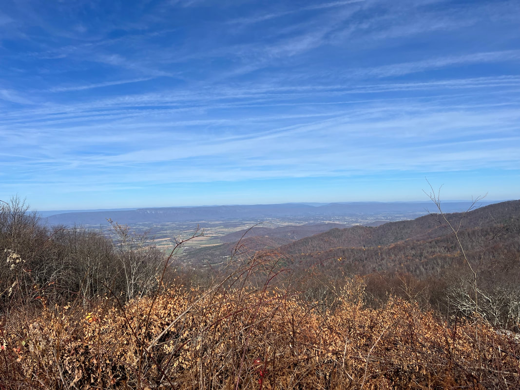
We left Cedar Mountain, NC, around noon on the Friday after Thanksgiving, stuffed from a great potluck dinner at the Canteen and lots of good food with Paul and Susan.  We arrived at Del and Vicky’s in Jefferson, GA, around 5PM, delighted with the slightly warmer temperatures and the delicious dinner in the oven.  Our plan is to stay here for a week or more to visit Del and Vicky and my brother Pete and his family, catch up on some camper projects, and to be in one place long enough to get some mail.  Since it was a nice day and Vicky was working, we decided that today we would take the hour drive into Atlanta to check that capitol off the list.

Atlanta traffic is horrible, and we were very glad Vicky had loaned us her car so we didn’t have to drive the camper in the heavy speed-up slow-down traffic on a very breezy day.  However, getting to the Capitol off the expressway was easy, and parking was free on Sundays on the very quiet streets around the Capitol.  In fact, the only people we even saw were the homeless people lining the sidewalks outside of the gated and locked fences surrounding the parks.  Despite nicely landscaped parks and a pretty and well maintained Capitol building, this puts Atlanta near the bottom of our list since we haven’t seen this problem around any of the Capitols we’ve visited, and in a prosperous and cosmopolitan city, it seems pretty inexcusable to us.  
Picture
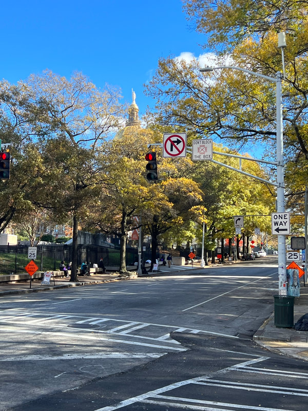
You can see the Capitol’s dome in the background. All those lumps along the sidewalk are people. They were all very polite as we walked by, and nobody even begged, which somehow made it even more depressing.
Picture
The Capitol itself, inside its deserted and gated compound, is quite pretty and well maintained. However, you need to look only just outside the gate to see that this city has some serious problems.
We don’t have any great plans for the rest of our time in Georgia, besides visiting great friends and family, but I’ll post another blog when we get moving again.  
0 Comments

Western North Carolina

11/22/2022

0 Comments

 
Just so I can be entirely caught up and relax until we head for Georgia on Friday, I’m going to post photos of the past week.  We are lucky to have two sets of friends who live in this beautiful area of North Carolina, one about 20 minutes east of Brevard, and one about 20 minutes south.  Both have access to both the Pisgah National Forest and DuPont State Park virtually right outside their yards, so we’ve been able to take a beautiful hike in one park or the other every day.  We’ve also enjoyed a lot of good food available in the area, both with what we’ve cooked at home, and at favorite restaurants.  The only downside to these visits is that we’re here about two weeks too late, and it’s cold, as evidenced by the photos of icicles which I feel compelled to take.  But, we’ve also been able to park in the driveways of our friends and run an extension cord to the camper so we can run our little electric heater all night.  So, despite below freezing temperatures outside, we are warm and snug in our tiny mobile home.
Picture
Picture
Picture
Picture
Picture
Picture
Picture
Picture
0 Comments

Outer Banks and Raleigh, NC

11/22/2022

0 Comments

 
We left Richmond and headed for the coast.  We had discussed a stop in Virginia Beach, but the same ranger who had recommended the good hikes in Shenandoah had recommended Oregon Beach Inlet Campground in the Cape Hatteras National Seashore, so we decided to be done with Virginia and move on to North Carolina.  The day was clear and sunny and the driving was a mix of Sunday interstates and clear state highways, so we made good time with easy driving to the Outer Banks and south to the Cape Hatteras National Seashore.  We arrived mid-afternoon, and didn’t have any problems getting a camp site at Oregon Beach Inlet Campground, although we were mildly annoyed that the rangers require you to book on-line where you don’t get the Annual Park Pass discount.  But, for the difference that made with just two nights’ stay, we didn’t worry about it.  We used the remaining daylight to take a walk on the beach, which was cold and very windy, but it was nice to walk a few miles and see very few people, just dunes and sand and ocean.  And, the wind was blowing the sea foam, which Kismet found fascinating since she could chase it, but it disappeared when she tried to grab it.
Picture
Picture
For our one full day in the area, we decided to visit the Wright Brothers National Memorial.  It might not compare with Dinosaur Valley, but this park provided us with a very enjoyable and educational day.  Like most Americans, we grew up with the Wright Brothers’ story as one of our major lessons in school, but seeing where it happened and listening to people who are truly passionate talk about it gives it another whole layer of meaningfulness.  We started the day by attending a half hour lecture by a gifted docent whose feeling and eloquence had most of the listeners getting misty eyed as he turned Orville and Wilbur Wright into real people.  After the lecture we walked through the museum, and then spent the rest of the afternoon wandering around the area of Kitty Hawk where the Wright Brothers first flew their glider from the top of a dune, and then executed the first self-powered manned flight in human history.  
Picture
This is a replica of The Flyer. The actual plane is in the Smithsonian.
Picture
The dune used by the Wright Brothers to launch their glider as they figured out the mechanics of flying prior to putting an engine on a plane. In the 1920’s, the citizens of Kitty Hawk seeded the dune with grass to prevent erosion, and laid the foundation for the memorial at the top.
Picture
A sculpture of the first flight, complete with people. It’s slightly smaller than reality, but big enough so you can feel the energy of the day as you walk around and study it.
Picture
A replica of the track used to launch the first four flights, exactly where they happened. The four stones extending towards the tree line mark the lengths of the first four flights, which all happened on the same day. I never knew that the reason there were only four flights on that day is because a gust of wind picked up the plane and rolled it, damaging it before the Wrights could try to extend the distance with a fifth flight.
Before going back to the campsite, we stopped at the Bodie Island lighthouse just in time for sunset.  
Picture
​Before heading to Raleigh the next morning, we stopped on Roanoke Island to visit the site of the Lost Colony, where all of the residents of Sir Walter Raleigh’s attempt at colonization disappeared in 1587, and whose disappearance remains a mystery even today despite an abundance of theories.  We didn’t glean any great insights into the mystery, but the park provided a great place to walk the dogs before spending a few hours in the car.
Picture
Picture
Picture
We ended the day in Raleigh, the capital of North Carolina.  Despite being cold and wet, we found a parking space on the street less than a block from the capitol building, and we had a nice walk around our 22nd capitol.  The capitol is impressive, and despite the drippy weather, a lot of people were walking around the area and were happy to talk to us.  However, the weather became even colder as the sun set, so we didn’t linger and made our way to a nearby Cabela’s for the night before heading for the mountains in western North Carolina and a series of friends to visit.
Picture
0 Comments

Richmond, VA

11/22/2022

0 Comments

 
Picture
When we set our phones to give us directions to Richmond from the Big Meadows Campground in Shenandoah National Park, we both snorted a bit because all of the suggested routes came with tornado watches.  Granted, we knew Nicole was blowing through, and it was very windy, very rainy, and very foggy, but as we came down out of the hills and progressed towards Richmond, conditions improved dramatically.  We stayed off the interstates and took a state highway to within five miles of the city, where we jumped on I95, knowing that our friend Margaret’s house was just off the interstate.  We found her house and pulled into her back alley, where we moved a bunch of garbage cans and wedged the camper into a space designed for a normal sized car.  We were right in the middle of the greetings and the hugs when all three of our cell phones started buzzing madly, just as we heard sirens from every direction.  
Picture
Apparently we should have paid more attention to the Tornado Watch notifications, because despite the fact that it looked as though the weather had cleared, the weather service had detected clouds with a circular wind pattern approaching Richmond, and they upgraded the Watch to a Tornado Warning and advised us to seek shelter.
Picture
We cut short the greetings and the camper tour and went in the house, where we sat at a table near the downstairs powder room, which is the only interior room in the house.  We checked the weather radar and saw a very dark red thunder cell heading in our direction, and within a few minutes the loud continuous booming of thunder started, along with torrential rain.  The sirens continued blaring, and the Emergency Alerts continued to come in on our phones, and we ended up sheltering in place for close to an hour as the storm moved over us and finally drifted off to the north west.  We never saw any signs of a tornado, but the wind and the rain left piles of debris in the streets.

When the storm cleared, the sun reappeared and we decided to take the mile and a half walk from Margaret’s to the Capitol building.  Like Trenton and Annapolis, the capitol is under construction, so we had to work to get photos without hazard tape and hazard fencing marring the view.  While this capitol doesn’t have a dome, it is set on the top of a small hill in the middle of a park, and surrounded by grand old buildings and brick and cobblestone streets.  Broad Street runs into the capitol complex, and is lined with a mix of small businesses and upscale hotels and restaurants, and it all makes for an interesting walk.
Picture
Picture
Picture
Picture
Picture
The next day, which was Saturday, we did a walking tour of the city.  We couldn’t really drive anywhere because many of the streets around us were closed due to a marathon, but we walked down the street known as Monument Avenue, despite the fact that most of the monuments have been removed as part of the Black Lives Matter movement since they portrayed Confederate military men.  The walk was an interesting lesson in interpreting history, since the monuments were erected shortly after the Civil War to memorialize the Confederacy, where they remained until relatively recently when people finally realized that memorializing people who were fighting to keep other people as slaves probably wasn’t very nice or respectful.  Walking gave us time for both introspection, as well as discussions, although since the three of us agreed on the issues, we didn’t cover much new ground.  Despite the fact that we were discussing a somber period in US history, it was a beautiful day for a long walk and we enjoyed cheering on the marathoners. 

Because we had gone out for a delicious dinner at Mama J’s on Friday night, we cooked in and had salmon and roasted Brussels sprouts, which is still a treat for me and Tom since the only salmon and Brussels sprouts we get in Belize are overpriced and not the best.  We went to bed early so we could get an early start as we headed for the Outer Banks of North Carolina.
0 Comments

Shenandoah National Park

11/21/2022

0 Comments

 
From Sarah’s house in Warrenton, it was a straight shot on a Virginia state highway to get to Shenandoah National Park.  TomTom told us that our route didnh’t fit our specifications because of an unavoidable toll, but it turned out that the toll was the Skyline Drive park fee, which was covered by our National Parks pass.  As we passed the manned toll booth the ranger double checked that our vehicle would fit through the 12’8” tunnel, and they we were on our way to four nights in the park.
Picture
You enter the park before you even get to Skyline Drive, and you’ve already climbed a thousand feet or so before you get to the Skyline Drive Park entrance.
Picture
We had checked, and double checked, and triple checked that we would fit through the tunnel…but we still gulped and went slowly.
Picture
But yes, we fit. Comfortably, even.
We arrived at the Big Meadows Campground, which is the only campground in the park open during the off season.  Even with being the only open campground, it was only sparsely occupied, and the very nice ranger at the office talked to us and not only made a spot on suggestion of where we should park, but also suggested some good hikes, both for that afternoon and for the following days.
Picture
The afternoon hike suggestion was for the Lewis Falls Loop, which begins and ends just behind the campground.
Picture
Deer are constantly wandering through the campground, and they aren’t afraid of people or dogs.
Picture
We reached the overlook near the campground just in time for sunset. We definitely could not have planned that well but we got lucky.
The next day we took a full day hike on the Rose River Circuit, again at the ranger’s suggestion.  It was an 8+ mile hike with over 1,700 feet of elevation gain.  And, obviously, some beautiful views.
Picture
Picture
We came back to our campsite from the hike and found a van with very loud and vehement Bible slogans all over it parked in the campsite directly across from us. We both thought something along the lines of “Shit, at best he’ll pray loudly, and at worst he’ll try to make us repent.”  We rounded the front of our truck and saw this deer standing right in the corner of our campsite just off the back of our truck. The dogs started barking, and she just looked at them, and didn’t appear frightened or worried. Eventually the dogs worked themselves into a true frenzy, and she trotted off. The man in the Jesus van backed out of the campsite and went elsewhere. I firmly believe she was a Forest Spirit saving us from the Bible Thumper. 

The next day we took another long hike, this time on the Cedar Run-White Oak Circuit, which had been recommended to us by a hiker we met on the trail and talked to the day before.  This hike was over 8.5 miles, with more than 2,500 feet of elevation gain.  
Picture
Picture
The loop follows one river down the mountain and another back up, so the entire hike is one waterfall after the next.
The last full day we were there was colder and windier than the previous two days, which were already chilly, and after two long and strenuous hikes, we decided to take a “short” five mile hike on a park road.  The road passed through the Big Meadow and into some woods, and while we didn’t get the spectacular views of the previous two days’ hikes, it was pleasant and not too cold.  
Picture
Our intention for our last morning before pulling out to head to Richmond had been to go to a trailhead south of Big Meadows and do a half day hike.  However, Tropical Storm Nicole foiled that plan as we woke up to driving rain and wind.  She brought slightly warmer temperatures, but not warm enough to entice us to walk in the pouring rain.  So, we packed up and headed south on Skyline Drive to pick up state route 33 which would take us all the way into Richmond.
0 Comments
<<Previous

    Meet the Moonracers

    Tom and Marge are taking Moonracer Farm On The Road Again.  Follow our journey to build an expedition vehicle and travel!


    Overnight Stops

    Archives

    January 2024
    September 2023
    August 2023
    July 2023
    June 2023
    May 2023
    April 2023
    March 2023
    February 2023
    January 2023
    December 2022
    November 2022
    October 2022
    September 2022
    August 2022
    July 2022
    June 2022
    May 2022
    April 2022
    March 2022
    February 2022
    January 2022
    December 2021
    November 2021
    October 2021
    September 2021
    August 2021
    July 2021
    June 2021
    May 2021
    November 2019

    Categories

    All

Web Hosting by Netfirms