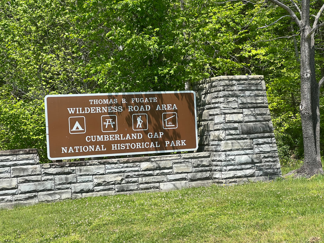
We had an easy drive from Great Smoky Mountains NP to Cumberland Gap National Historical Park, which covers three states. We camped at the Wilderness Road Campground in Virginia, and over two days hiked in Virginia, Tennessee, and Kentucky. The Wilderness Road Campground is ironically right on the highway, and our only complaint with the campground was a lot of road noise. We had our choice of campsites when we got there since there were very few campers, and most of the campers had opted for the hookup sites where we, as usual, were happy to boondock. This campground also had wonderful hot showers, which we really appreciated our second day there when we returned from a 10-mile hike cold and soaking wet from hiking the last three miles in a thunderstorm.
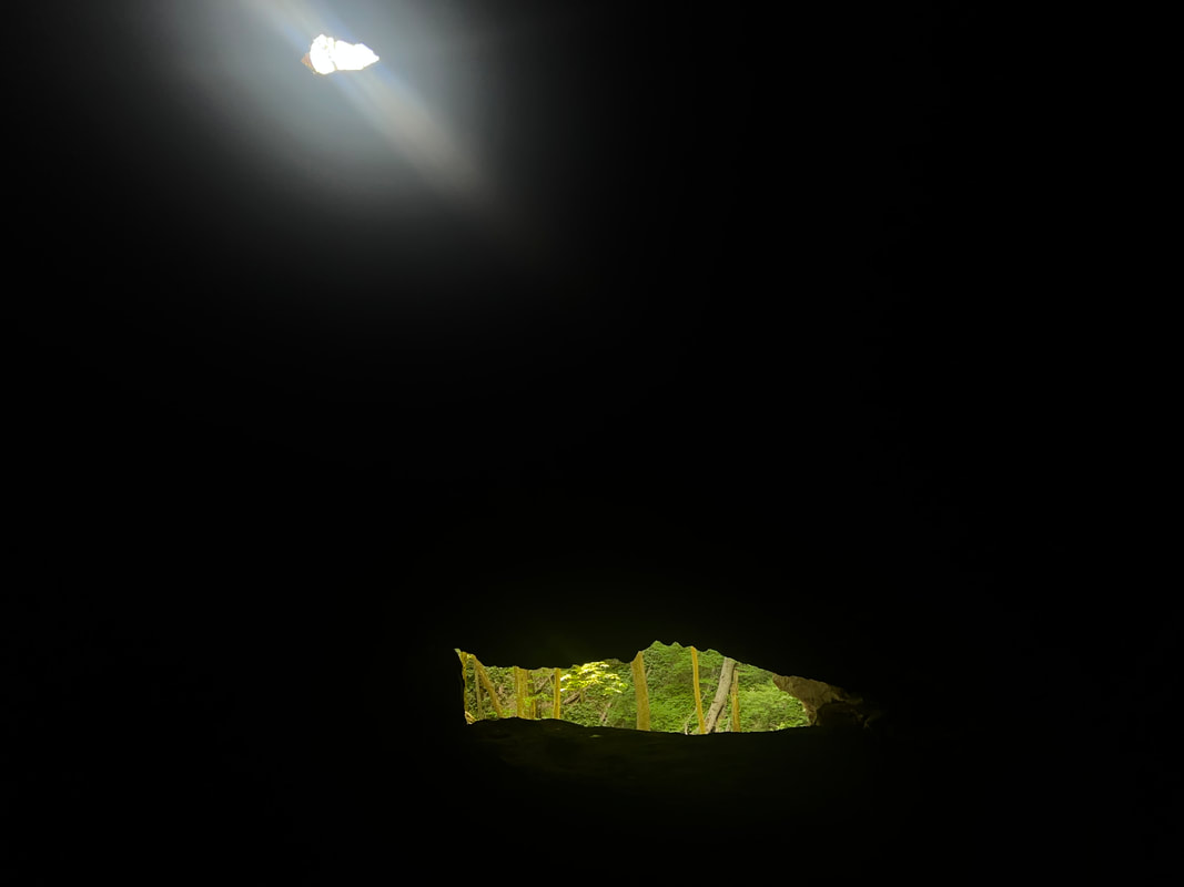
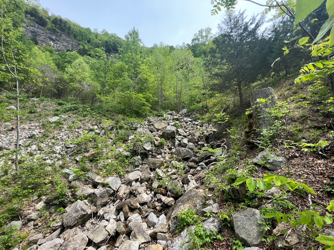
Despite being generous with bear warnings, dogs are allowed on the trails in this park, so we took a hike up the mountain to the aptly named Skylight Cave. The trails are clearly signed and well maintained, so it was a fairly easy walk despite being a pretty good climb. We hadn’t expected the cave to be a real cave so hadn’t taken any flashlights, so I stayed near the entrance when Tom ventured a little further into the cave with the light on his phone. He said he probably could have gone a good way into the cave, except some climbing would have been involved which he didn’t want to do on his own while trying to hold his phone. We reversed our tracks and went back to the camper to look at the map and plan a hike for the next day since we knew what to expect of the trails.
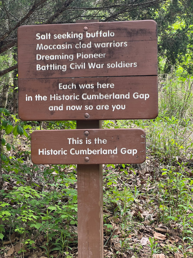
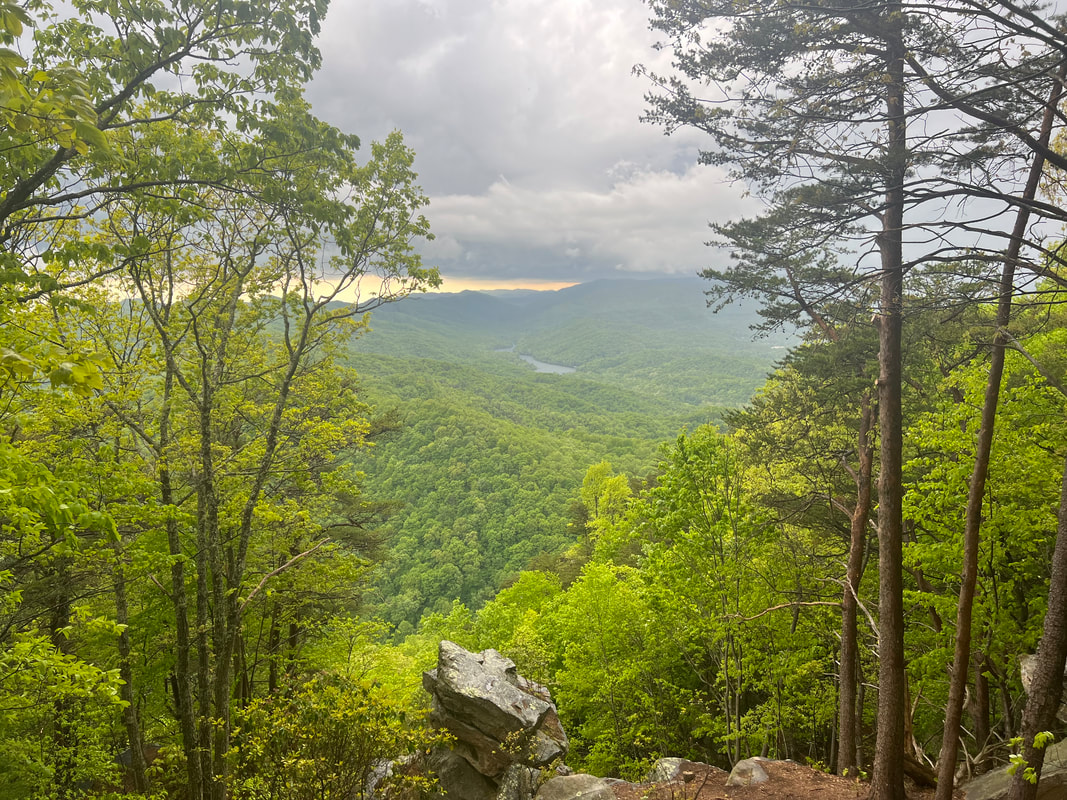
The next morning we talked to a ranger who told us that an out and back from the campground to the Tri-State Peak would be a good hike. We decided to leave the dogs in the camper because the weather report was iffy, and dragging miserable wet dogs through the rain isn’t much fun. We packed a lunch and took off on the trail, following a combination of a paper map provided by the park, and the incomplete trail map on maps.me. We found the Tri-State Peak without any trouble, and from there realized the significance of the park. As the US was expanding to the west, Cumberland Gap was the only way westward bound settlers could cross the Appalachians. It wasn’t easy by any means, but it was easier than any other way within hundreds of miles. This is clearly seen from the peaks overlooking the Gap. The other interesting historical fact is that the surveying of state lines was disputed for decades after the original Lewis & Clark survey, and the eventual decision was based partially on the Gap. In more recent history, the historical Gap road which had gone from animal trail to Indian trail to wagon trail and eventually to road was replaced with a tunnel in the mid 1990s, and the park service made a concerted effort to remove all traces of the road and return the landscape to what it looked like in the 1880s when the road was barely a wagon trail. In 2023, I’d say they’ve been successful, and there’s a whole lot of history to take in from the top of that mountain along with the views.
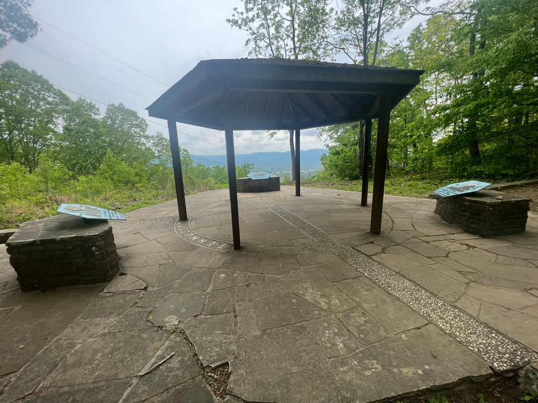
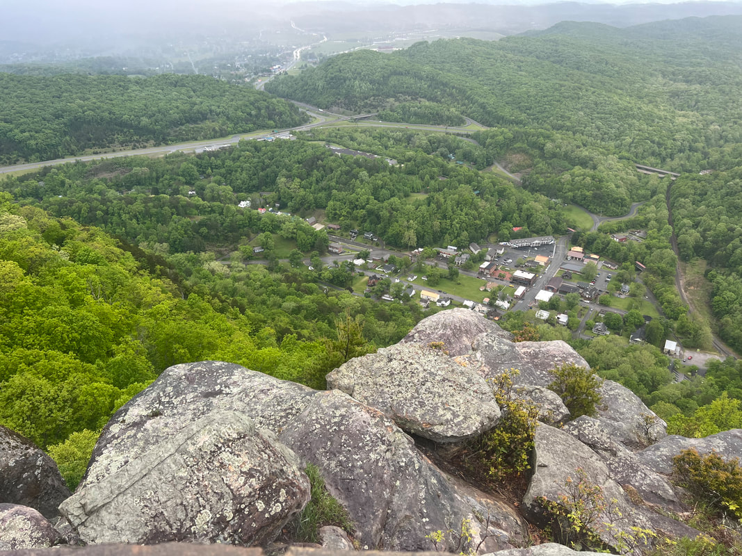
When we finished our lunch at the top of the Tri-State Peak, we took a look at the weather, and another look at our maps, and decided that rather than retracing our steps, we would take the slightly longer loop route back and go to the Pinnacle Overlook for a better look at the actual Cumberland Gap since you can look down on it from the Overlook, rather than essentially being in it on the Peak. After descending from the Tri-State Peak, we had to climb back up about 1400 feet over just a couple of miles. By the time we reached the Overlook, the weather system had decided to divert from its predicted route, and we were hearing the steady rumbling of thunder. It started pouring just as we reached the shelter by the Overlook parking lot, so we stood with a few other people to wait for the storm to pass. A very kind family offered to drive us back to the campground, but since we had hiked all that way to see the view from the Overlook, we opted to wait for the thunderstorm to pass so we could run to the top to get a look without getting struck by lightning. Eventually the thunder and lightning were far enough in the distance that we decided it was worth the risk, and we climbed the last little bit for the very worthwhile view from the top.
After seeing all we could see, we set out back towards the campground along the Ridge Trail, which basically follows the state dividing line along the ridge. As we hiked, weaving back and forth between Kentucky and Tennessee, we watched the fog roll into the valley and were very glad that we’d made the dash to the Overlook when we did. Somewhere along the way it started raining again, so we hiked the last few miles trying not to slip on the mud and wet leaves, and moving fast enough to keep ourselves warm. We bailed on the last mile or two and left the woodland trail for the paved road, but we don’t think we really wussed out since we ended up doing about 10 miles that day anyway with over 2000 feet of climb…even before our Apple Watches burped because of rain drops. We were very glad we’d left the dogs home, and we were also very glad we had access to nice hot showers. We spent another quiet night before continuing down Daniel Boone’s Wilderness Road the next morning.
