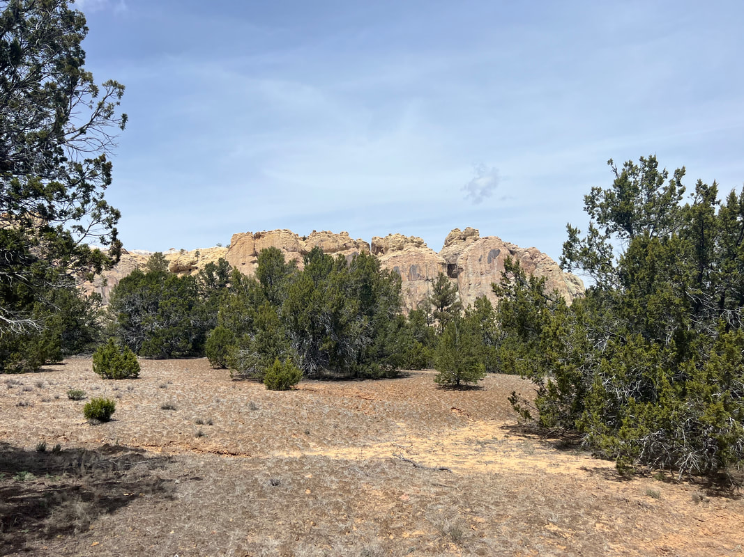
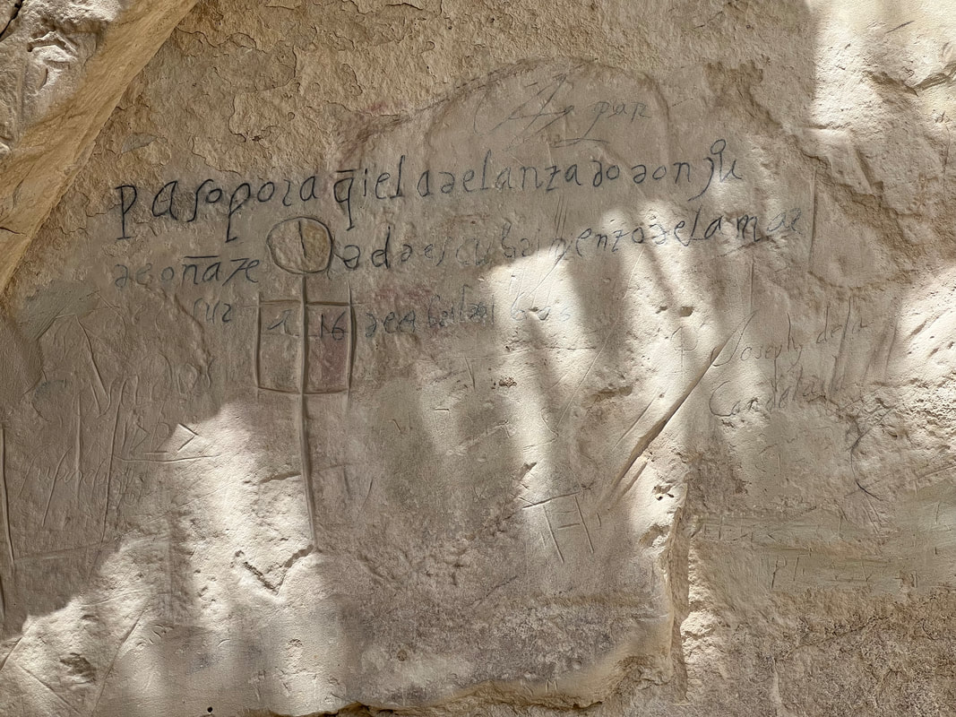
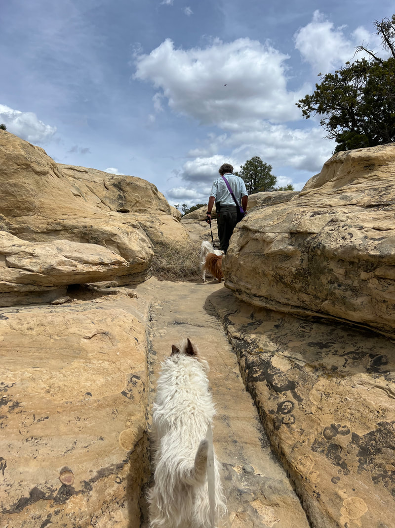
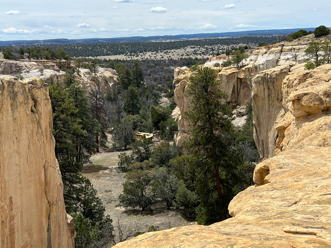
When we were planning our route heading east, we found these two small National Monuments would be in our path so we planned stops at both of them even though we didn’t really know what to expect since we’d never heard of them before we started using the National Parks app. We were a little nervous about getting there because they were on Ice Cave Road, but we found that Ice Cave Road is a state highway and the road to El Morro was paved all the way into the parking lot. El Morro means “the bluff” in Spanish, and the park is built around a big rock bluff which stands over the surrounding grasslands, and which was well known as a stopping place for travelers because of a year round spring at its base. The rocks around the spring are full of carvings left by travelers using the east/west route by foot, on horses, and in wagon caravans, so it’s very historically interesting. We thought this would be the extent of the park, but were pleased to find that the park service has built a trail which winds up the back side of the bluff and allows you to walk around on the top, where you can also see the ruins of an ancient peoples’ village, as well as some amazing views.
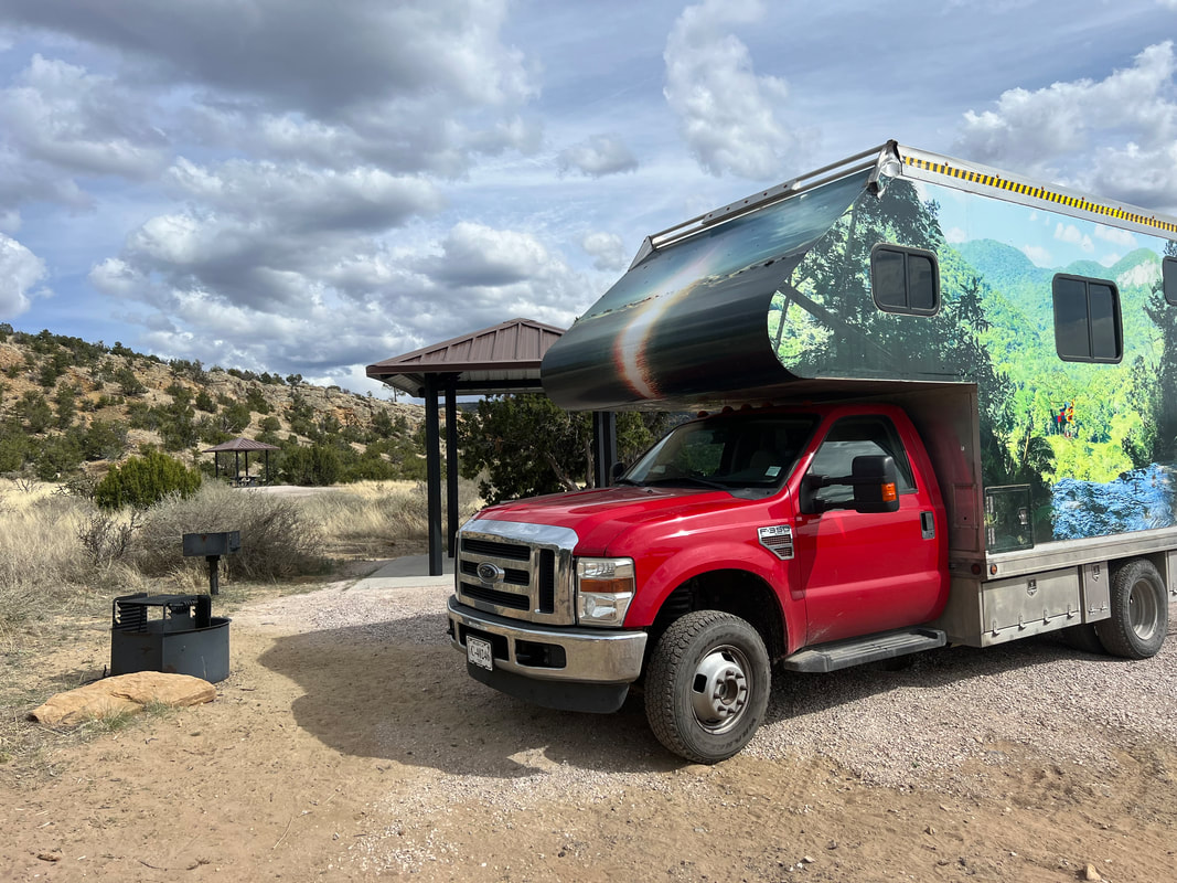
We finished our hike and headed for El Malpais, which means “the badlands” in Spanish. By this time we didn’t have time for a hike, so we went directly to the free Joe Skeen Campground on the east side of the park with plans to spend a couple of days there to do hikes in different areas of the park.
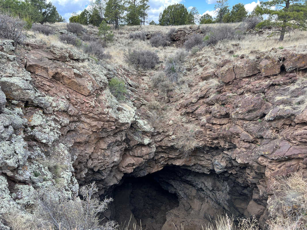
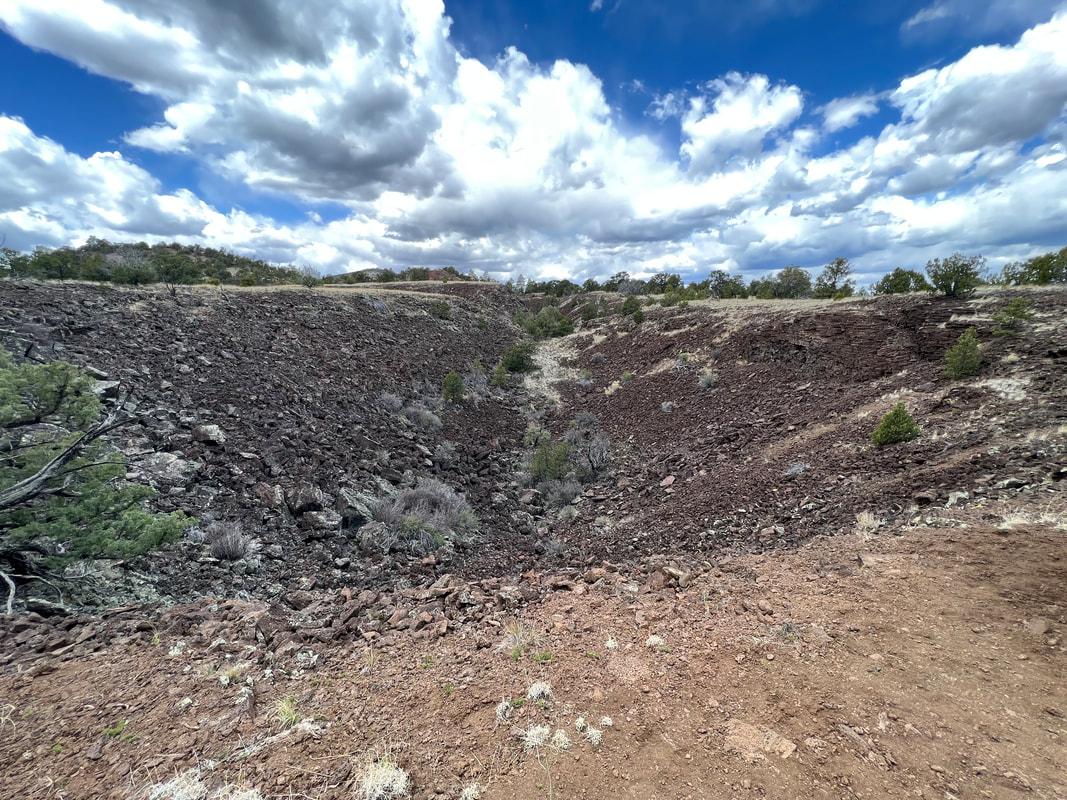
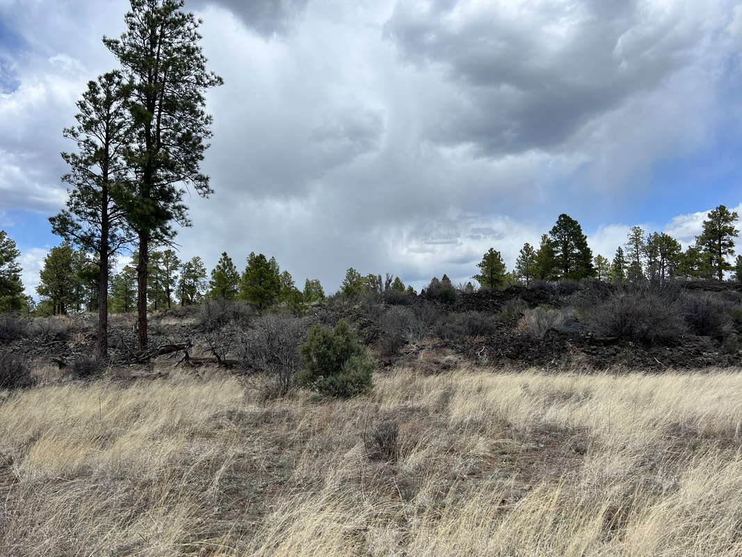
Fortunately we had good cell reception there, because when we started looking at the weather for the next couple of days we found that high winds were forecast. So, we did a replan and decided to head out the next morning to see the Natural Arch, and then go back to the other side of the park to hike to a volcano crater. The arch was just a short drive from the campground, so we did that first, and then when to the trailhead for the El Calderon Trail. The trail wound past a few lava caves, then up to the crater, and then through the lava flows on the way back down. While it wasn’t as interesting as an active volcano, it was a good hike and we were lucky to run into a retired geologist hiking with his two dogs who shared a lot of information about the area.
We were back in the truck and heading for Albuquerque just a little after noon, and just as the winds were starting to pick up. We had one scary moment on the state highway when we were slammed by a dust devil that knocked us onto the shoulder of the road, but by the time we were heading directly east towards Albuquerque, the wind was at our backs and even though it was gusty we were okay. We elected to stay off the interstate and follow what’s left of Rt. 66, and we made it to Albuquerque without any further problems. We had learned the day before that Tatiana was in Belize so we didn’t get to see her - although we were very glad she’d been able to go! - but we got to visit with Aspen for a couple of days while we waited for the worst of the winds to pass. We got haircuts and caught up the laundry and made plans for some truck work, and hit the road early a few days later, heading east.
