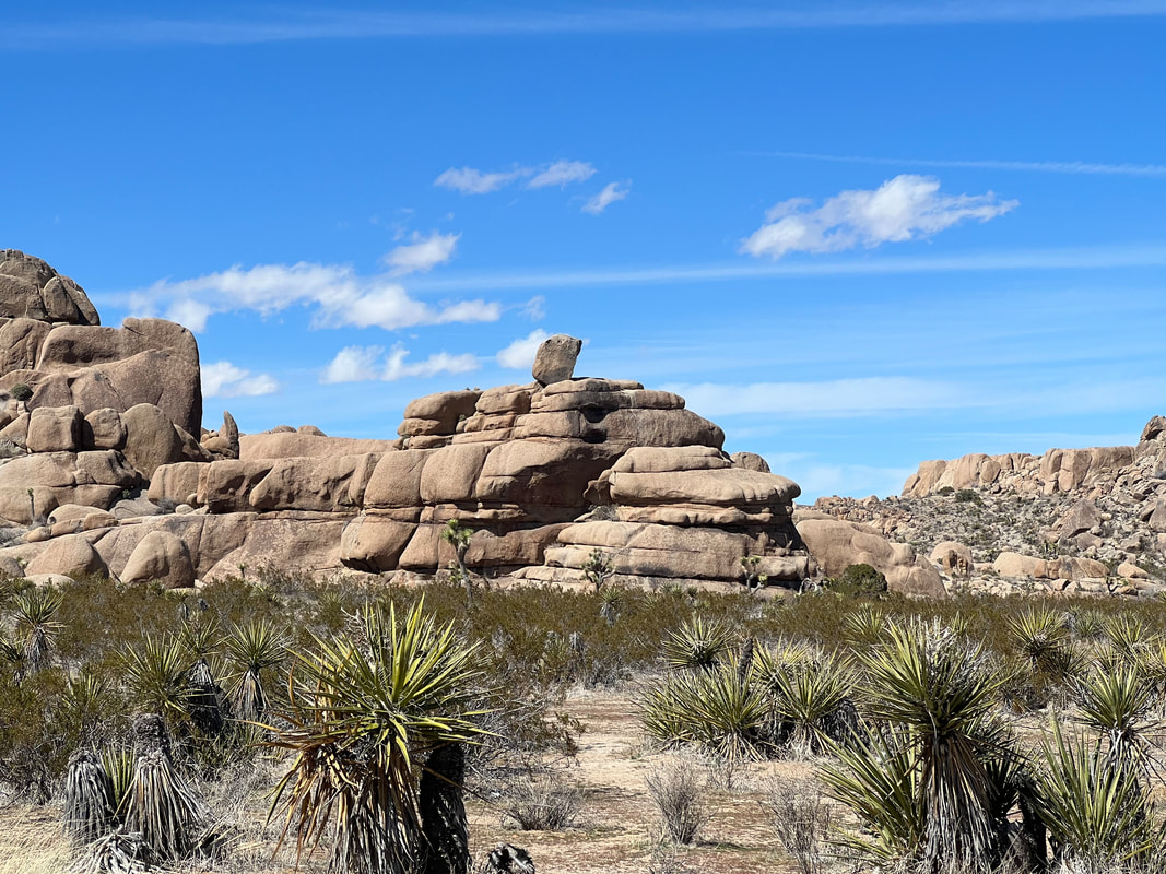
We left Mojave National Preserve and headed for the north entrance of Joshua Tree National Park. We drove through a dry lake where they collect and process chloride, and pulled into the town of Twentynine Palms. We decided to get fuel before heading into the park, so used Gas Buddy to find where it was the least expensive, and started following the directions. We were a little surprised when we pulled up to a military checkpoint and were told we weren’t allowed to enter the base, but they had plenty of room for our rig to turn around and head out. We headed for another road to get to the gas station, only to again find ourselves at a military checkpoint. We turned around again and asked where civilians could get fuel, and were directed back into town where we found a gas station with more expensive fuel, but by that point we were happy to get whatever we could.
We then headed into the park to see the points of interest and see if we could find a campsite in one of the park’s first-come-first-served campgrounds. Because we didn’t arrive until the afternoon, we thought we might want to spend a couple of days there. However, we quickly realized that the entire park was crawling with people, and not only could we not find a campsite in the park, it was difficult to see the recommended sites because so many people were in so many cars that even if we could find a parking spot within walking distance of a site, when we got to the site it was difficult to even get a photo without random people posing for selfies or family portraits. We abandoned the plan to spend significant time in the park and found a pull off near a random trailhead that wasn’t near a point of interest, and took an off the map hike through the desert and the Joshua Tree forest.

On our hike, we found an abandoned ranch. On the way out, we realized we’d come in the back way and missed the No Trespassing sign at the front. We wondered how they could have National Park areas that didn’t allow people to visit, and after a little research, found that when the park was created, it was planned around a number of privately owned properties that still remain privately owned.
We got back in the truck and headed for BLM land just north of the park and the town of Joshua Tree. Apple Maps took us in on a very bumpy OHV road, but we found the very large and very open BLM land at the end of the road - and also at the edge of the town with paved streets, which we used to exit in the morning. We parked fairly close to the town rather than driving further out the bumpy road, and spent the night listening to baa-ing goats or sheep, which was far preferable to lots of cars and lots of people talking.
In the morning, we used All Trails to find a hike in the Mission Creek Preserve, which was on the way to Huntington Beach. The Preserve is about 2 miles up a very washed out gravel road, so we decided to park near the highway and walk to the Preserve rather than driving up there and walking in the park. The gravel road wound up a wash through the desert, and at the top we found a beautiful picnic ground that looked like it used to be a fancy campground. Shells of stone buildings were along the trail, and a small dry swimming pool was behind them, with a beautiful fireplace. We poked around, and then headed back down the road to the camper to drive towards Huntington Beach.


