|
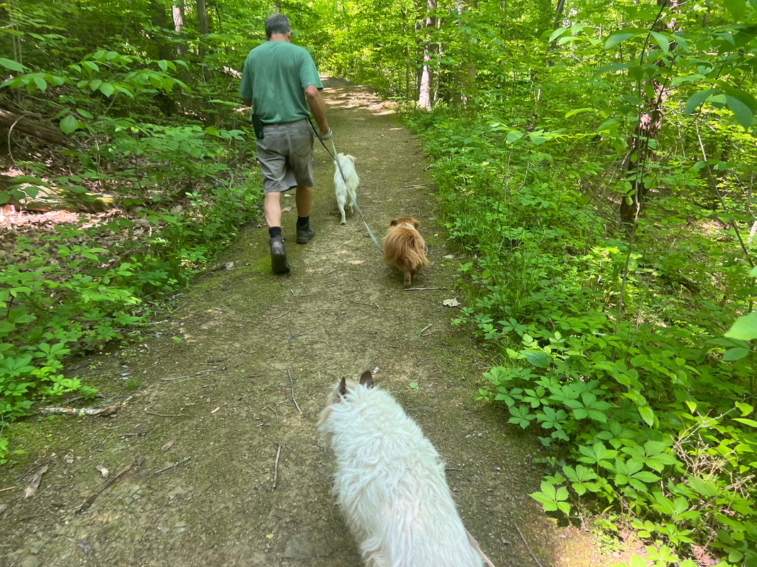
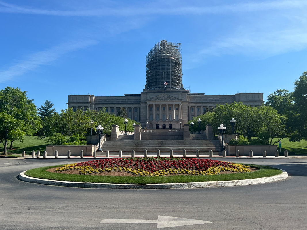
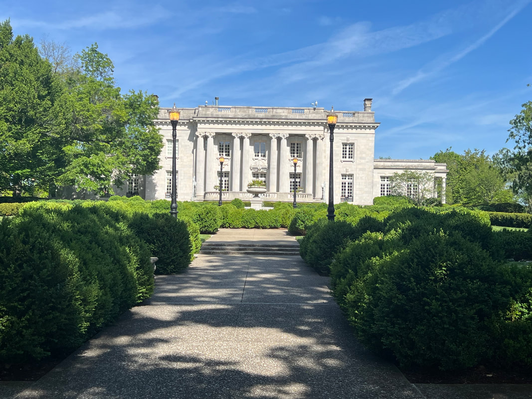
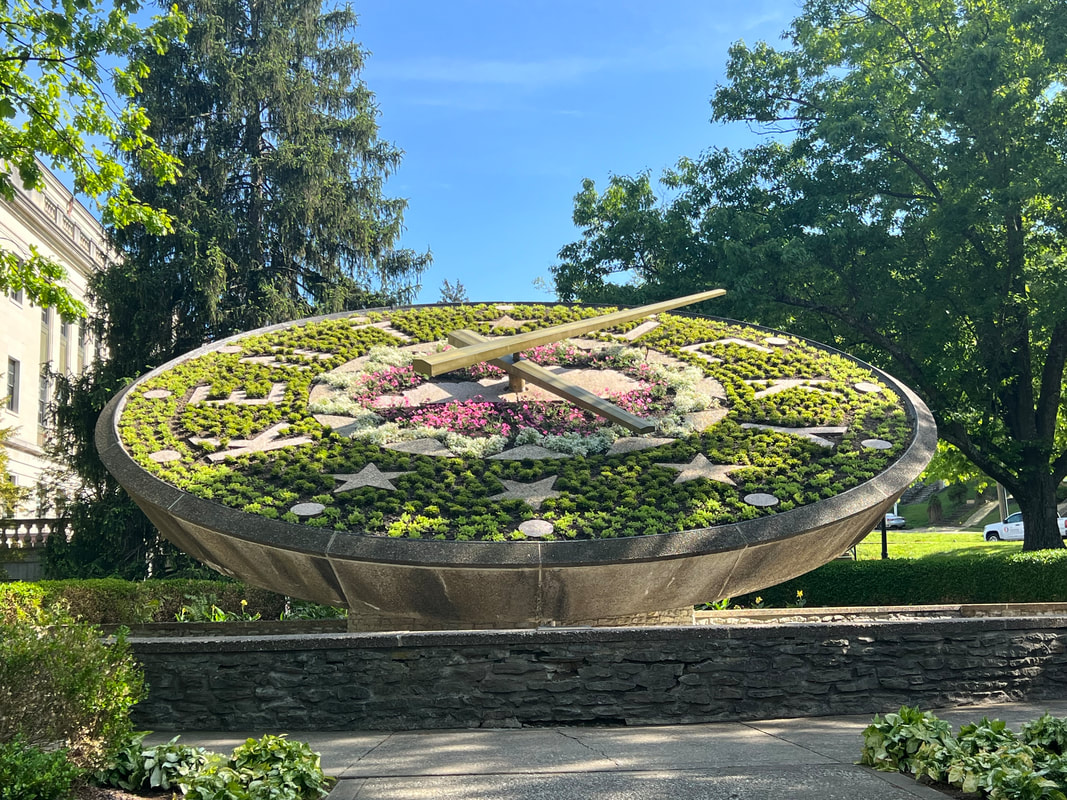
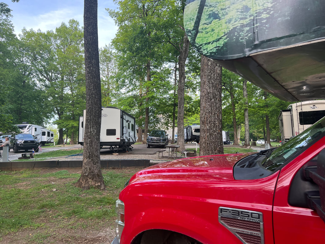
After a few false starts at finding a place to stay, we drove out of West Virginia, barely, and spent the night at a Walmart just over the Kentucky state line. In the morning, we found a city park which had maintained enough green space that we took a windy four mile hike through the woods before heading west towards Frankfurt. The route we took didn’t pass through any cities, so we enjoyed the rolling hills and magnificent horse farms which make up the northern part of the state. We took our time, and pulled into Frankfurt just after 5pm. We were able to park on the boulevard leading directly to the capitol, but were disappointed to find that the dome of the capitol is under construction. We took a walk around the grounds, and enjoyed seeing the old houses in the neighborhood surrounding the capitol, as well as the beautiful gardens, which even include a garden clock. Unlike Charleston and Harrisburg, this capital doesn’t make use of the river, but it doesn’t really matter the gardens and surrounding area are so beautiful. It probably helped that we were there in May when spring is in full swing, but we were glad to see we weren’t the only ones enjoying the grounds on a pleasant spring evening. Our next planned stop was Abraham Lincoln Birthplace National Historical Park, which is a two-site park on the way to Mammoth Cave National Park. We set out on the road in that direction, planning on stopping at a Walmart. However, we stopped at three Walmarts and were told that none of them are allowing overnight camping. The last one was in Bardstown, KY, and the Walmart told us that the city police weren’t allowing overnight camping in any parking lot, which included the nearby Cracker Barrel, which had been our backup plan. After the first two refusals, I had started scoping out campground possibilities, and noticed that Bardstown had My Old Kentucky Home State Park right in the city. When we realized that we weren’t going to find a parking lot camp spot, I looked at availability at My Old Kentucky Home and saw that a number of sites were still available for that night. We were surprised when we realized the campground was about 5 minutes from the Walmart, but that made it very easy to pull in, find an open site, and get settled for the night. It was probably more crowded than a Walmart and it cost about $25, but it was well worth it to be safe and able to go to sleep without waiting for a knock. In the morning, we emptied our gray tank and filled with water, and headed south.
0 Comments
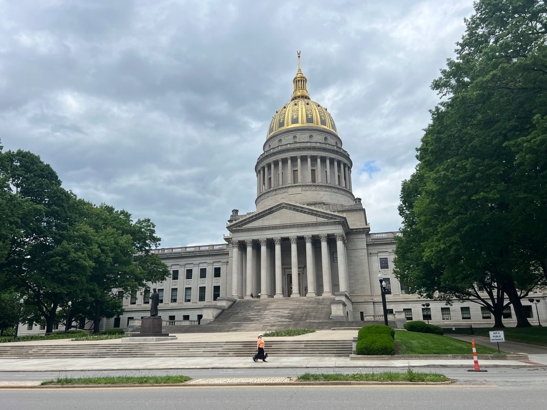
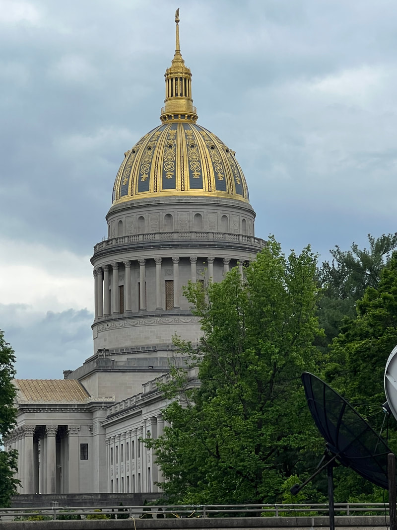
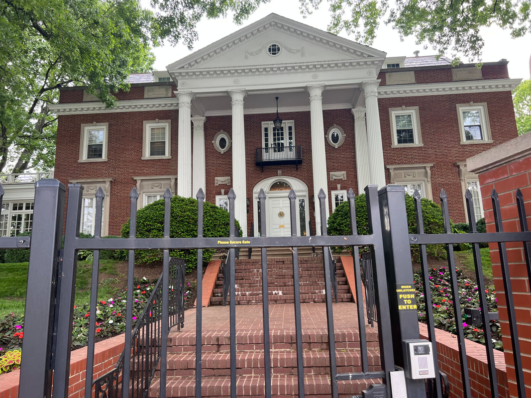
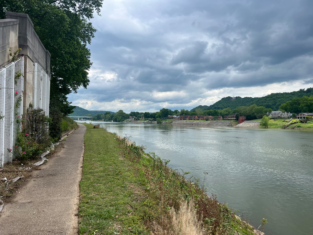
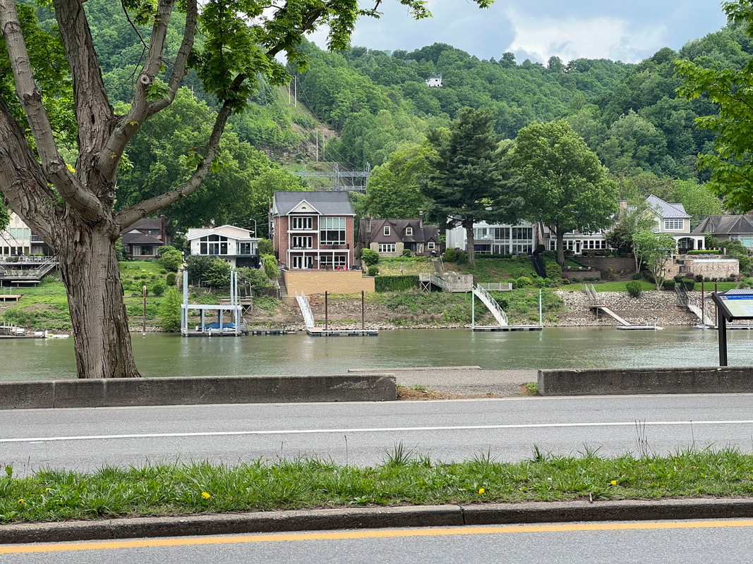
Charleston, West Virginia’s capital, was a very pleasant surprise, and has moved into our top five favorites. The capitol itself is beautiful, with a shiny gold dome. Like Harrisburg, PA, it is set on a river, with a river walk running along the river past some very nice neighborhoods surrounding the capitol. The surrounding grounds are well maintained, and while the memorials are typical of what we’ve seen at other capitals, they’re interesting. We were there on a cool and drizzly day, and we still saw a lot of people walking around the grounds and along the river. Everybody was super friendly, including security and parking personnel. In fact, when we first pulled in, we weren’t sure we were going to be able to find a place to park, so we stopped at the booth for the public parking to ask if there was anyplace around the area to park an RV, and the woman had us wait while she called her supervisor, who told her to send us over to the other side of the lot. When we got there, the supervisor had us park along a curb where we were out of the way enough that cars could get by, and when we asked if we should pay him or feed one of the meters in a legitimate space, he told us not to worry about it and to enjoy their capital. We took a walk around and took photos, and then said goodbye to West Virginia and headed for Kentucky.
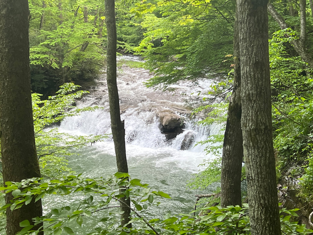
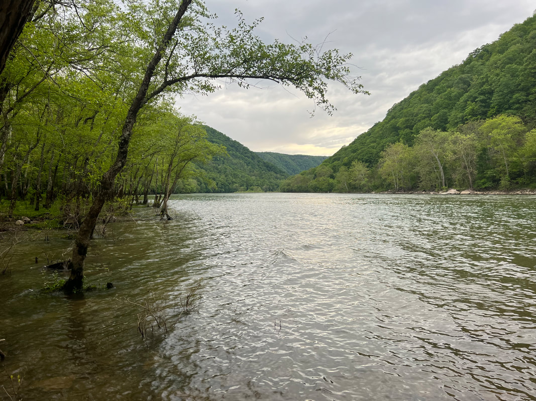
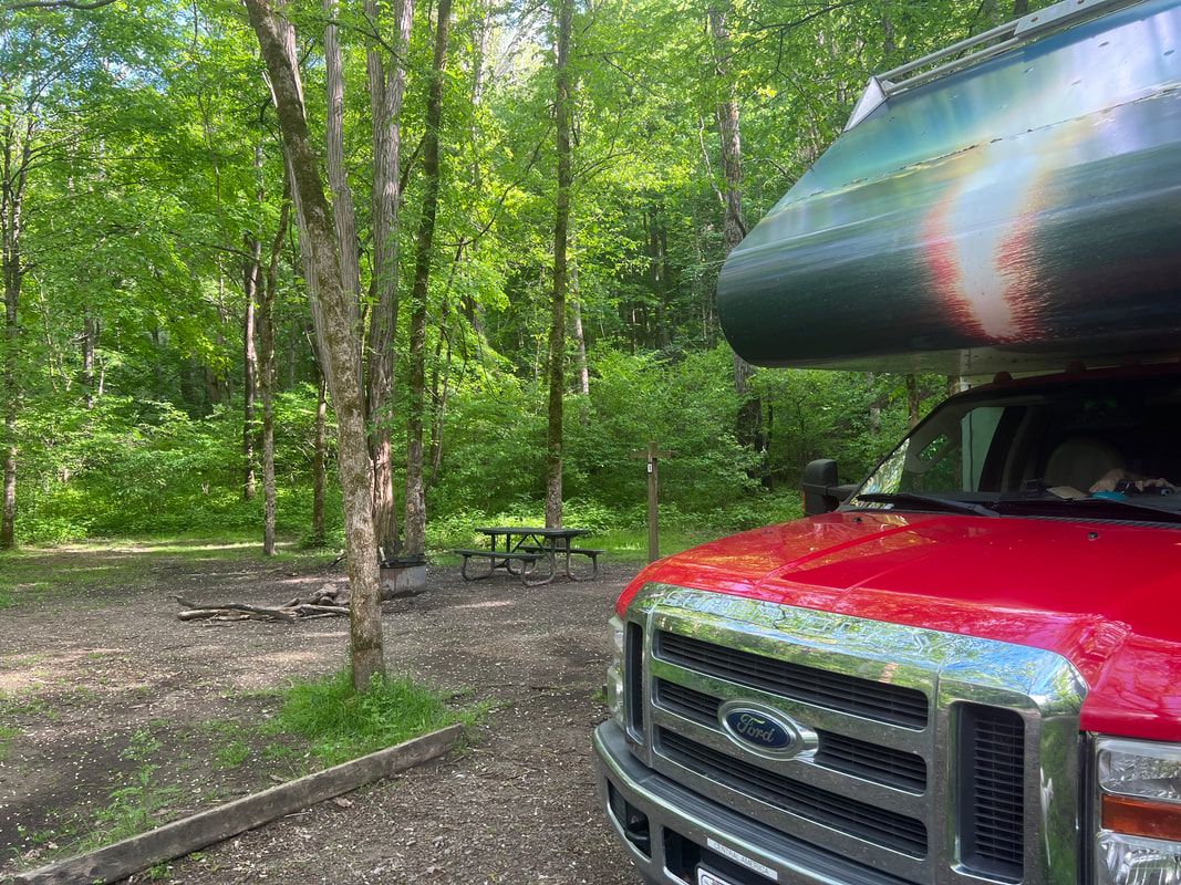
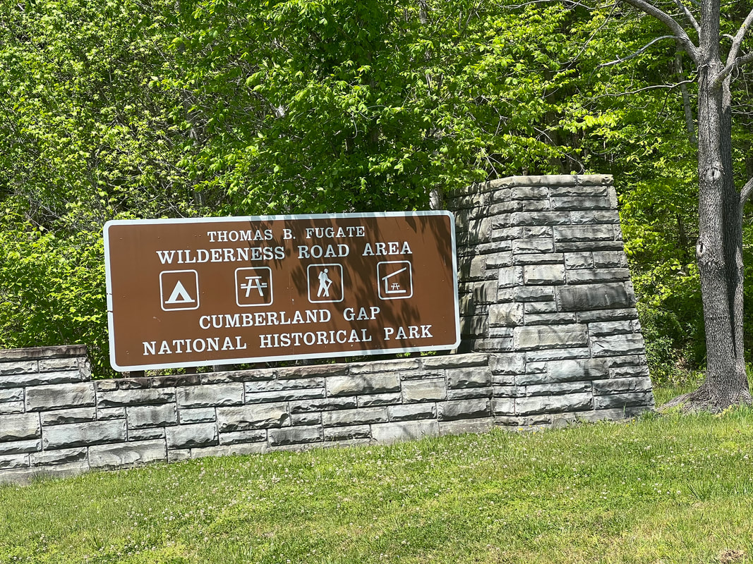
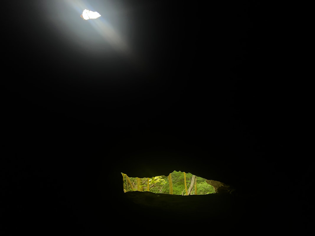
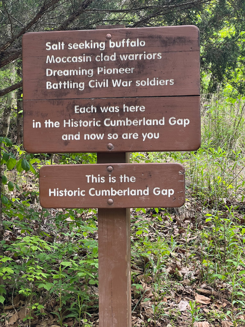
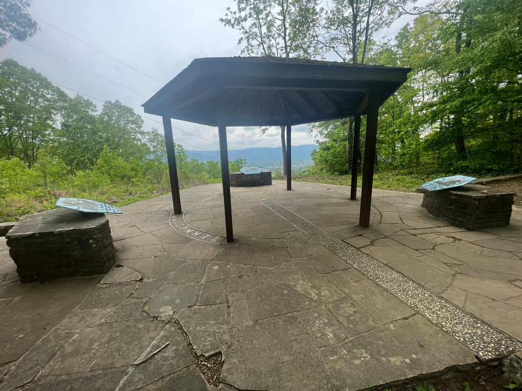
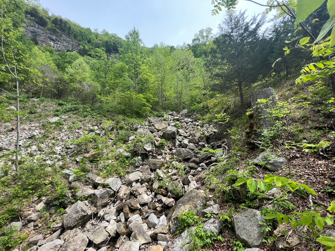
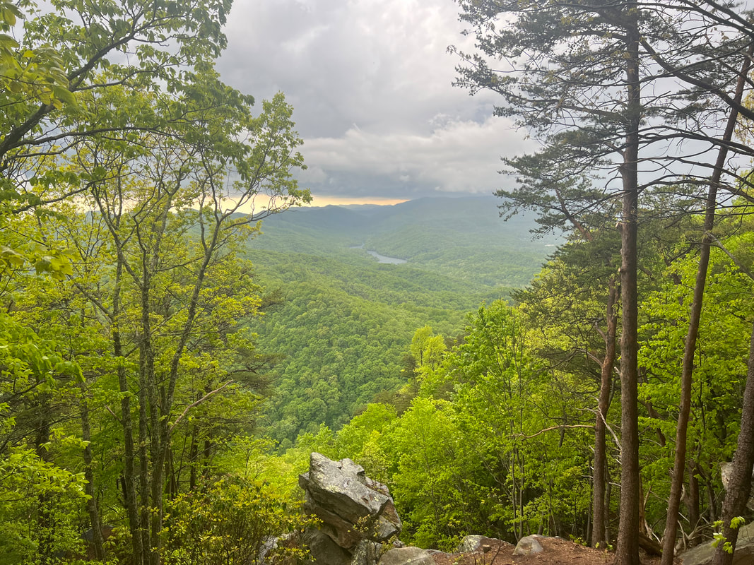
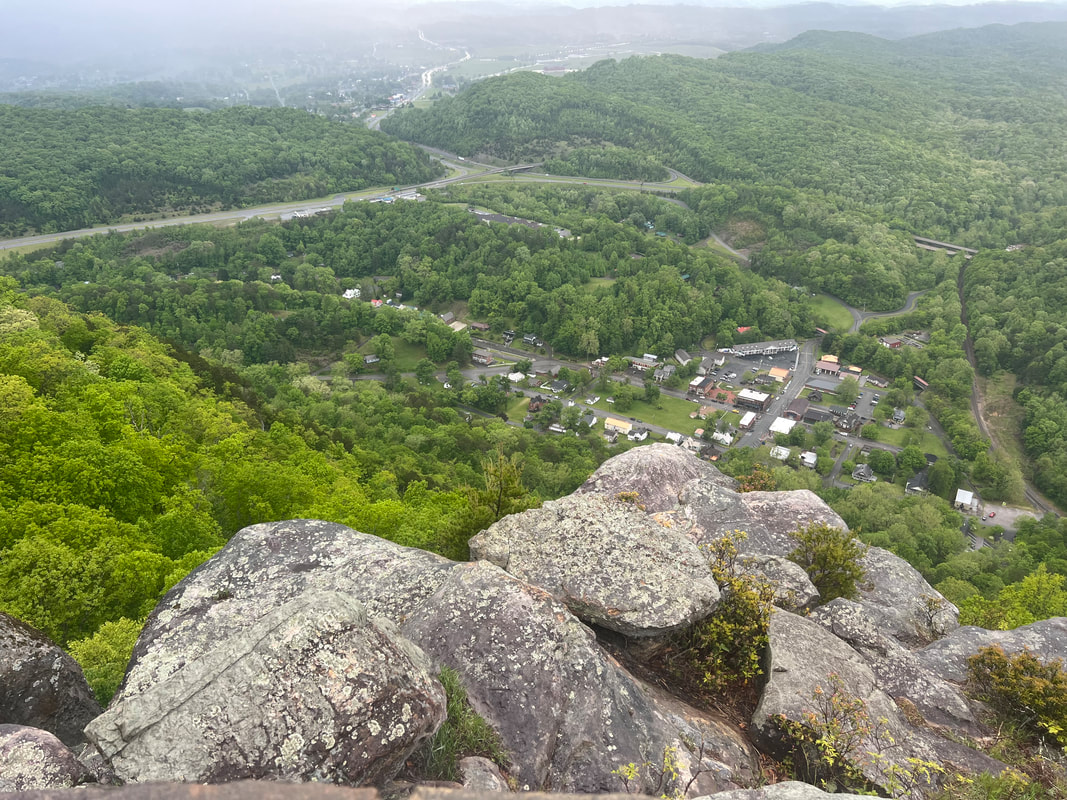
We left Cumberland Gap and drove into West Virginia to visit the newest US National Park, New River Gorge. We had considered giving it a pass to save some time, but so many people had mentioned it, we thought we’d better go take a look. From what we were told, it had been a state park, but the state wasn’t maintaining it and the National Park Service decided it was an area worth preserving, so they took control. The park isn’t very large, but they’re not making any money on it since they don’t charge an entrance fee, and the campgrounds are still free. Three of the five campgrounds have room for RVs, so we started at the one closest to the direction we were coming from, and found a great spot. The park, and the campground, are beautiful, set on the edge of the New River, with a trout-filled creek running down the hill and into the river right at the campground. When we got there, we took a walk on the trail that runs up the creek, and thought we’d probably stay the next day and hike a couple of the other trails in the area. But, plans change. For one thing, it started raining sometime in the night, so the already wet and muddy trails were really a mess. The other thing that factored into our decision to leave the next morning was that we had one of the worst nights of sleep we’ve had on this trip. Sometime after 2AM, a car pulled into the campsite closest to us. The campsites are spread out and there are only five campsites on a fairly large loop, but this idiot pulled in and parked so his headlights were shining directly on the side of the camper. He then spent the next 45 minutes slamming car doors, honking the horn, setting off his car alarm, and generally banging around and making noise. We couldn’t really see what he was doing because he was behind the headlights that were shining directly on us, but in the morning all we saw was his car, a lawn chair, and a mess on the picnic table. All we can figure is that he came in drunk from fishing, made himself something to eat, and then passed out in his car. He wasn’t out of the car when we left the next morning after not getting any sleep since we didn’t know what he was doing, in addition to all the light and noise. We’ve had better nights’ sleep even at the dodgiest of Walmarts, so we gave up and headed for the capitol at Charleston. We had an easy drive from Great Smoky Mountains NP to Cumberland Gap National Historical Park, which covers three states. We camped at the Wilderness Road Campground in Virginia, and over two days hiked in Virginia, Tennessee, and Kentucky. The Wilderness Road Campground is ironically right on the highway, and our only complaint with the campground was a lot of road noise. We had our choice of campsites when we got there since there were very few campers, and most of the campers had opted for the hookup sites where we, as usual, were happy to boondock. This campground also had wonderful hot showers, which we really appreciated our second day there when we returned from a 10-mile hike cold and soaking wet from hiking the last three miles in a thunderstorm. Despite being generous with bear warnings, dogs are allowed on the trails in this park, so we took a hike up the mountain to the aptly named Skylight Cave. The trails are clearly signed and well maintained, so it was a fairly easy walk despite being a pretty good climb. We hadn’t expected the cave to be a real cave so hadn’t taken any flashlights, so I stayed near the entrance when Tom ventured a little further into the cave with the light on his phone. He said he probably could have gone a good way into the cave, except some climbing would have been involved which he didn’t want to do on his own while trying to hold his phone. We reversed our tracks and went back to the camper to look at the map and plan a hike for the next day since we knew what to expect of the trails. The next morning we talked to a ranger who told us that an out and back from the campground to the Tri-State Peak would be a good hike. We decided to leave the dogs in the camper because the weather report was iffy, and dragging miserable wet dogs through the rain isn’t much fun. We packed a lunch and took off on the trail, following a combination of a paper map provided by the park, and the incomplete trail map on maps.me. We found the Tri-State Peak without any trouble, and from there realized the significance of the park. As the US was expanding to the west, Cumberland Gap was the only way westward bound settlers could cross the Appalachians. It wasn’t easy by any means, but it was easier than any other way within hundreds of miles. This is clearly seen from the peaks overlooking the Gap. The other interesting historical fact is that the surveying of state lines was disputed for decades after the original Lewis & Clark survey, and the eventual decision was based partially on the Gap. In more recent history, the historical Gap road which had gone from animal trail to Indian trail to wagon trail and eventually to road was replaced with a tunnel in the mid 1990s, and the park service made a concerted effort to remove all traces of the road and return the landscape to what it looked like in the 1880s when the road was barely a wagon trail. In 2023, I’d say they’ve been successful, and there’s a whole lot of history to take in from the top of that mountain along with the views. When we finished our lunch at the top of the Tri-State Peak, we took a look at the weather, and another look at our maps, and decided that rather than retracing our steps, we would take the slightly longer loop route back and go to the Pinnacle Overlook for a better look at the actual Cumberland Gap since you can look down on it from the Overlook, rather than essentially being in it on the Peak. After descending from the Tri-State Peak, we had to climb back up about 1400 feet over just a couple of miles. By the time we reached the Overlook, the weather system had decided to divert from its predicted route, and we were hearing the steady rumbling of thunder. It started pouring just as we reached the shelter by the Overlook parking lot, so we stood with a few other people to wait for the storm to pass. A very kind family offered to drive us back to the campground, but since we had hiked all that way to see the view from the Overlook, we opted to wait for the thunderstorm to pass so we could run to the top to get a look without getting struck by lightning. Eventually the thunder and lightning were far enough in the distance that we decided it was worth the risk, and we climbed the last little bit for the very worthwhile view from the top. After seeing all we could see, we set out back towards the campground along the Ridge Trail, which basically follows the state dividing line along the ridge. As we hiked, weaving back and forth between Kentucky and Tennessee, we watched the fog roll into the valley and were very glad that we’d made the dash to the Overlook when we did. Somewhere along the way it started raining again, so we hiked the last few miles trying not to slip on the mud and wet leaves, and moving fast enough to keep ourselves warm. We bailed on the last mile or two and left the woodland trail for the paved road, but we don’t think we really wussed out since we ended up doing about 10 miles that day anyway with over 2000 feet of climb…even before our Apple Watches burped because of rain drops. We were very glad we’d left the dogs home, and we were also very glad we had access to nice hot showers. We spent another quiet night before continuing down Daniel Boone’s Wilderness Road the next morning.
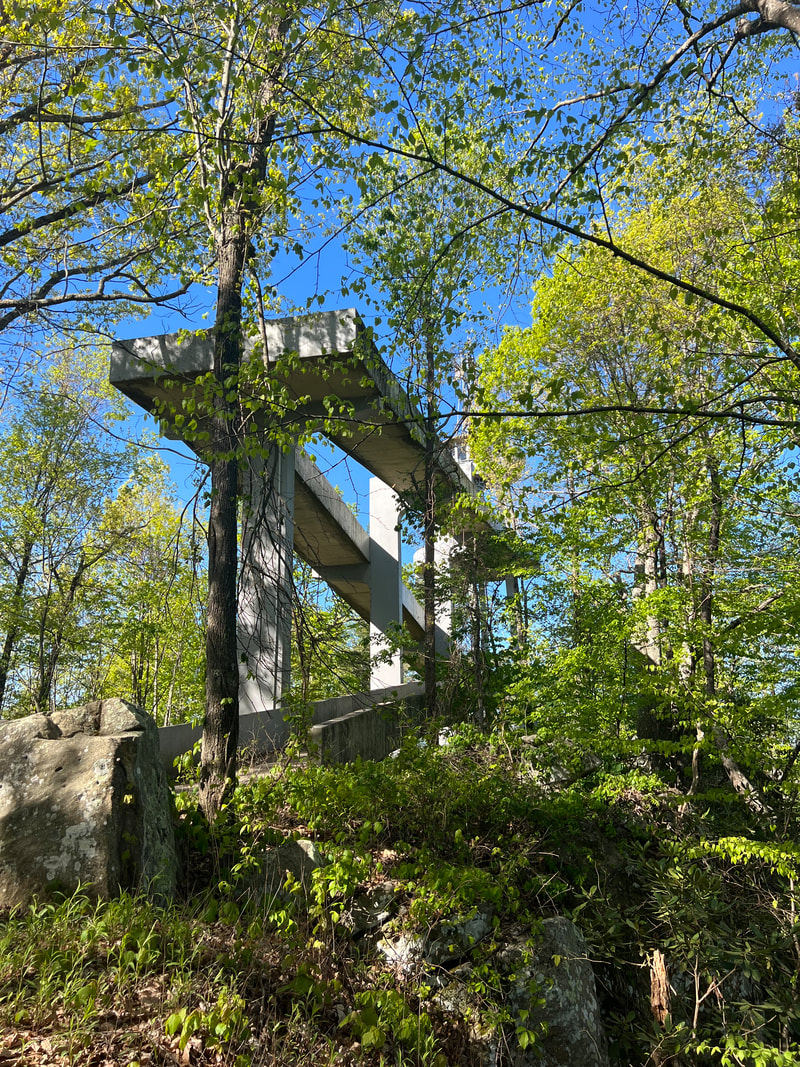
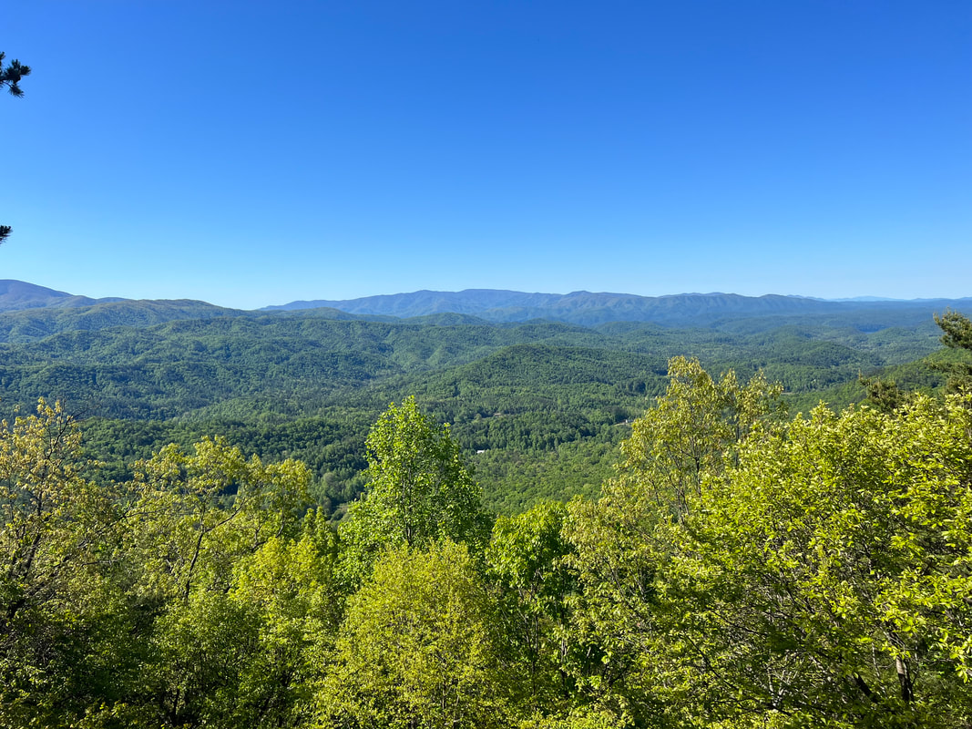
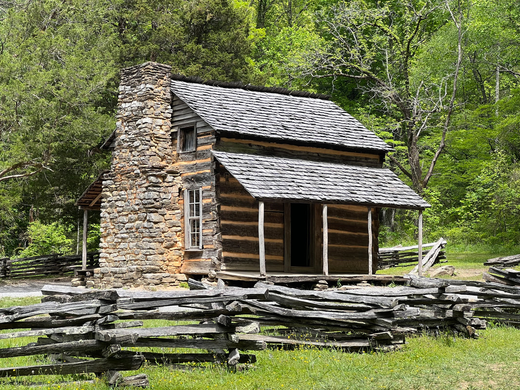
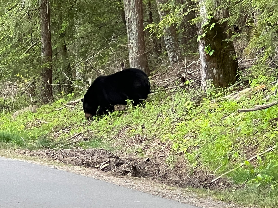
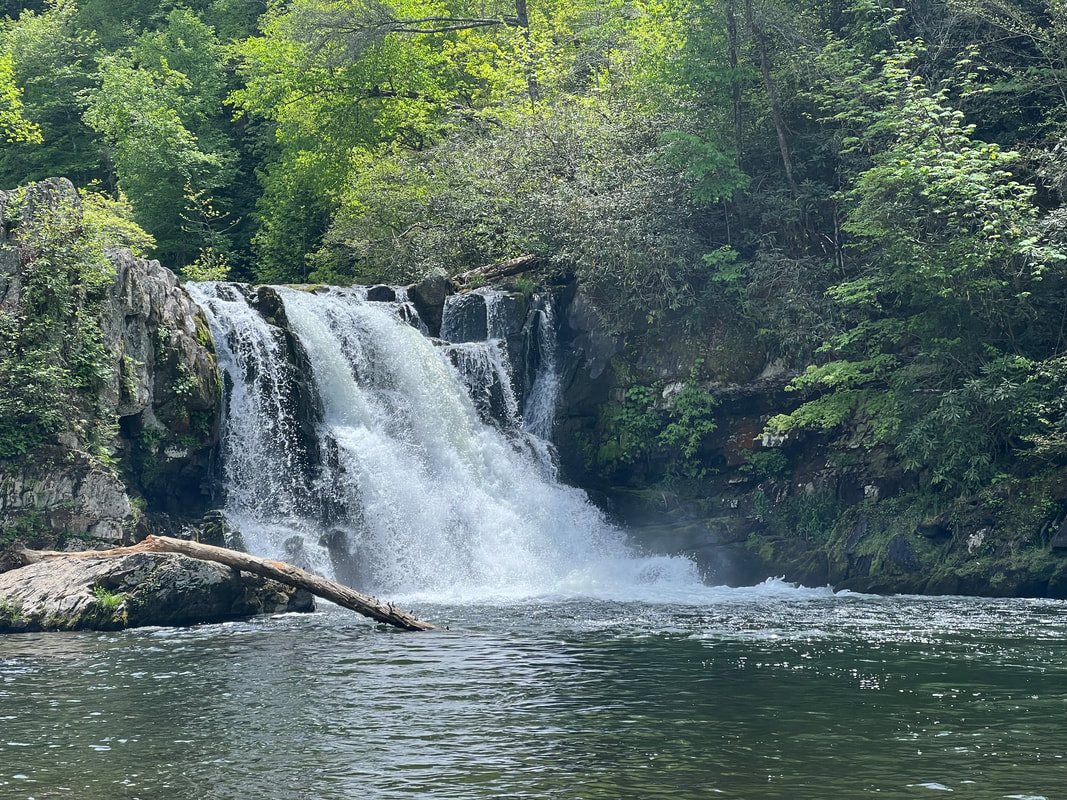
We left Ragland Bottom heading towards the Great Smoky Mountains National Park. This park spans both Tennessee and North Carolina, but we’d gone horse camping in the North Carolina part of the park years and years ago, so we decided that this trip we would see the Tennessee side of the park. National forests surround the park, so we had initially planned to find a boondocking spot somewhere outside the park, but when we stopped in Kingston for lunch and a walk, we looked at the map and realized that most of the roads around the park are very windy and very hilly and getting into and out of the park would take up most of the day, and, with the gas we would use, it made sense to book at one of the campgrounds in the park. The Cades Cove Campground was our first choice, but they didn’t have any availability for that night, so we booked one night at Look Rock Campground, which was closer to where we were anyway, and the following two nights at Cades Cove. After a walk along the lake in the city of Kingston, and a stop at the city park, we plugged Look Rock Campground into our TomTom Trucker GPS and got on our way. All was well until we looked at what the GPS was showing us for the final approach to the campground, and realized it was a series of very tight switchback turns - exactly what we had hoped to avoid by booking in the park. But, we slowly made our way up the hill, driving cautiously around every blind curve, and finally made it to the campground. We checked in and asked the camp hosts how they’d managed to get up that hill with their fifth wheel, and they explained that they’d come in over the Foothills Parkway, although a few other people had mentioned the windy road. We eventually figured out that our trucker GPS wouldn’t let us on the Foothills Parkway because it’s closed to commercial vehicles, and the trucker GPS doesn’t let us go where commercial vehicles can’t go, even though we’re not a commercial vehicle. We talked to a few people in the campground who had rigs much larger than ours, and they assured us that the Foothills Parkway was a much easier way to access Look Rock, which turned out to be true when we left that way in the morning. With just one night at Look Rock, we spent the rest of the afternoon exploring the campground. The campground is pristine, and we discovered that it had only been opened for about a week before we got there, after nine years of being closed. That explained why so many spots were available, which I don’t think will remain the case for long when people discover how nice it is. They’re still working on adding more sites on another loop, and it’s the only campground in the park with electric hookups, and I expect by the end of the summer they’ll be rediscovered. In the morning, we hiked to the Look Rock Tower, where we had awesome views of the entire area. We weren’t able to take the dogs because dogs are strictly banned from all of the trails in the park due to bears, but they didn’t mind a rest in the camper. After our walk to Look Rock, we headed for Cades Cove for the next two nights. Cades Cove was much busier than Look Rock, but the area is big enough that we didn’t feel like it was overrun with people. That afternoon we took a walk around the campground area on the horse trail and a nature trail, and didn’t even see anybody other than a few guides leading horse rides. We made plans to ride our e-bikes around the Cades Cove Loop Road, which goes to the original Cades Cove settlement the next day. We’d missed the day when they close the loop road to vehicles to allow bikes, so we were a little worried that we’d be in the way of cars, but that turned out to be a needless worry. 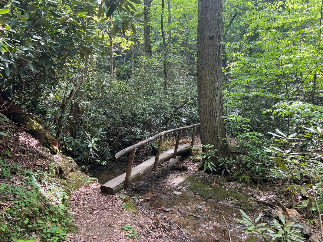 The bicycle ride around the Cades Cove Loop was a great way to see the park. After all the fuss about bears with the dogs, and garbage, and outside cooking, we really hoped we would see a bear…but we didn’t expect to see 12! We were barely on the loop when we would got stuck in a line of cars because somebody had pulled over to watch a mama bear and her three cubs, and had driven into the ditch and was blocking the road. With our bikes, we were able to scoot down the side of the road and see the bears, and we quickly realized that we were going to spend more time waiting behind cars than having to pull over to let cars pass. We rode the first half of the loop, stopping to look at all of the old buildings. We saw a few more bears, and some deer, and parked at the far end of the loop to do a hike to Abrams Falls, which was about 5 miles out and back. We saw a number of people on the trail, but we never felt like we were in a line of tourists like we had in Acadia. We were also really glad our bikes are e-bikes, because a five mile hike on top of an eleven mile ride might have been pushing it. As it was, the hike was beautiful, the falls were beautiful, and everything we saw along the trail was interesting. We got back from our Cades Cove Loop ride and loaded up the truck, ready to head towards Cumberland Gap the next day.
|
Meet the Moonracers
Tom and Marge are taking Moonracer Farm On The Road Again. Follow our journey to build an expedition vehicle and travel! Archives
January 2024
Categories |
