|
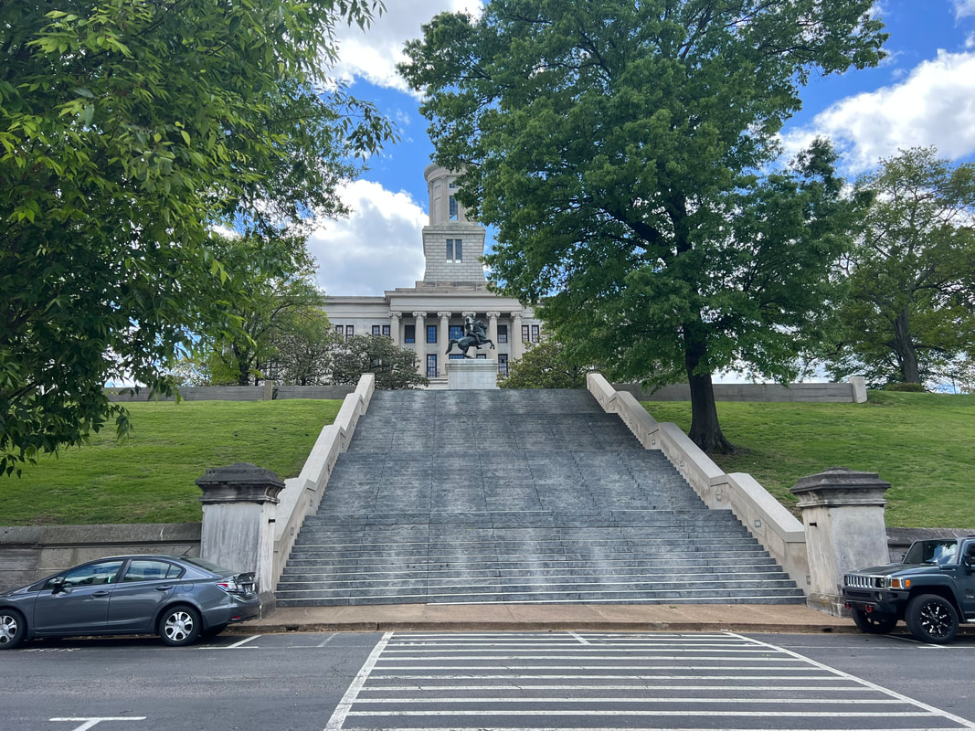
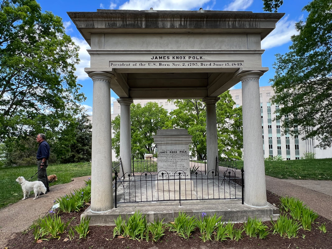
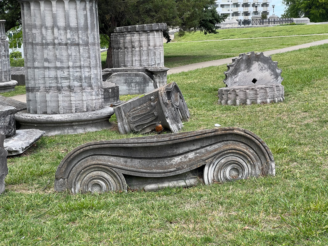
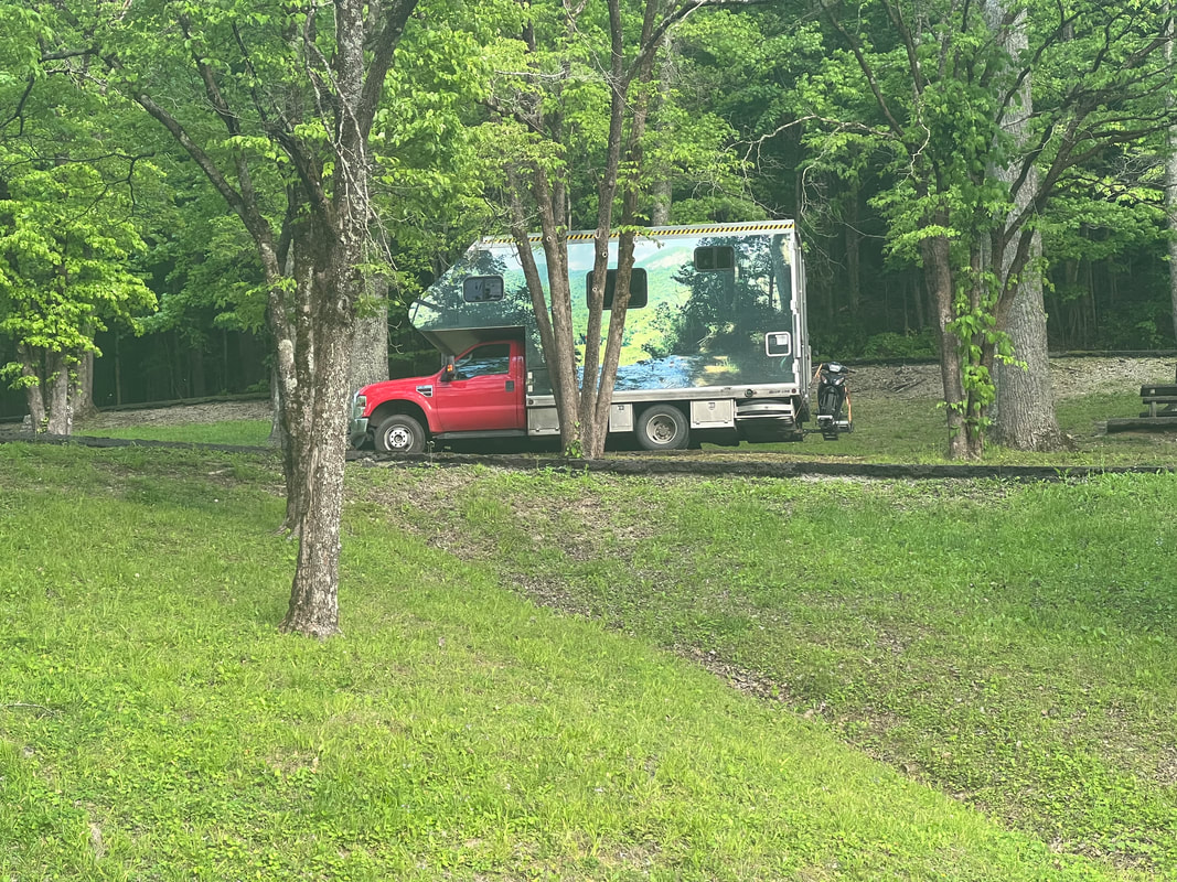
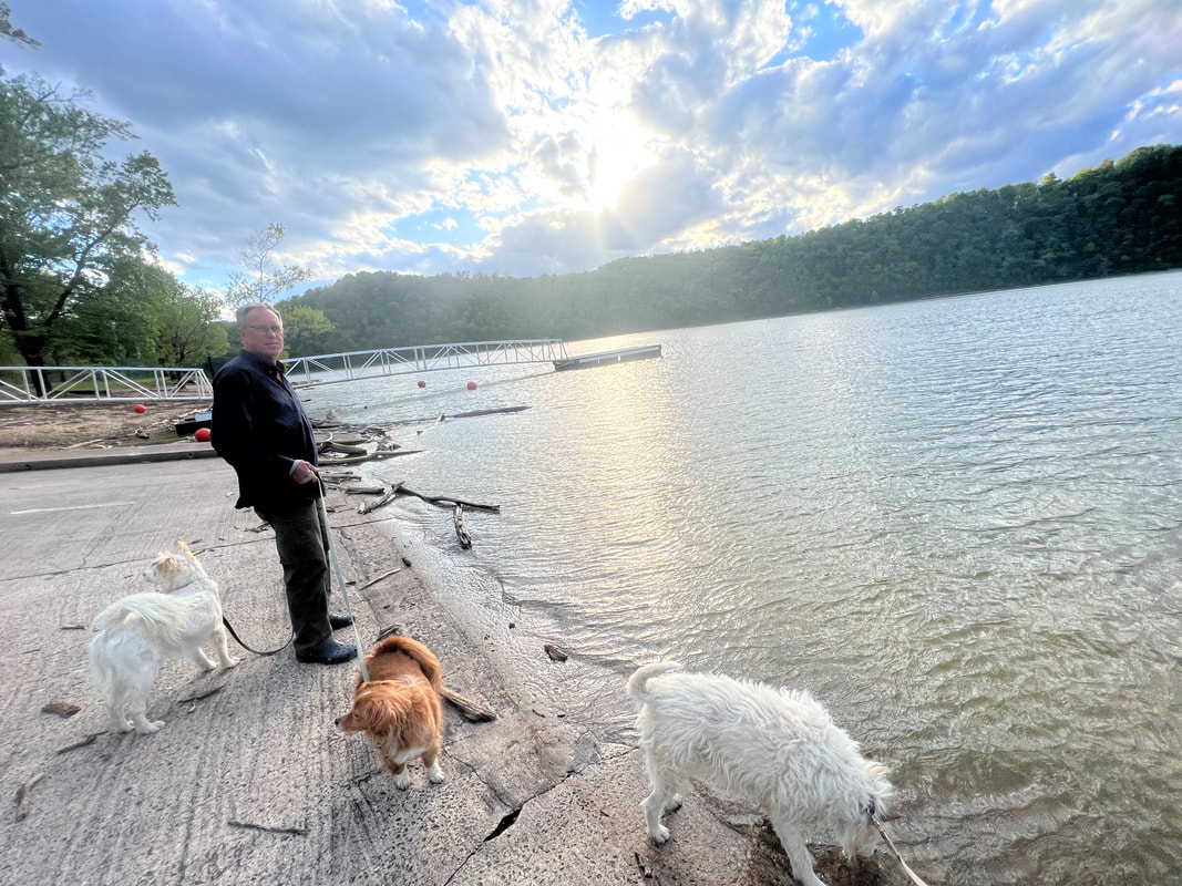
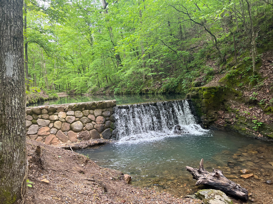
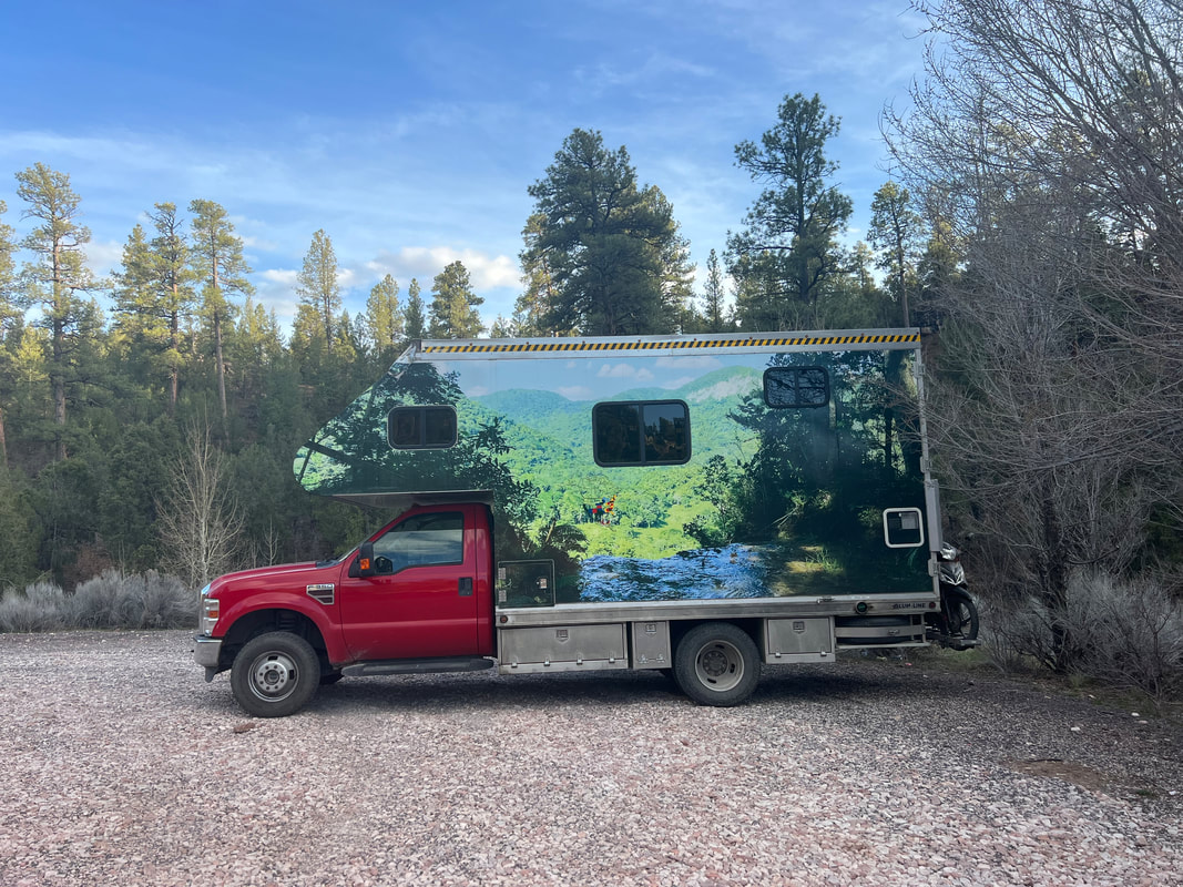
We left the Walmart near Little Rock early to avoid the predicted wind. But, it caught us shortly after Memphis and we pulled off at Natchez Trace State Park and ate lunch and took a 5 mile hike. The hike was great, but while we’re really enjoying our first spring since 2006, I discovered that I still have hay fever and I spent most of the hike blowing my nose and rubbing my eyes. The wind was supposed to stop around 4, so we continued towards Nashville avoiding interstate 40. It was still windy so we stopped in Dickson at a Walmart for the night, where fortunately the allergies weren’t as bad as they were at the state park. In the morning, we continued on to Nashville without any major problems with the wind. We were just about to give up on finding a place to park when we went over the bridge and saw the Titans’ Nissan Stadium wide open parking lots. It wasn’t cheap, but it was easy parking and we were able to walk back over the bridge and walk around the capitol area. Nashville was more of a city than we expected, with an expansive skyline. The capitol area is more like a museum, with very informative memorials and exhibits. There were tributes to all the presidents who came from Tennessee - more than we expected - as well as exhibits of artifacts from the capitol itself when it was renovated. The capitol is imposingly set at the top of a hill overlooking the river and the business district, and we could easily see why so many people love that city. Our next planned stop was Great Smoky Mountains National Park, but we knew that was more than a day’s drive for us, so we used our apps and found Ragland Bottom Army Corp of Engineers Campground. They require that you book online, but I couldn’t find any non-electric campsites for campers, so I called the campground to see if we could get a walk up site. The ranger I talked to explained that we did have to book online before we got there, but told me which of the non-electric sites could fit our rig, and advised me to just answer the questions to make the on-line booking system happy. So, that’s what I did and we found ourselves in a very nice site overlooking the dammed lake. We’ve been impressed with all of the Army Corp of Engineers campgrounds where we’ve stayed, but this one was even nicer than the others. They had free hot showers in the cleanest bathrooms I’ve ever seen, and they were very accommodating about letting us go to an empty site with services to fill our water tanks, although we didn’t need much water since we used the very nice hot showers. We ended up staying there two nights instead of one because the wind continued, but that just gave us a day to enjoy the park. When the wind died down after two nights, we headed towards the Great Smoky Mountains National Park.
0 Comments
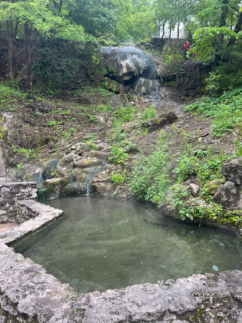
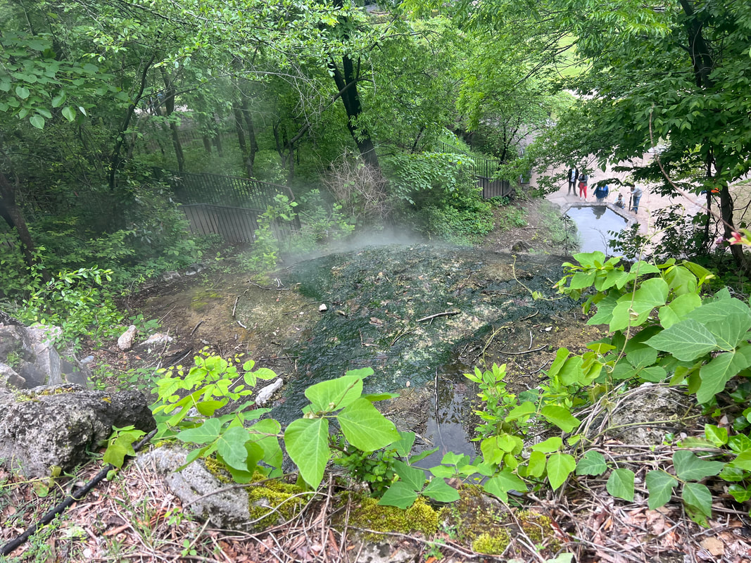
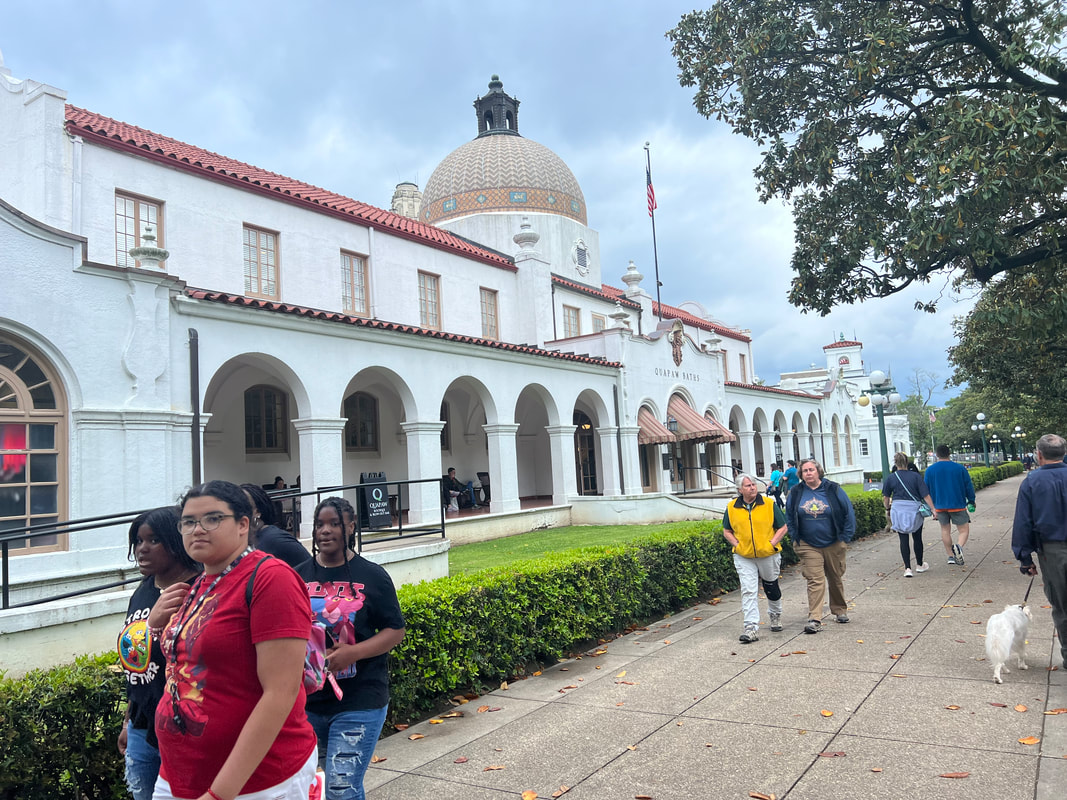
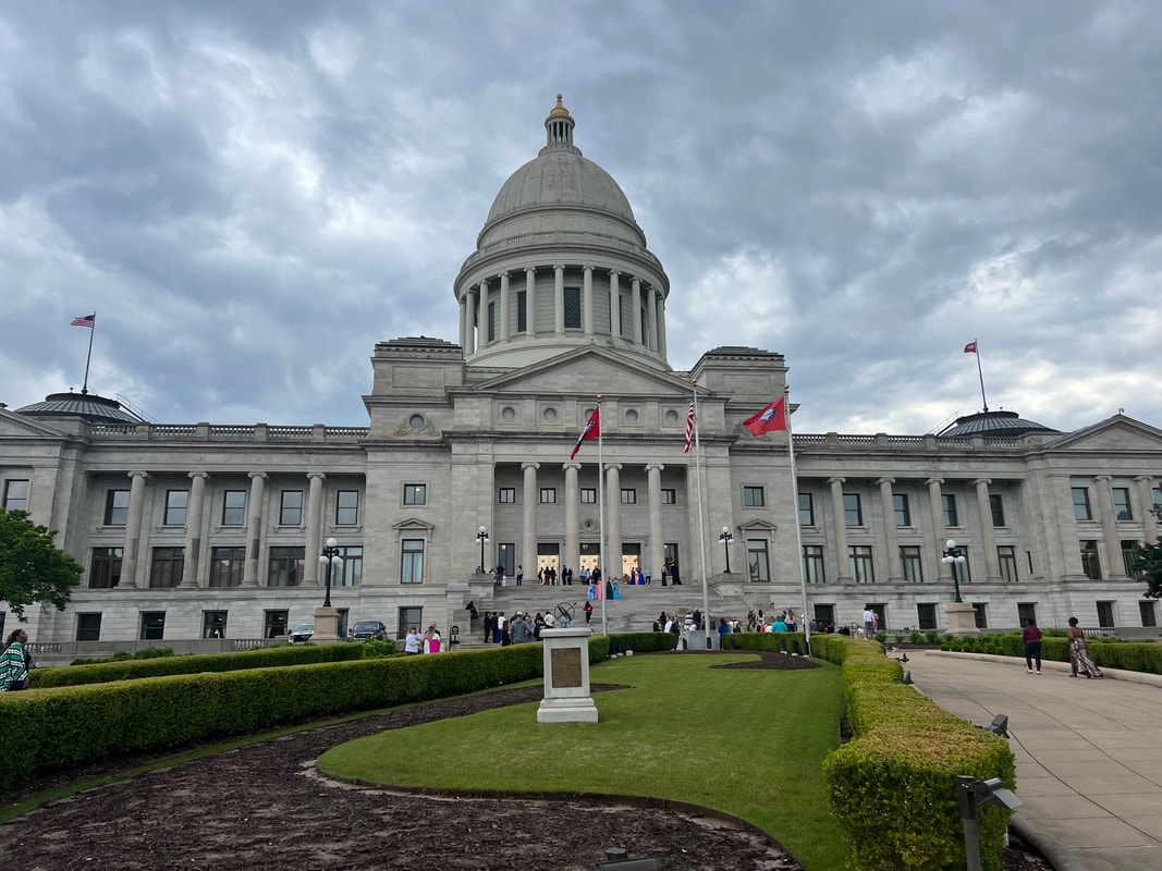
We left Albuquerque a little after 6am, and drove 529 miles to El Reno, OK. This was our longest day of driving on the entire trip, but it was straight east on I-40, so it wasn’t too difficult. The next morning we headed for Arkansas to see the Hot Springs National Park and the capital, Little Rock. However, we got off I-40 shortly after driving into Arkansas, so it wasn’t as easy to make time and we stopped about 30 miles short of Hot Springs at a free campground built by the CCC in the 1930s in the Ouachita National Forest. The campground is named Crystal Campground because the area around it is known for crystals, and people visit the campground to dig for them. We didn’t do that, but we talked to some people who were staying there and digging, and they said you could put a shovel in the ground pretty much anywhere and you would find crystals. The campground is set on the banks of a pretty little creek, so the setting is very pastoral, although two of the campsites were inhabited by loud mouthed rednecks who seemed to feel that whatever they were blabbing about was so interesting that the entire campground had to hear it. We were kind of glad it rained that night so they went in their tents, and we went in the camper and shut the windows and listened to the rain on the roof. The next morning we took the short drive into Hot Springs. The Hot Springs National Park is in the city of Hot Springs, and the park is basically the hot springs spas historic area. It’s very interesting to see and feel the hot springs where the water comes out of the ground, but the park is about the history of the mansion-like spas and all the famous people attracted to them over the years. When we drove into Hot Springs, we were a little afraid that this was going to be a drive-by visit because the city was so busy on a Saturday morning, but we followed traffic until we came to the beginning of the scenic loop road and decided to follow that. The road winds around the hill behind the spas, and comes out at a tower built on top of the hill, which, lucky for us, had a parking lot big enough to accommodate our camper. We parked and took the elevator to the top of the tower to see the surrounding landscape, and then used that parking lot as a base to walk around the park where we could see the hot springs, and along the street where the spa buildings still stand, although they have mostly been repurposed as offices, visitors’ centers, and a brewery which uses the spring water to make its beer. We hadn’t really known what to expect of this park, so we spent most of our time there trying to figure out its major themes which, as I said above, are mostly about the history of the area. We passed on a $470 couples hot spring spa treatment in one of the two remaining spas, and contented ourselves with sticking our hands in the hot springs and watching the steaming water. We left Hot Springs and took about an hour to get to Little Rock. On a Saturday evening, we were able to park in an open visitor parking space right in front of the capitol, The capitol is impressive but relatively plain, but we were quite happy to see that it was being used as a pre-prom photo shoot site for a local school’s senior prom. The girls were gorgeous in their gowns, the boys were adorable in their tuxes, and it was fun to walk among so many happy people. We did a quick loop around the building and got back in the truck to continue our trek east into Tennessee after a night in a Walmart parking lot right off of I-40. We could have done without the traffic noise, but I have to admit that it might have been better than the loud mouths of the previous night at the Crystal Campground.
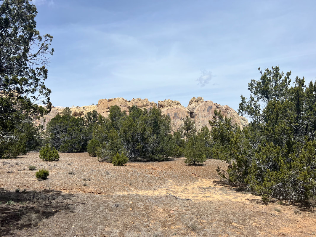
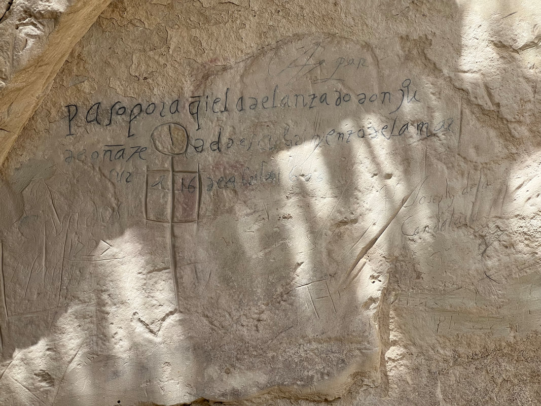
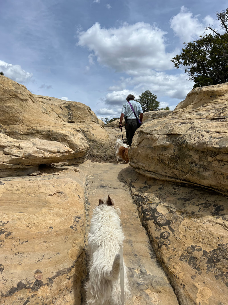
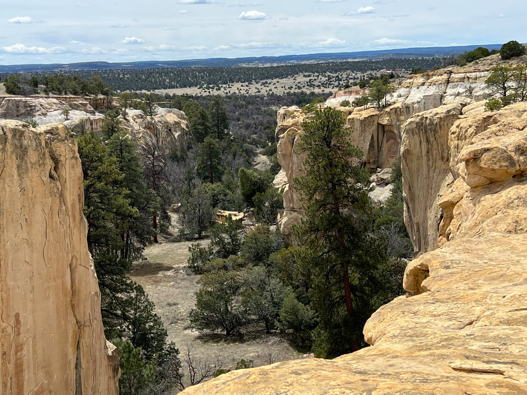
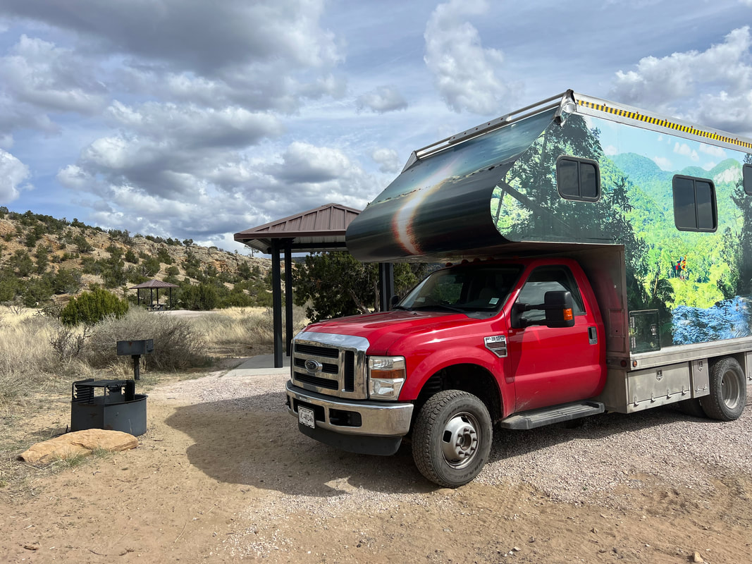
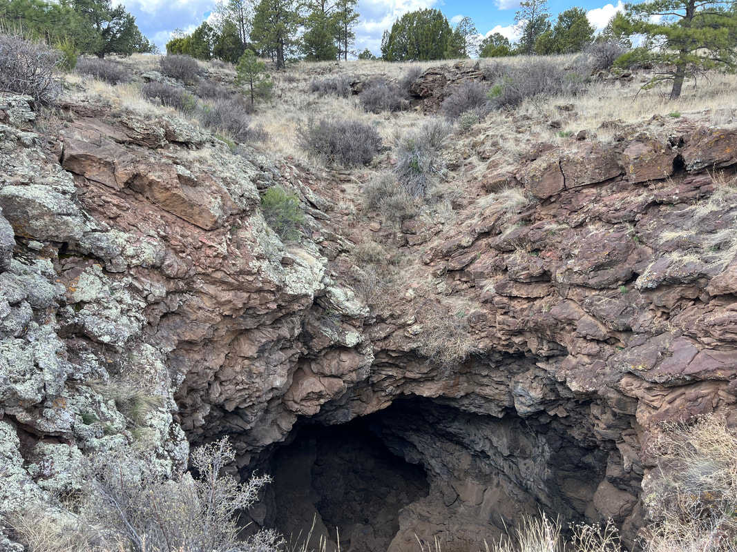
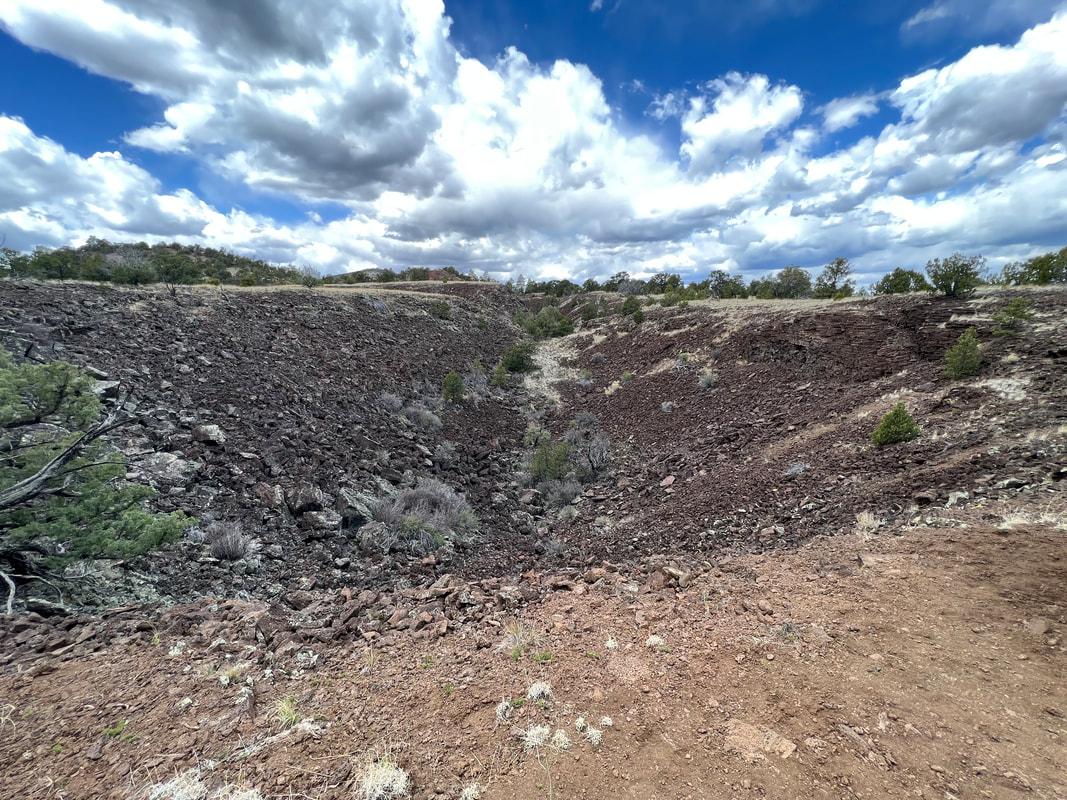
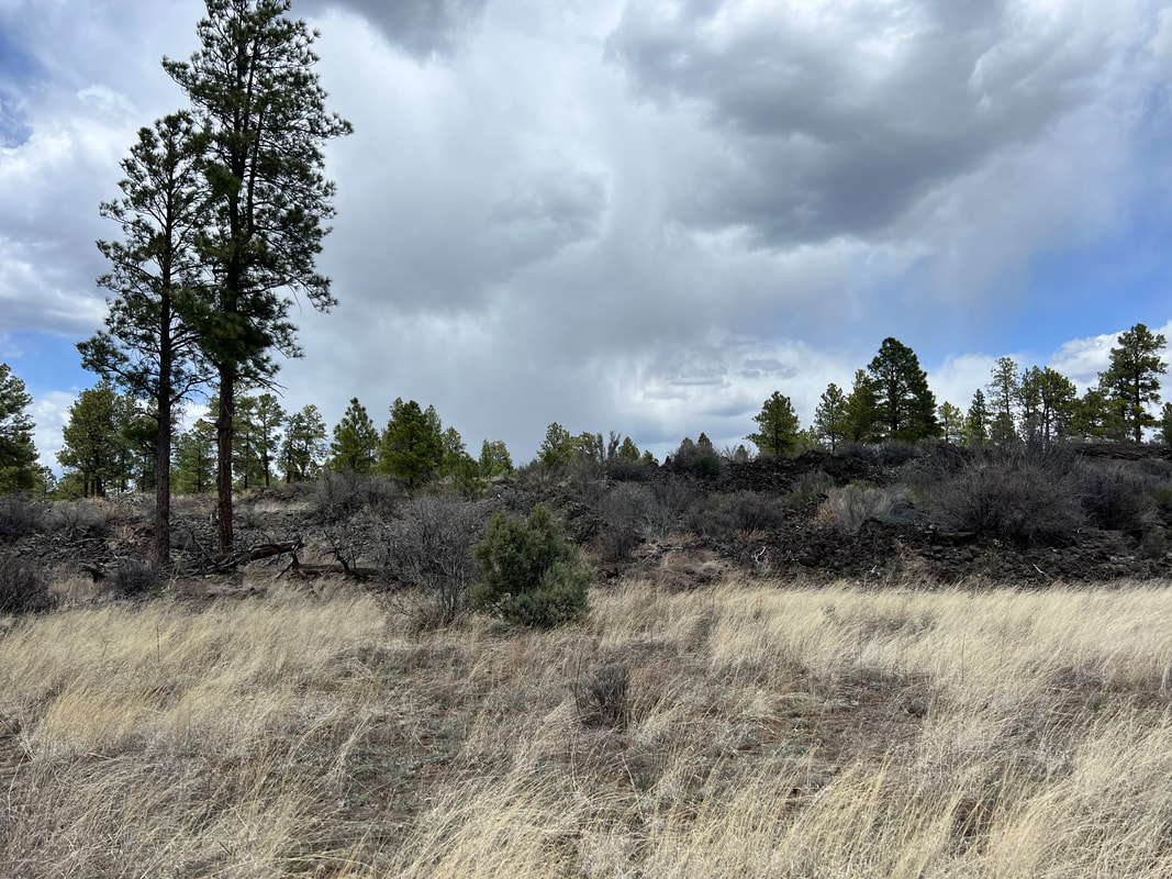
When we were planning our route heading east, we found these two small National Monuments would be in our path so we planned stops at both of them even though we didn’t really know what to expect since we’d never heard of them before we started using the National Parks app. We were a little nervous about getting there because they were on Ice Cave Road, but we found that Ice Cave Road is a state highway and the road to El Morro was paved all the way into the parking lot. El Morro means “the bluff” in Spanish, and the park is built around a big rock bluff which stands over the surrounding grasslands, and which was well known as a stopping place for travelers because of a year round spring at its base. The rocks around the spring are full of carvings left by travelers using the east/west route by foot, on horses, and in wagon caravans, so it’s very historically interesting. We thought this would be the extent of the park, but were pleased to find that the park service has built a trail which winds up the back side of the bluff and allows you to walk around on the top, where you can also see the ruins of an ancient peoples’ village, as well as some amazing views. We finished our hike and headed for El Malpais, which means “the badlands” in Spanish. By this time we didn’t have time for a hike, so we went directly to the free Joe Skeen Campground on the east side of the park with plans to spend a couple of days there to do hikes in different areas of the park. Fortunately we had good cell reception there, because when we started looking at the weather for the next couple of days we found that high winds were forecast. So, we did a replan and decided to head out the next morning to see the Natural Arch, and then go back to the other side of the park to hike to a volcano crater. The arch was just a short drive from the campground, so we did that first, and then when to the trailhead for the El Calderon Trail. The trail wound past a few lava caves, then up to the crater, and then through the lava flows on the way back down. While it wasn’t as interesting as an active volcano, it was a good hike and we were lucky to run into a retired geologist hiking with his two dogs who shared a lot of information about the area. We were back in the truck and heading for Albuquerque just a little after noon, and just as the winds were starting to pick up. We had one scary moment on the state highway when we were slammed by a dust devil that knocked us onto the shoulder of the road, but by the time we were heading directly east towards Albuquerque, the wind was at our backs and even though it was gusty we were okay. We elected to stay off the interstate and follow what’s left of Rt. 66, and we made it to Albuquerque without any further problems. We had learned the day before that Tatiana was in Belize so we didn’t get to see her - although we were very glad she’d been able to go! - but we got to visit with Aspen for a couple of days while we waited for the worst of the winds to pass. We got haircuts and caught up the laundry and made plans for some truck work, and hit the road early a few days later, heading east.
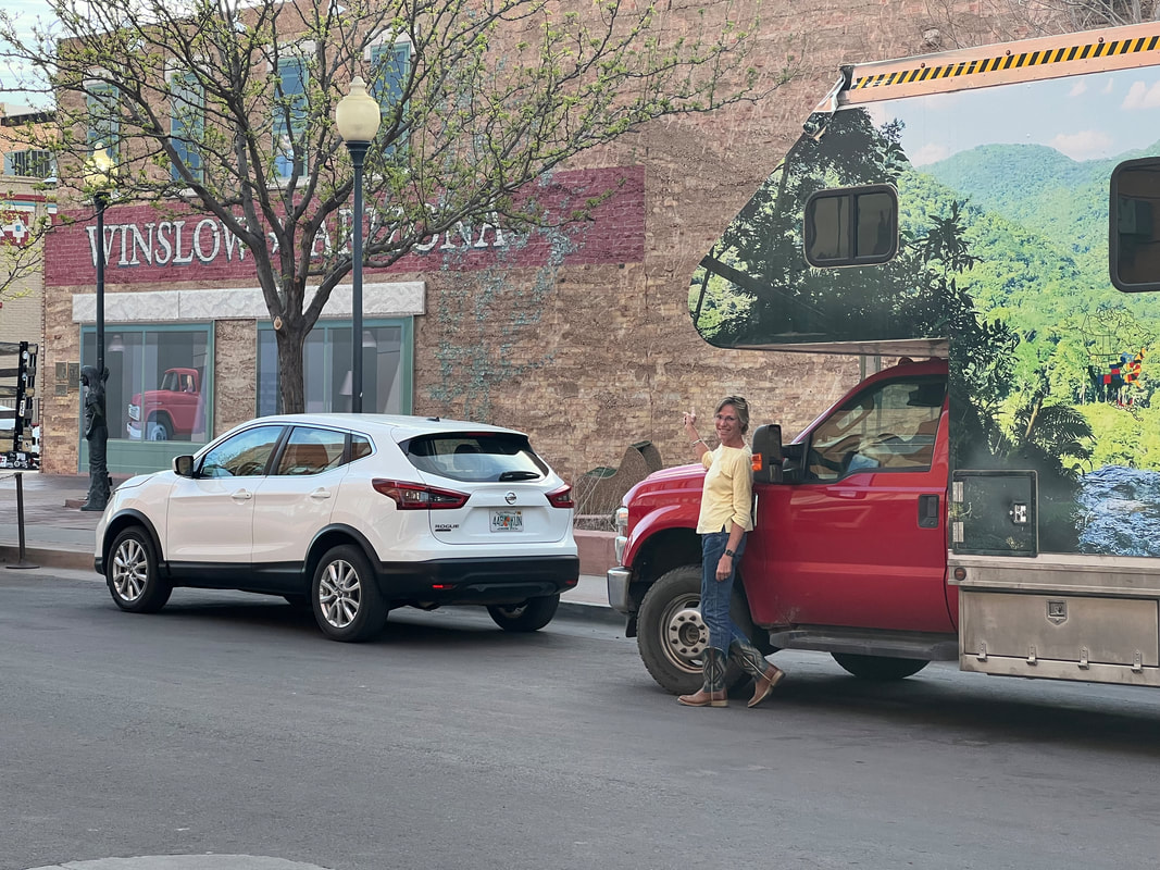
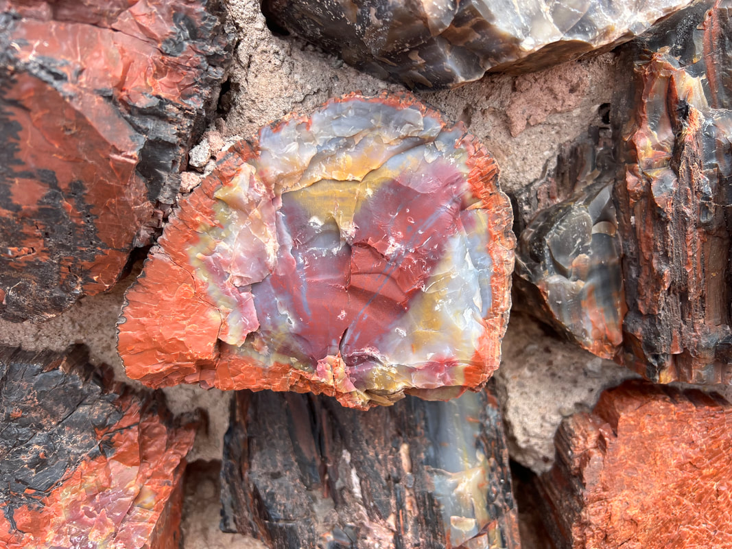
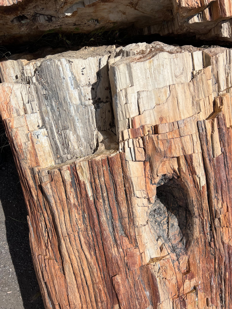
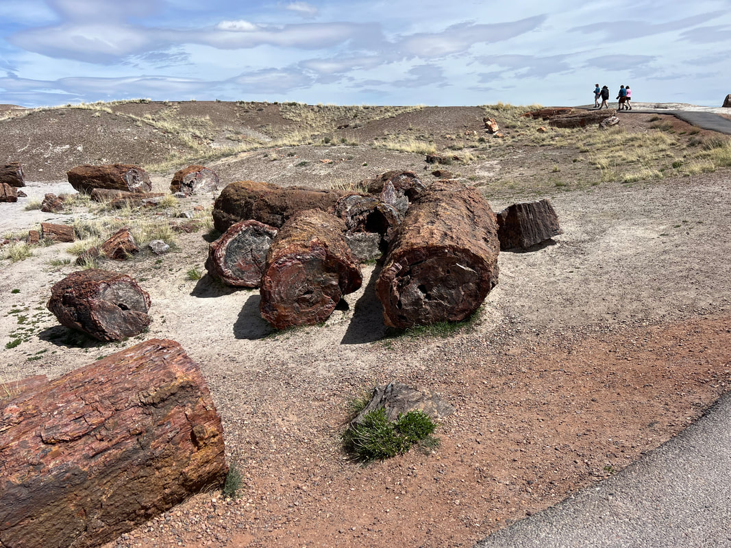
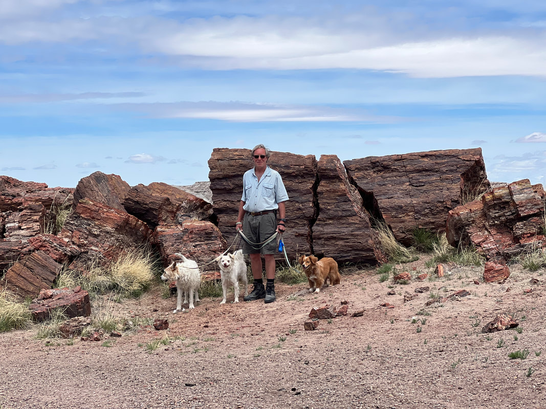
Our plan had been to leave Walnut Canyon, do a drive through in Winslow to see the famous corner, and then find some free place to camp near the Petrified Forest. But, because we left Walnut Canyon so late, we decided to get to Winslow and call it a day. The Winslow Chamber of Commerce allows RVs to overnight in their parking lot, so once we found that we went shopping and filled the truck, and then went to the Standin’ On The Córner Park for the photo op I’d been waiting for, where I could caption it “Used to be a girl, used to be a flat-bed Ford.” We got the photo and then spent a quiet night in the Chamber of Commerce parking lot, although we were up and out earlier than expected since they were having a street festival the next morning and people started pulling in to set up their tents around 5am and we needed to move to make room. That turned out to be a good thing, because the Petrified Forest National Park is a full-day drive through if you want to see everything. Going into it, we weren’t sure how much time we’d want to spend because we’ve seen a lot of desert, and Petrified Forest didn’t have any great hiking trails, and we figured petrified wood was just more rocks. We stopped at a museum and gift shop just as we entered the park, and realized how wrong we were. The petrified wood comes in every color of the rainbow, and looks like stained glass when it is cut thin and polished. And, it doesn’t really need much polishing because it’s clear and shiny even in the logs. The other thing I found totally unexpected was that while some of the petrified wood looks like beautifully colored glass, some of it looks like…wood. It’s all rock, but you can see the heart wood, surrounded by the outside layer of wood, surrounded by the bark. Somehow that all turned to stone without rotting. As we walked around the different areas of the park, I kept having to remind myself that we were looking at rocks, not somebody’s wood lot where they had a log delivery to chop up for firewood. I took a ton of pictures, since everything I looked at had some unique fascinating (to me) quality. At the end of the day, I had to admit that it’s a good thing we’re traveling in a camper and trying to keep the weight down, or I would have come home with a lot of rocks. We drove the park from south to north, so we exited through the Painted Desert at the end of the day. I’d really been looking forward to that, but it was a little bit of a letdown after the surprisingly fascinating petrified wood. We were heading back into New Mexico to go to El Morro and El Malpais National Monuments, so we found a place to park in the Cibola National Forest which was on the way there. The next day we realized we should have just driven to El Morro and camped in their free campground, because it wasn’t a much longer drive than where we parked in the National Forest, and the parking place was a little weird. The road is paved and surprisingly busy, and the camping spots are just gravel pull offs on the side of the road, and people were beeping at us all night. We believe it was friendly beeping, but it was still a distraction. And, the pull off was full of garbage, and in the morning we found a recently dead dog someone had thrown over the edge, which we of course found very upsetting. We left the Cibola National Forest with a bad taste in our mouths and headed for El Morro.
|
Meet the Moonracers
Tom and Marge are taking Moonracer Farm On The Road Again. Follow our journey to build an expedition vehicle and travel! Archives
January 2024
Categories |
